SW Idaho/SE Oregon BLM Fieldwork
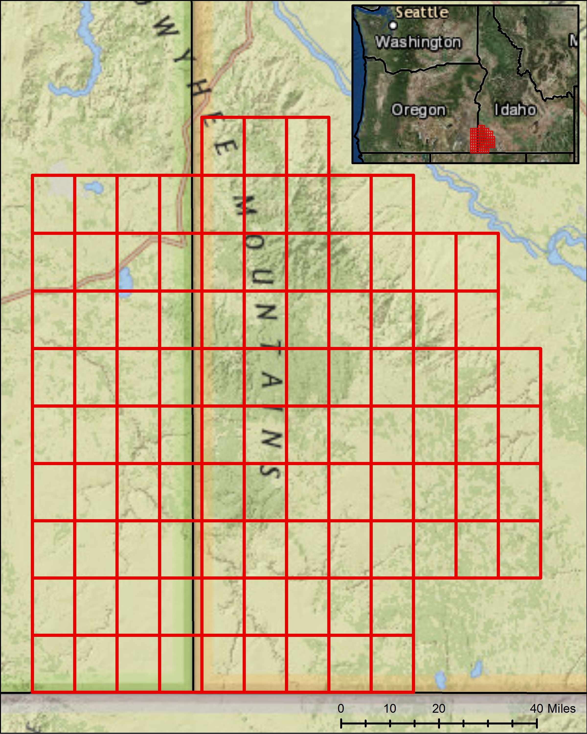
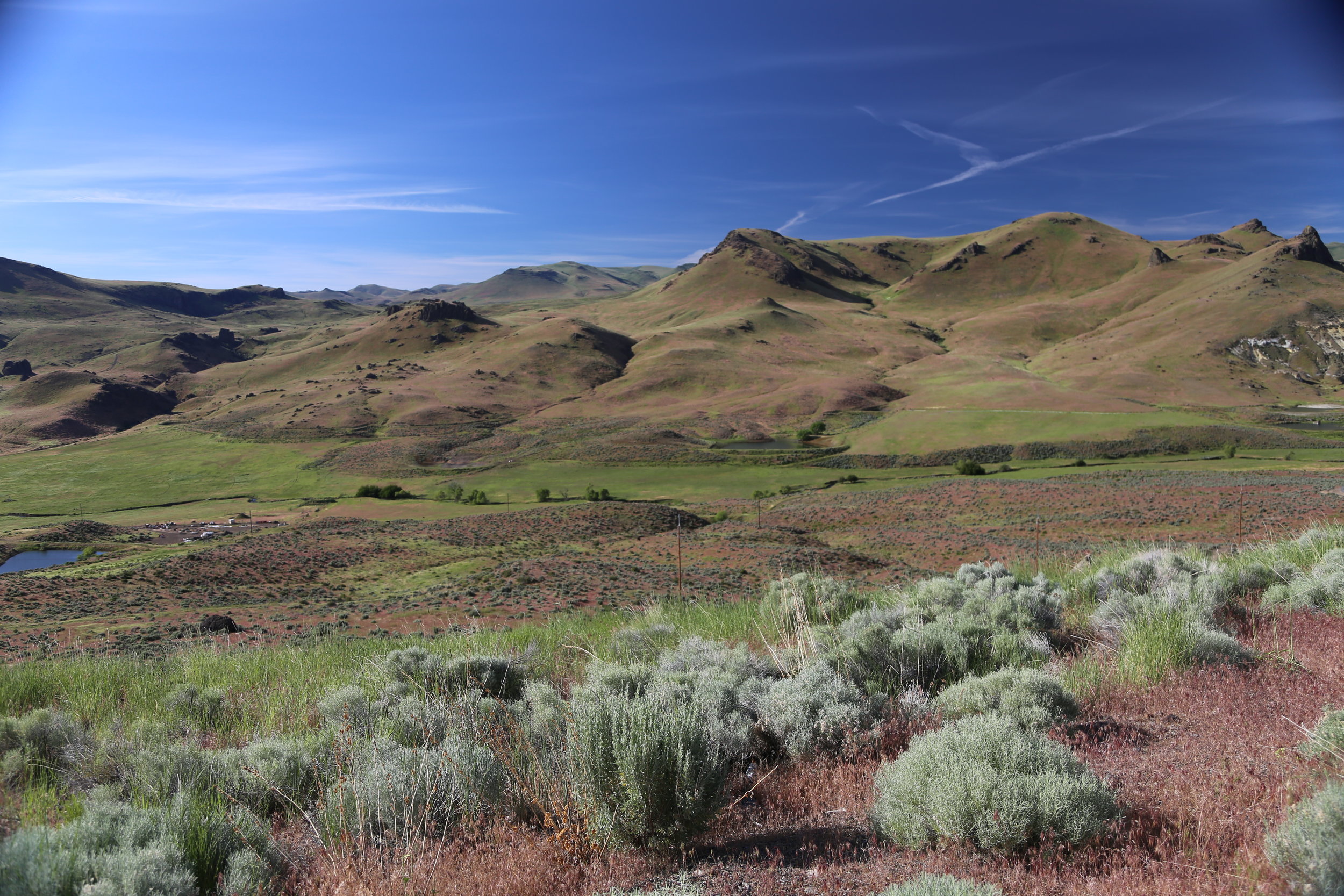
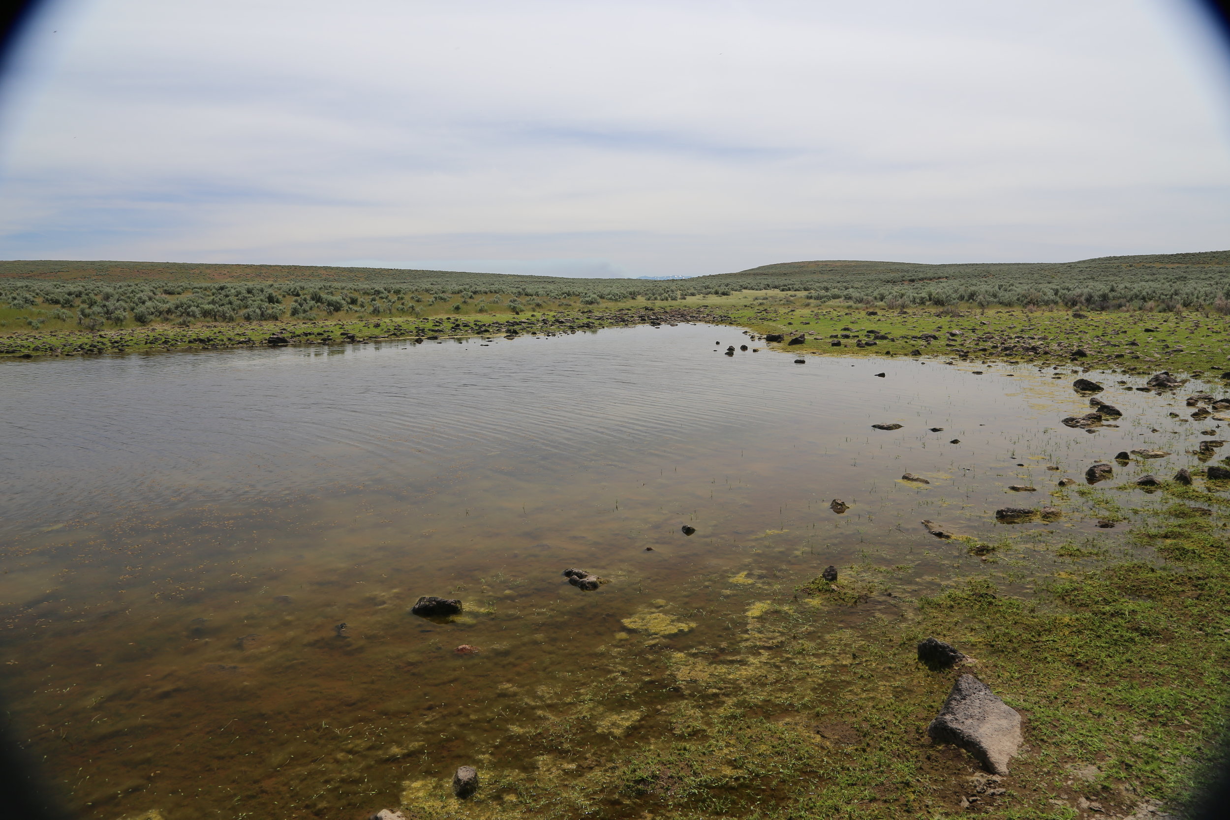
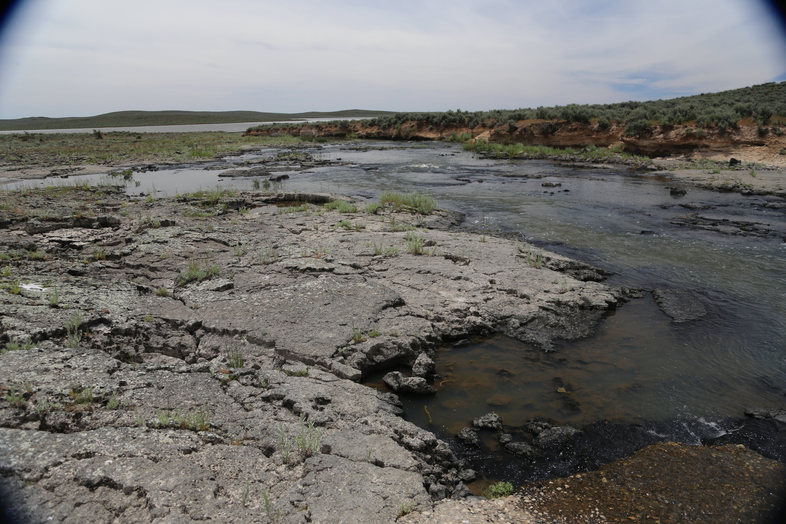
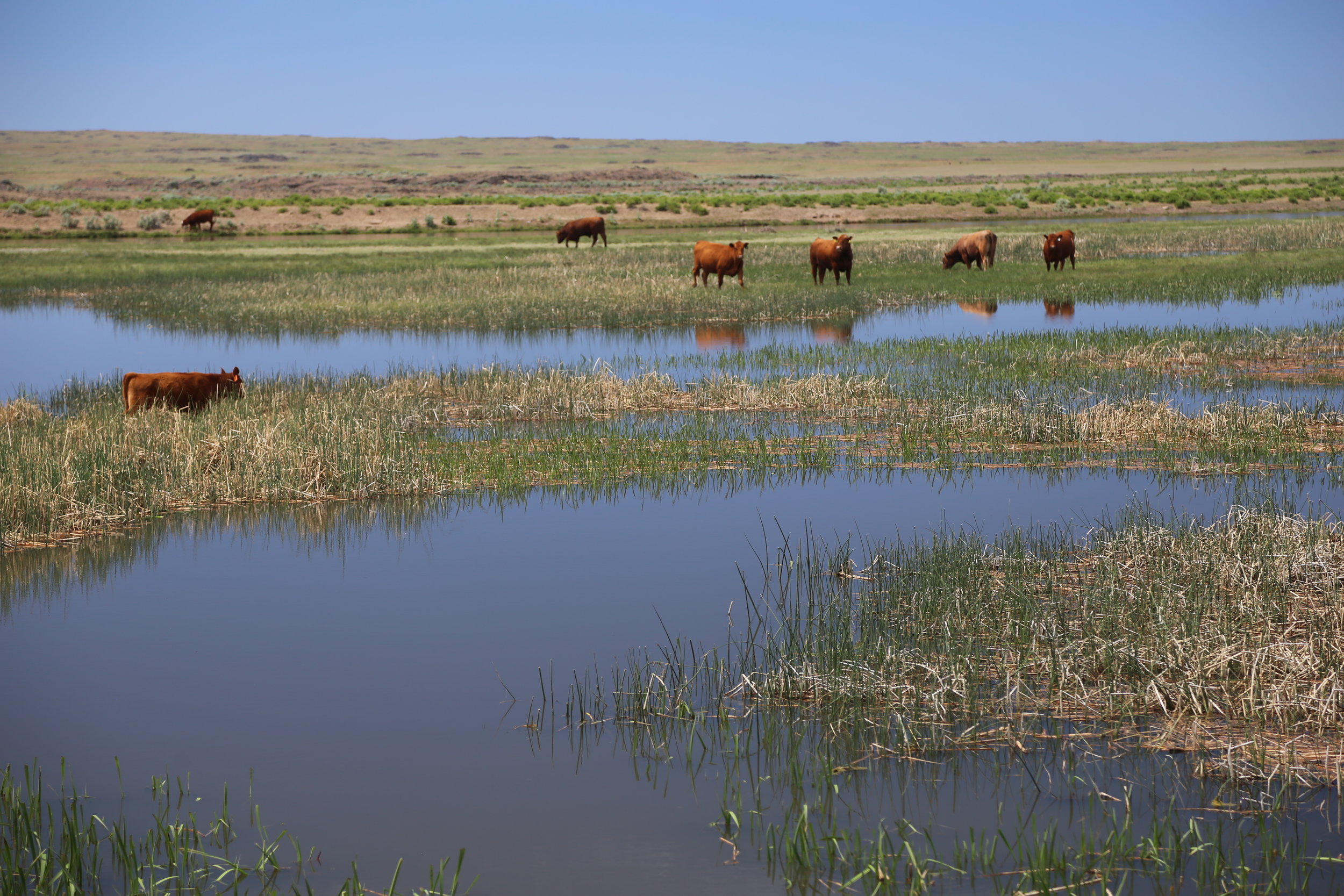
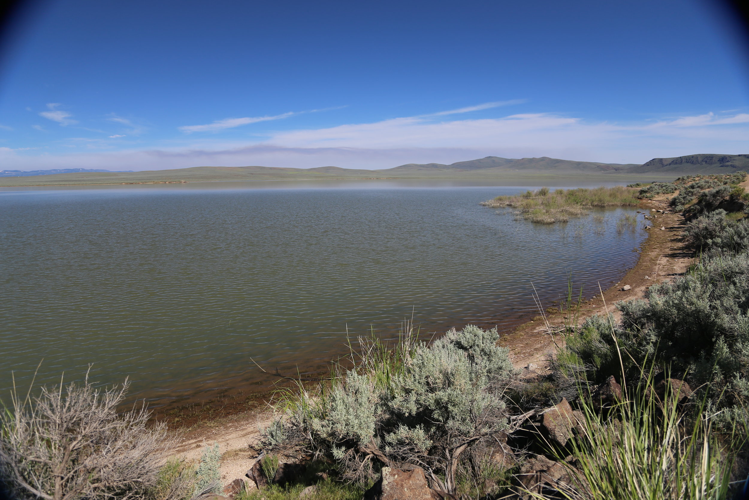
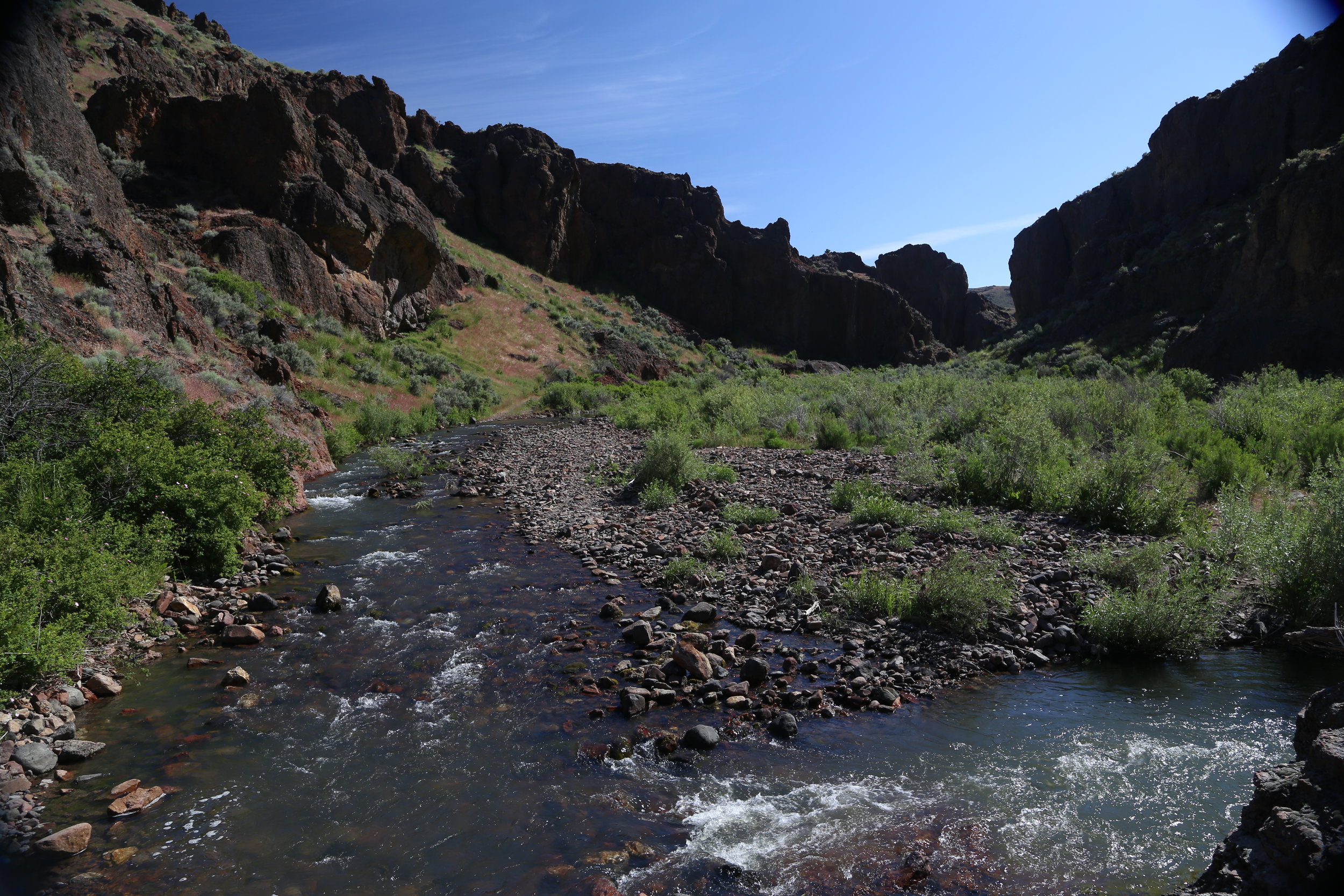
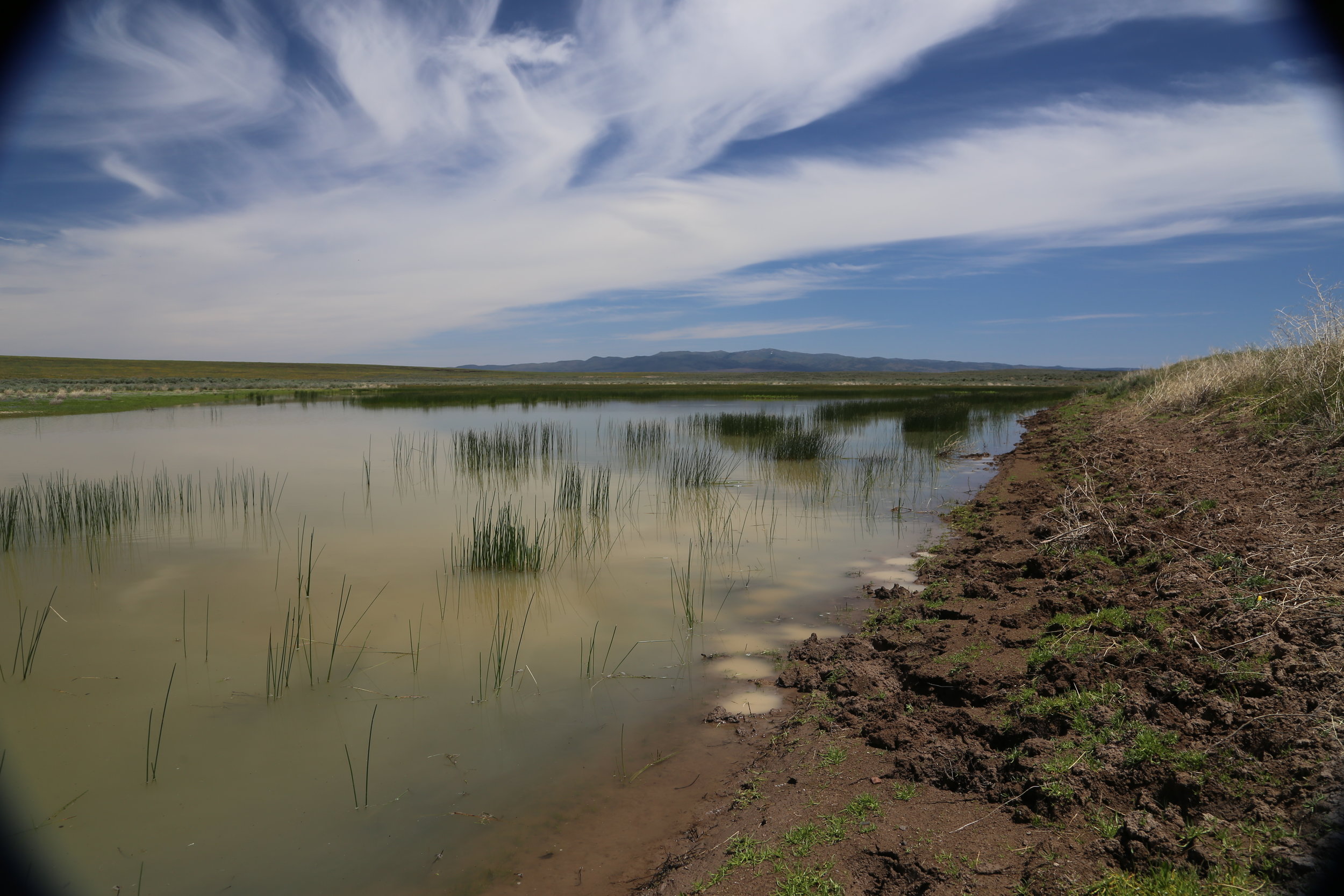
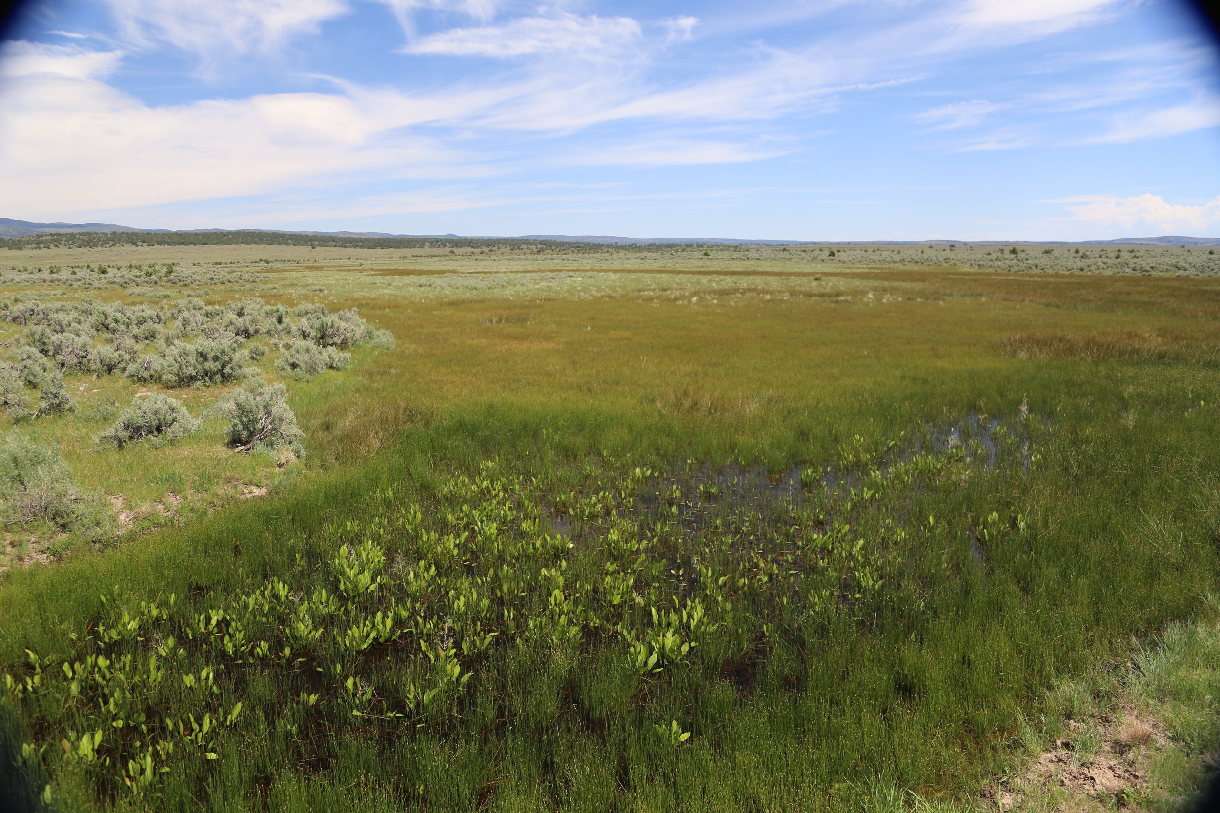
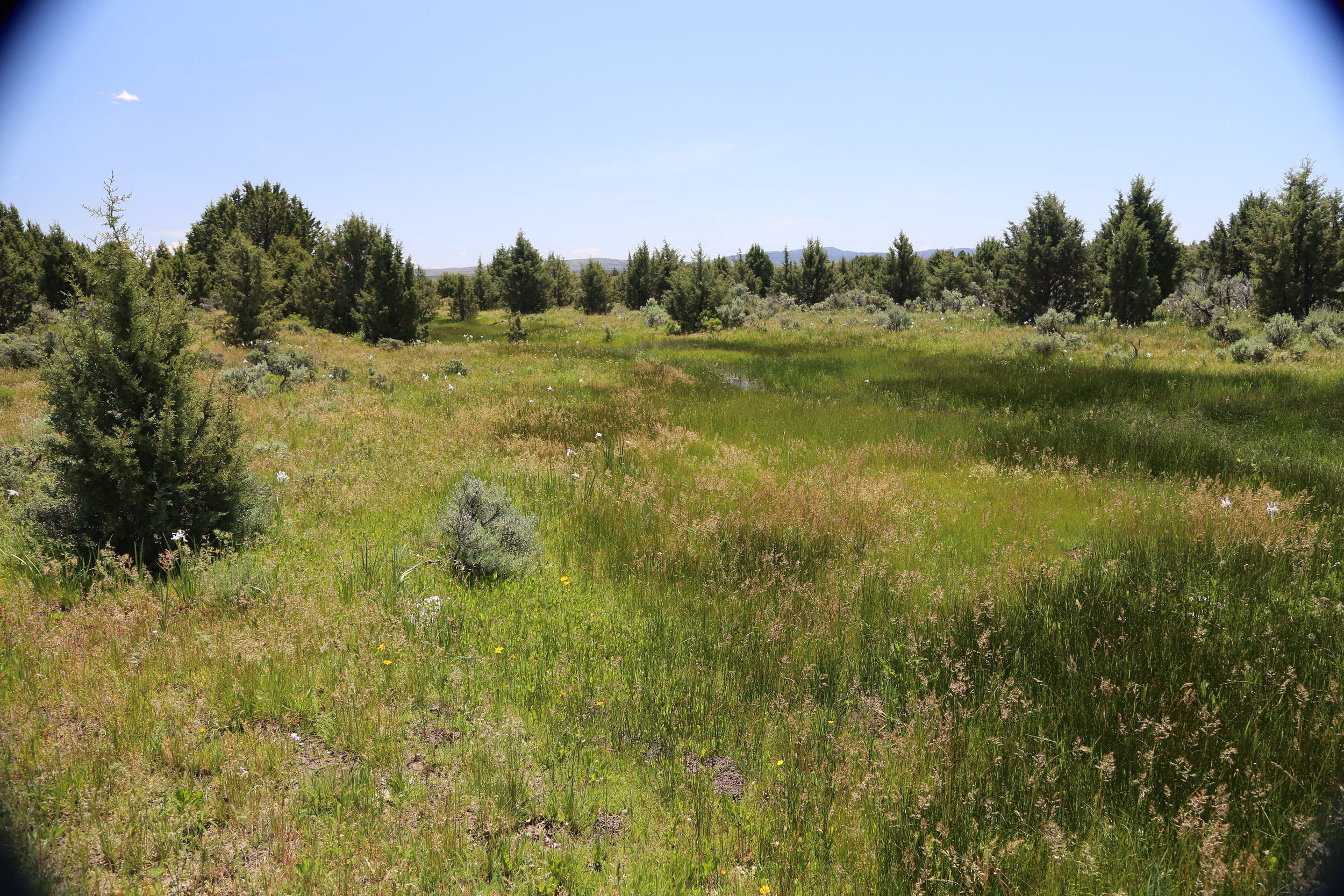
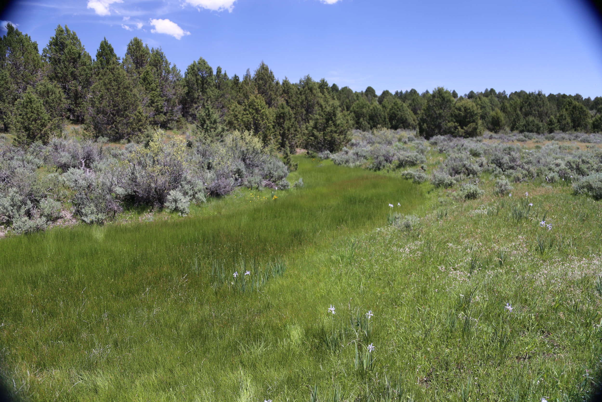
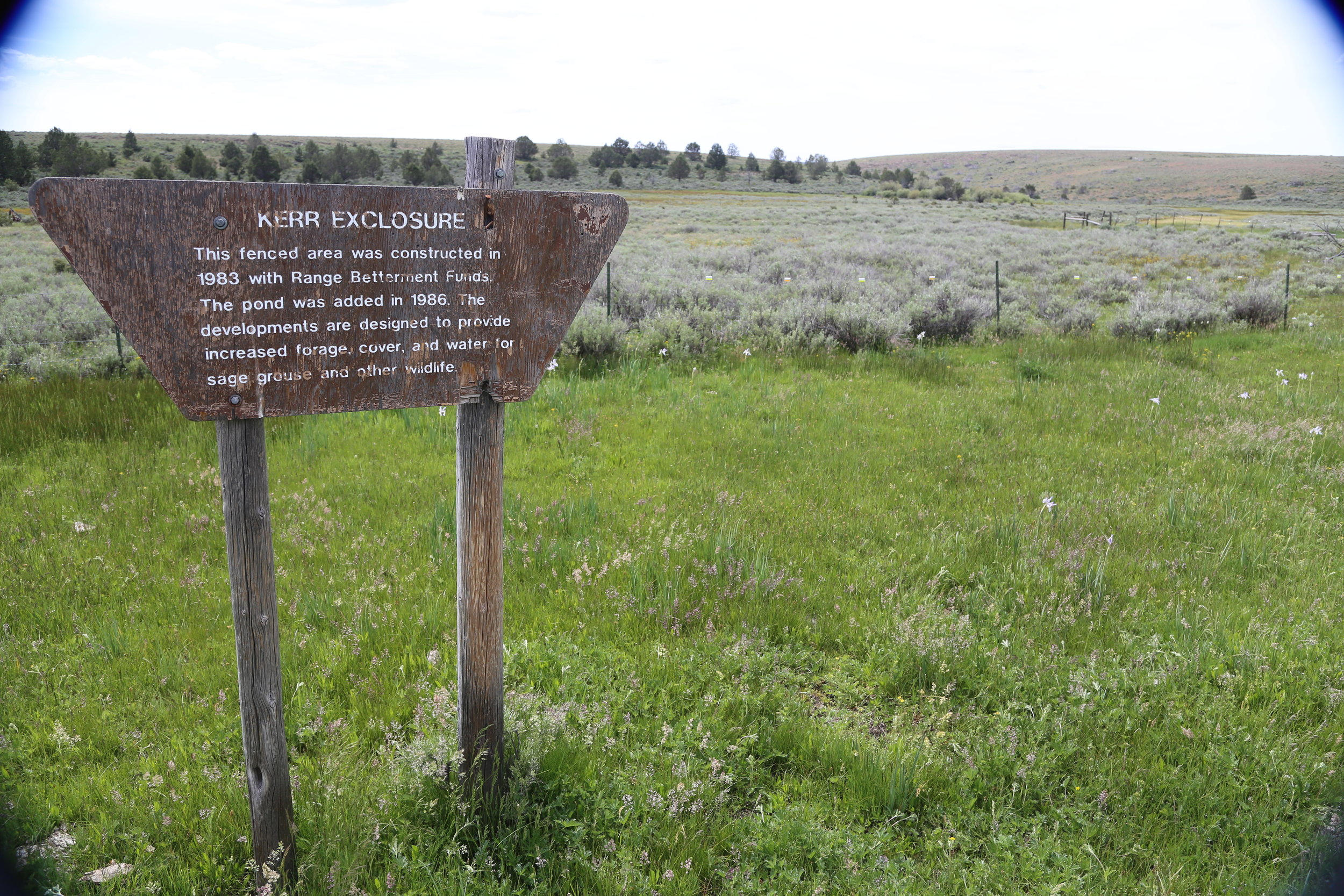
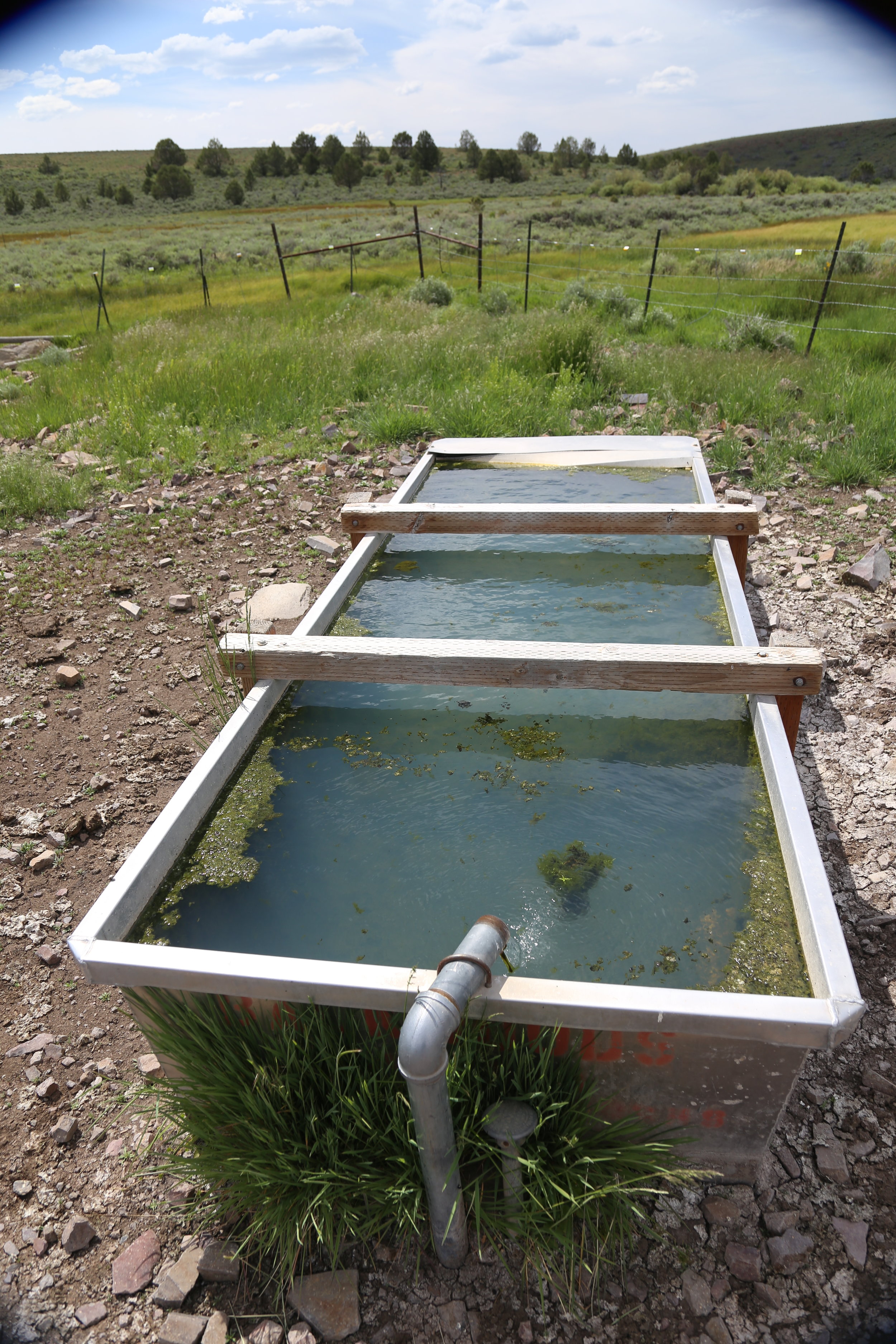
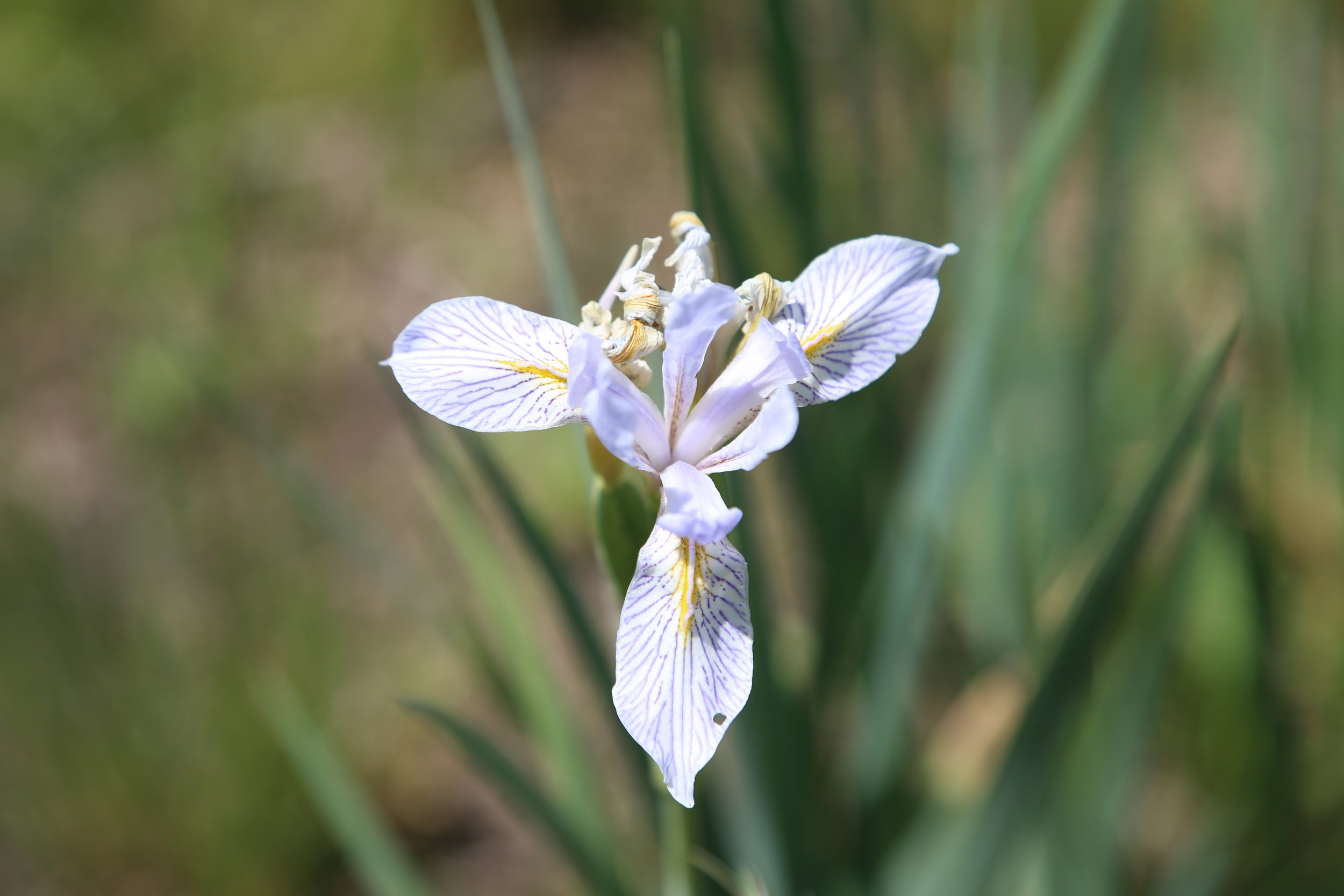
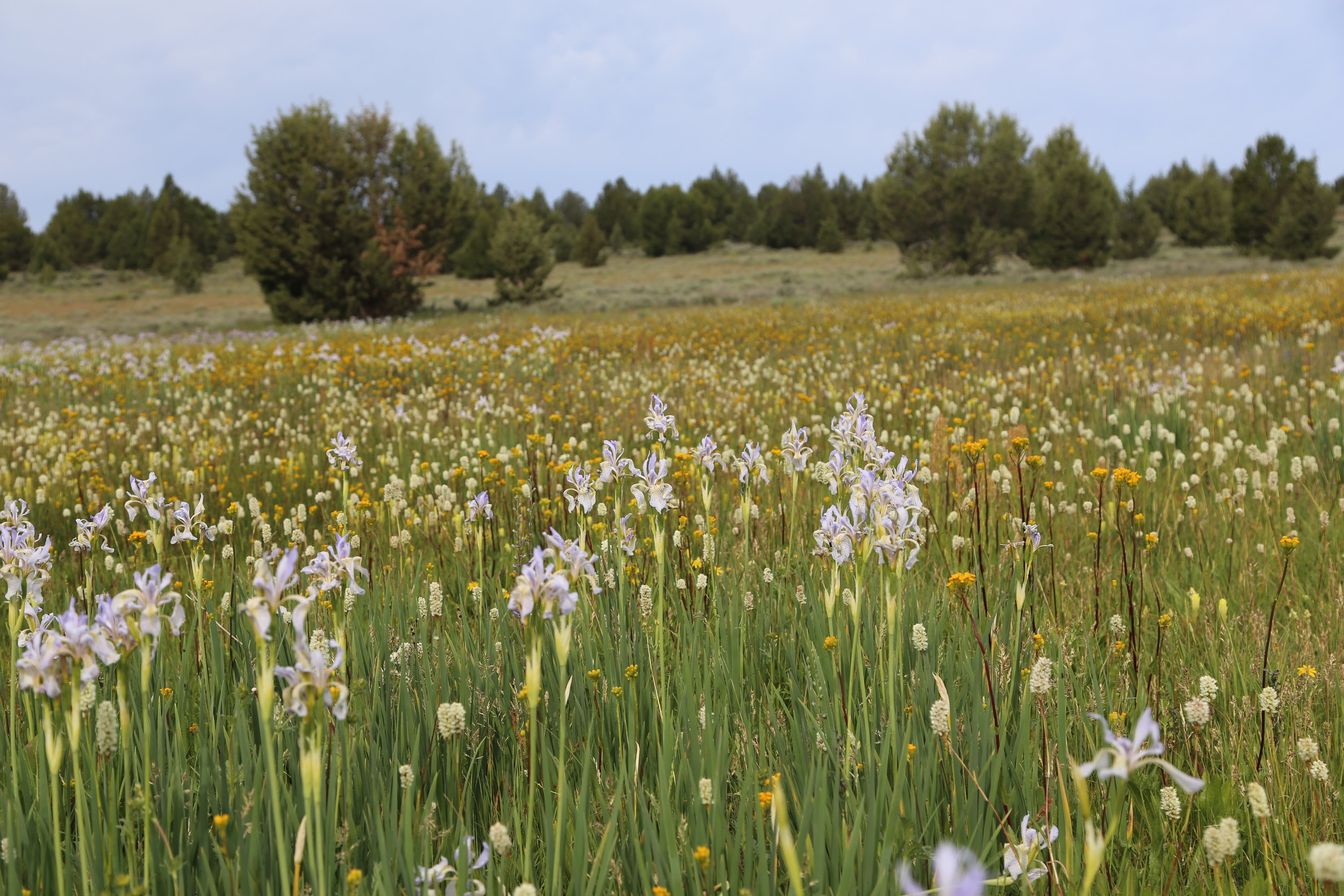
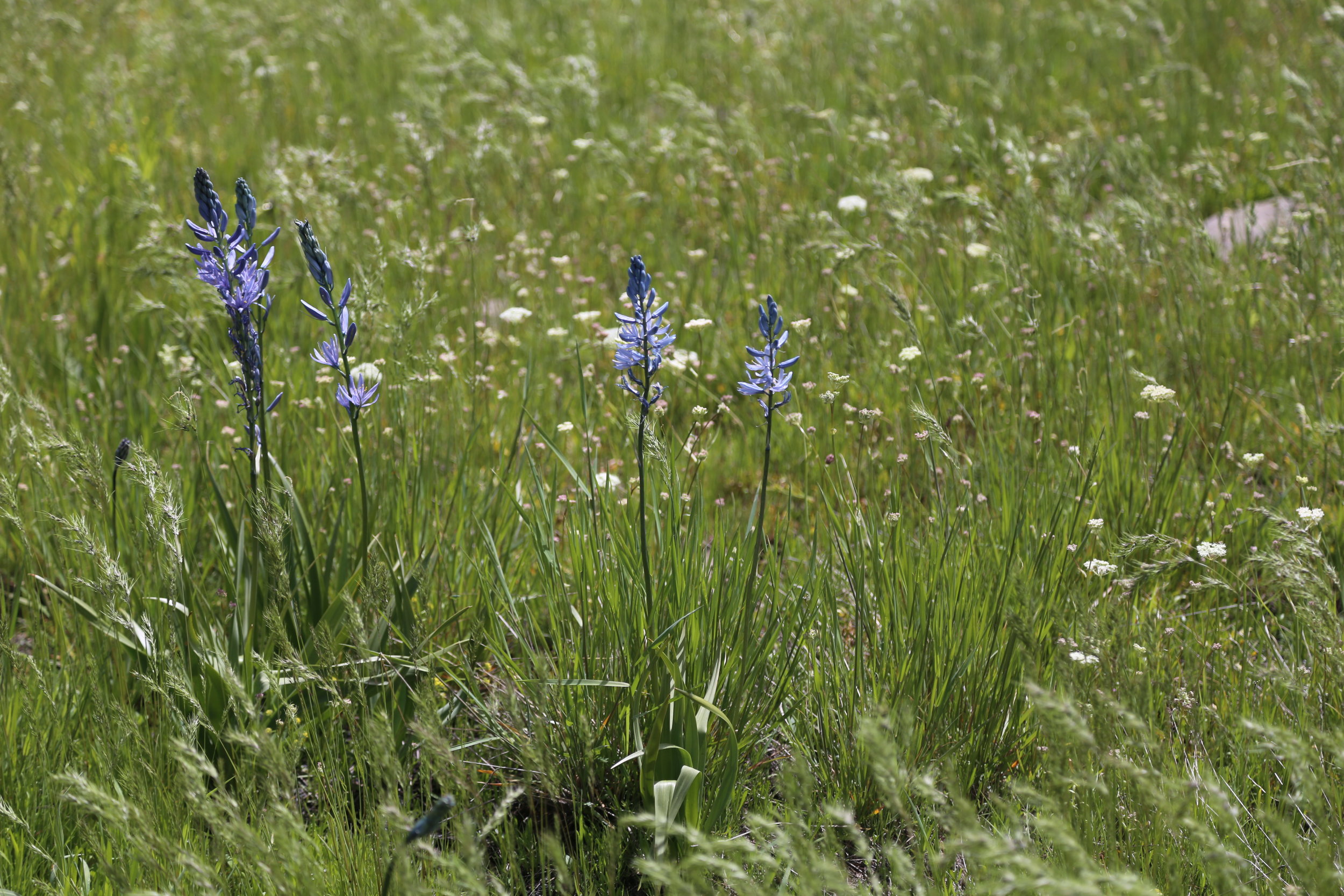
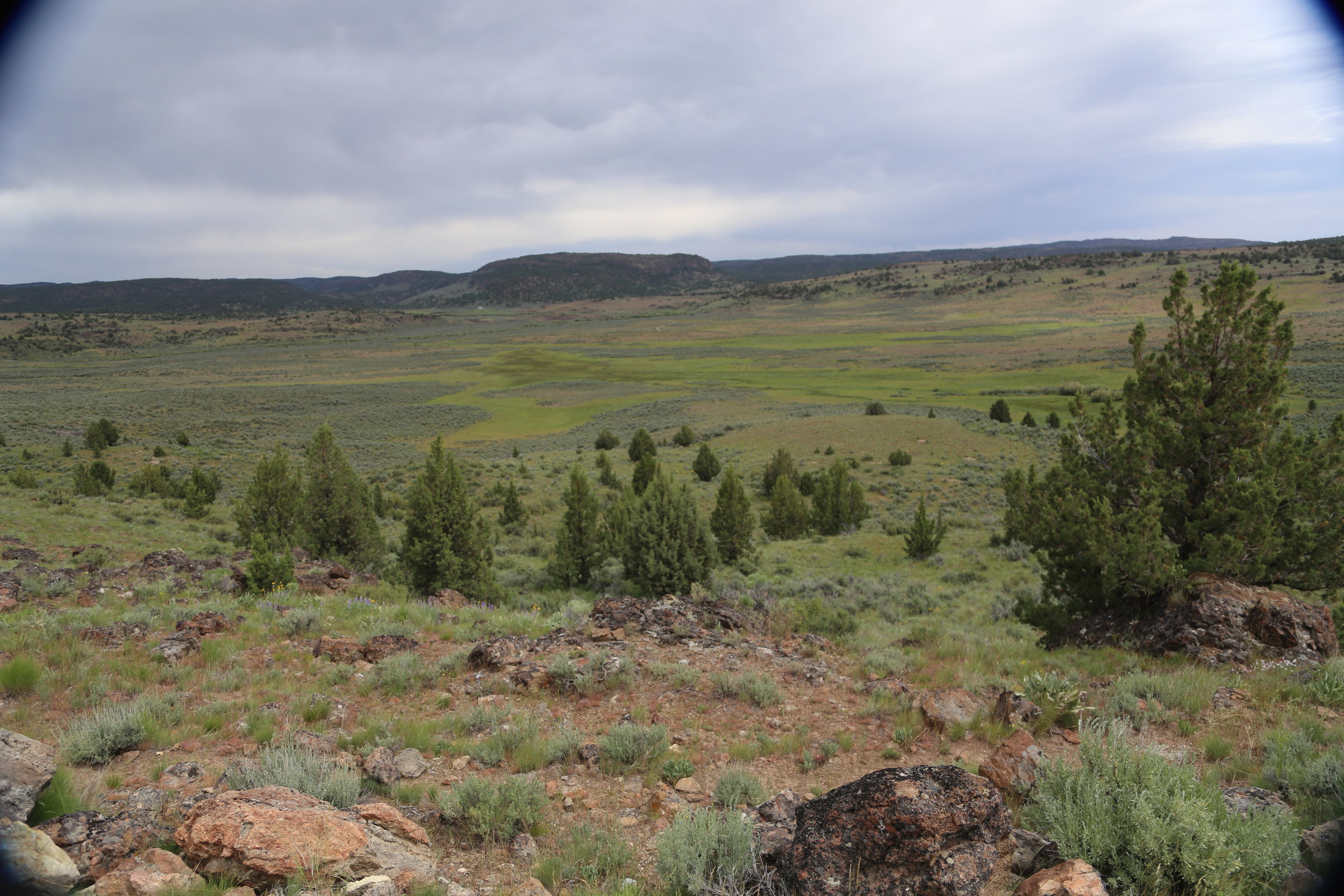
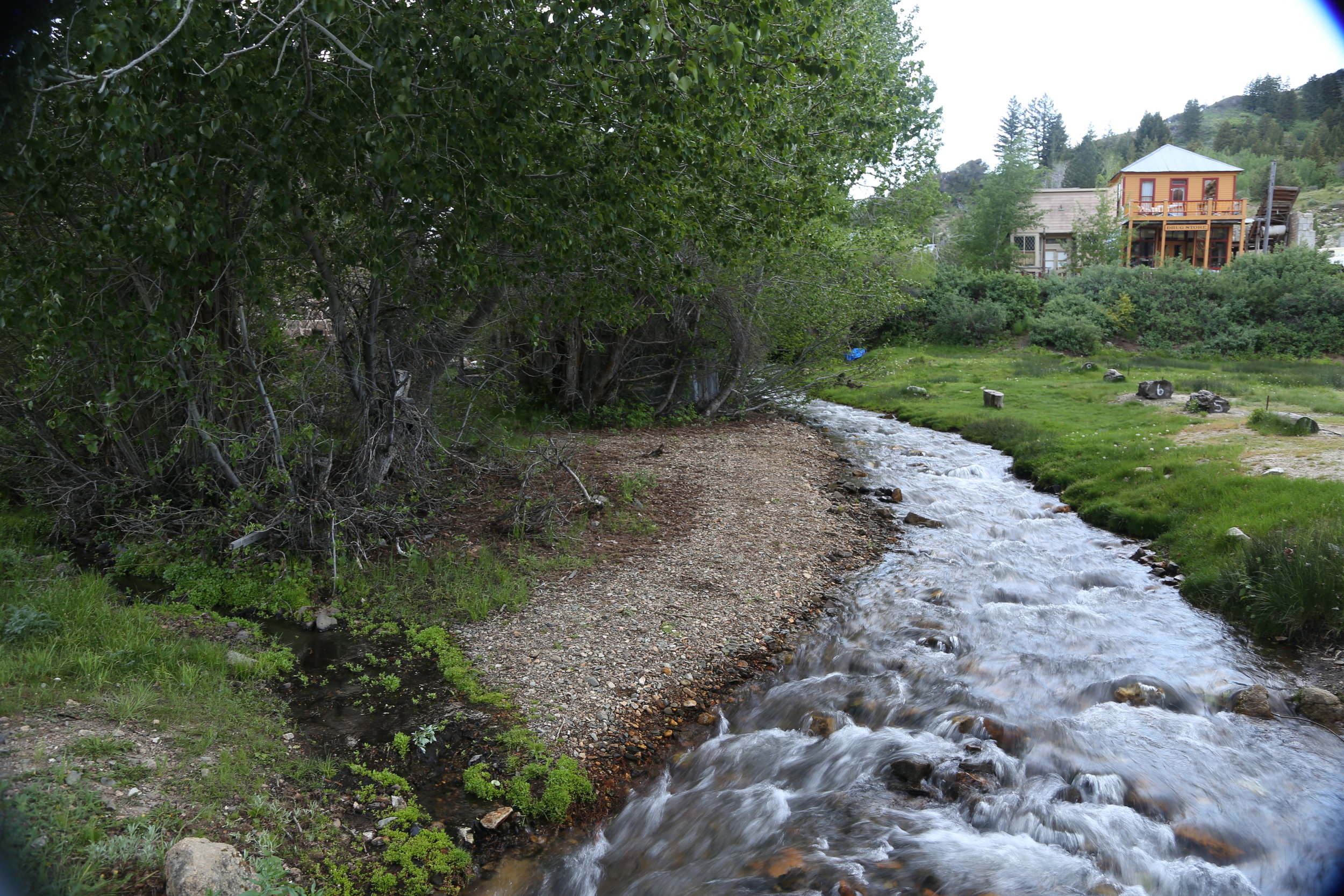
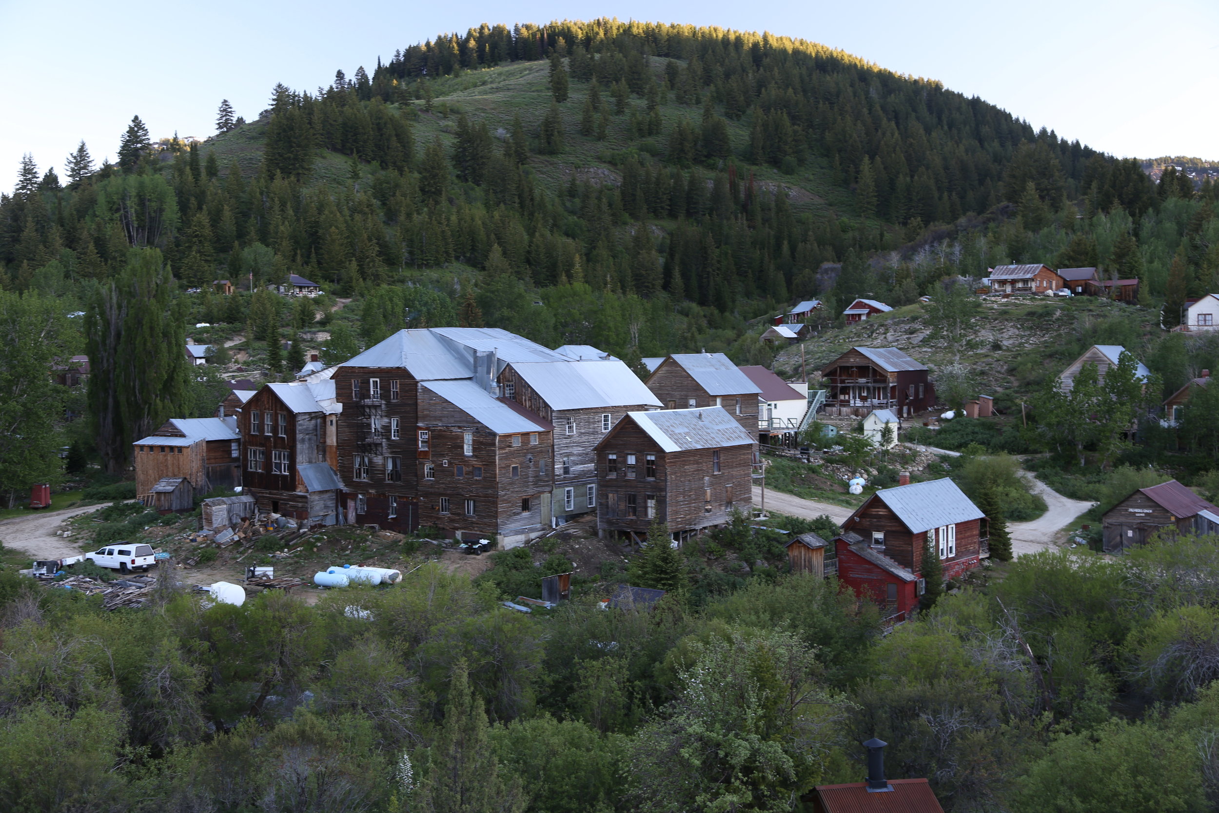
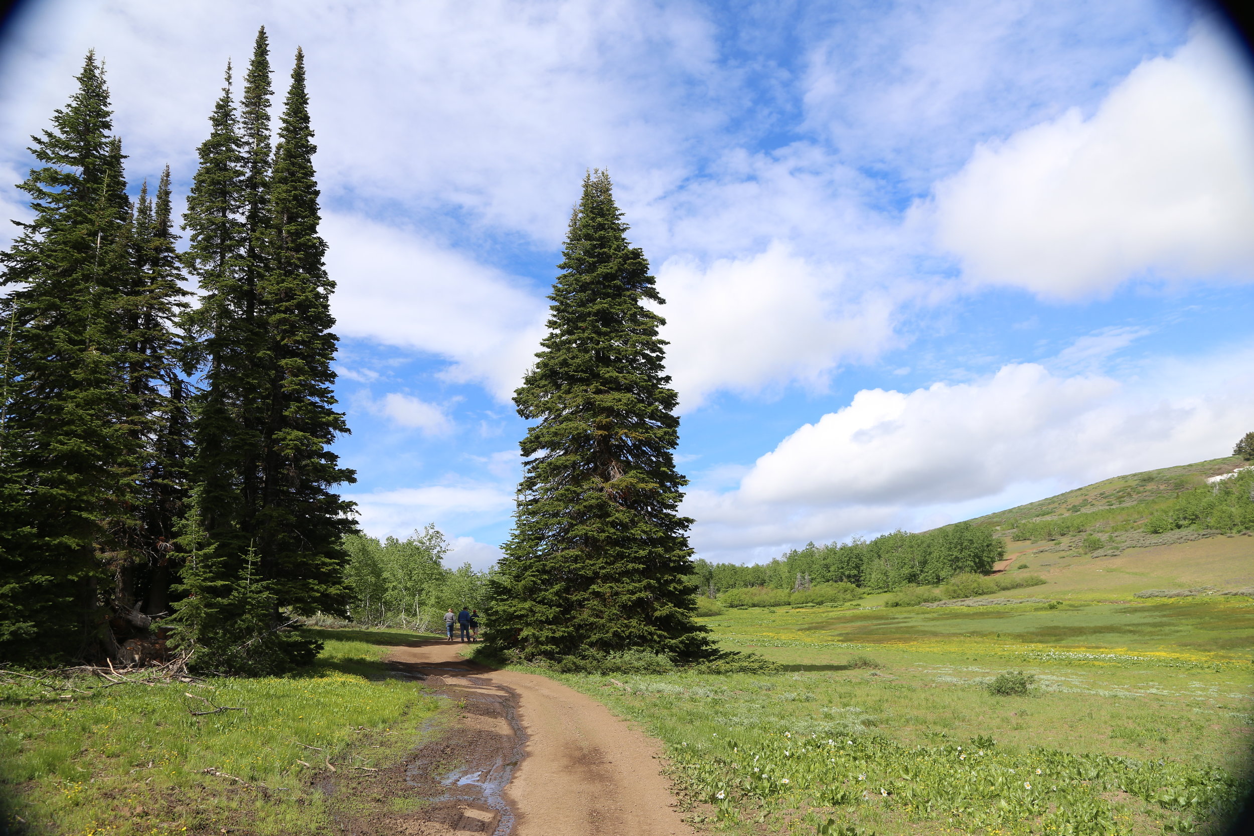
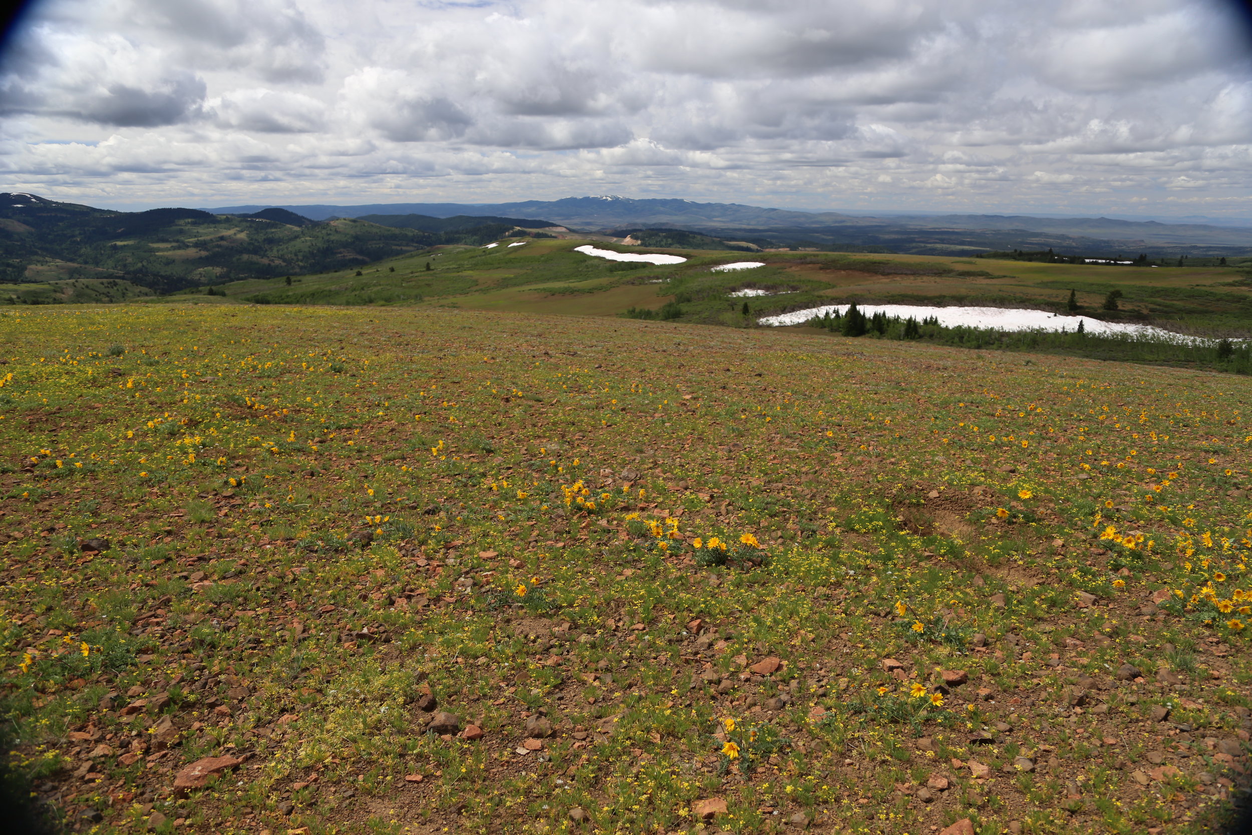
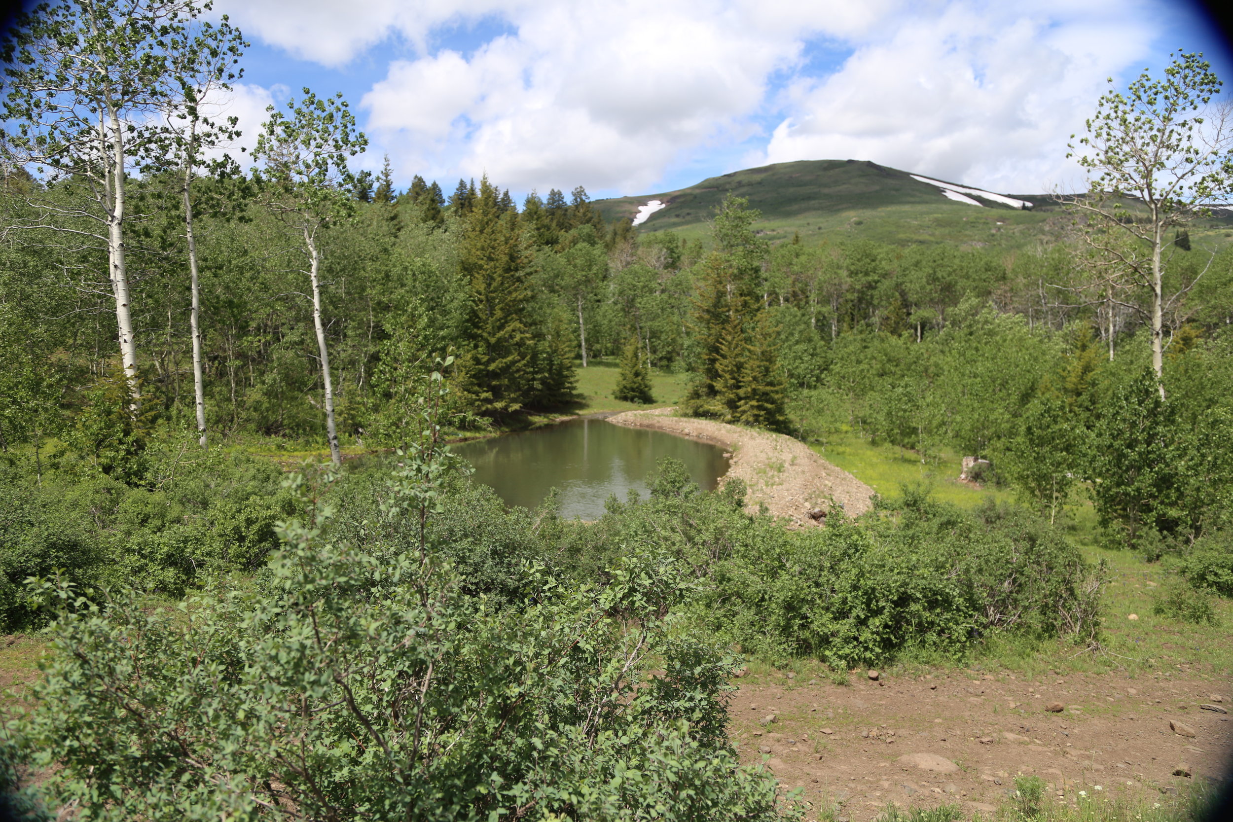
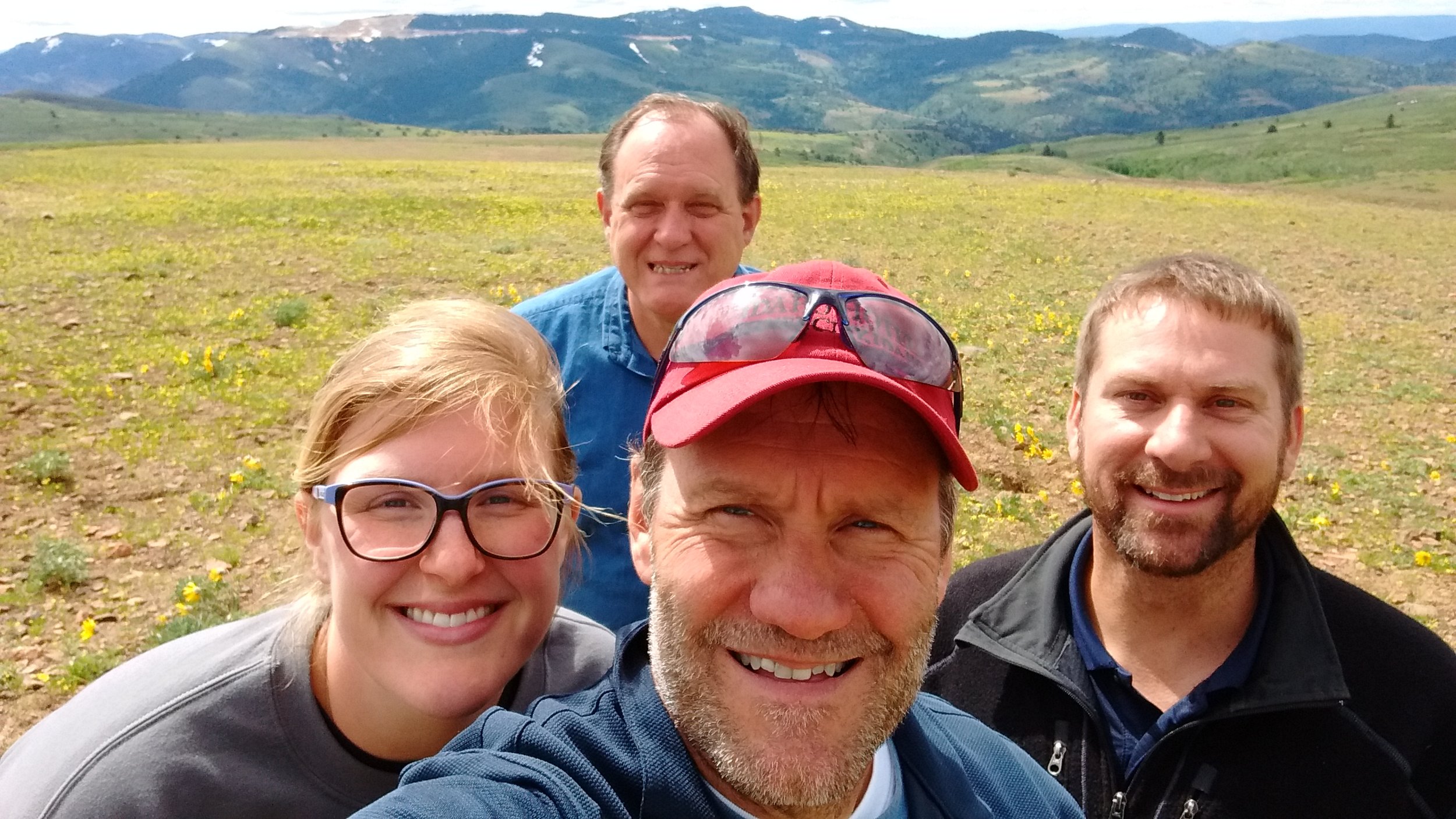
GSS staff members (Hannah Hutchins, Andy Robertson, John Anderson, and Kevin Stark) spent a week (June 5 - June 9) doing pre-mapping fieldwork for the Bureau of Land Management Wetland and Riparian Area Mapping and Assessment Project. The crew traveled approximately 2,000 miles across high plains and rugged mountain terrain. Over 150 different wetland sites were visited making it a priority to document the present plant species; how water is moving through and sitting in the wetland landscape; and what, if any, surrounding land use practices are potentially affecting the wetland feature at hand.
With the pre-mapping fieldwork complete, GSS will begin remotely mapping the ~3.5 million acre study area (100 USGS quads). Once mapping and classifying these arid west wetlands is complete, a wetland functional assessment will be performed to determine the water quality and habitat functions the wetlands can provide to the surrounding ecosystem.
