Northwest Minnesota NWI Update: Spring 2017 Fieldwork
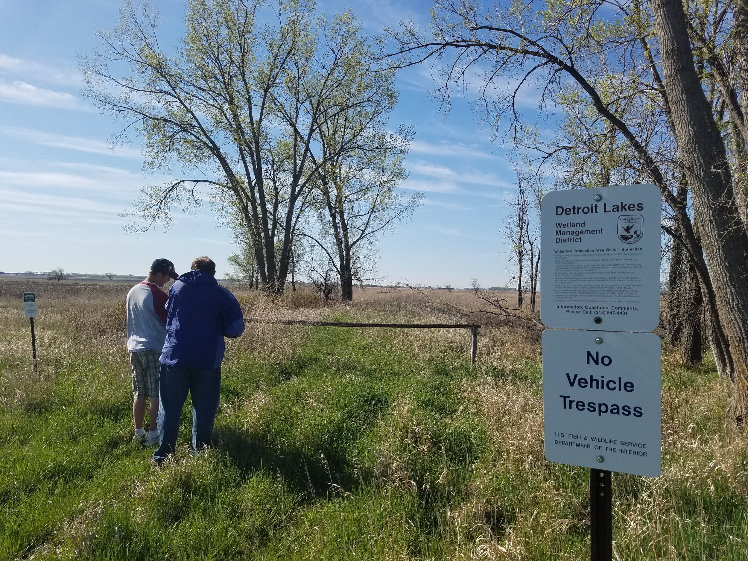
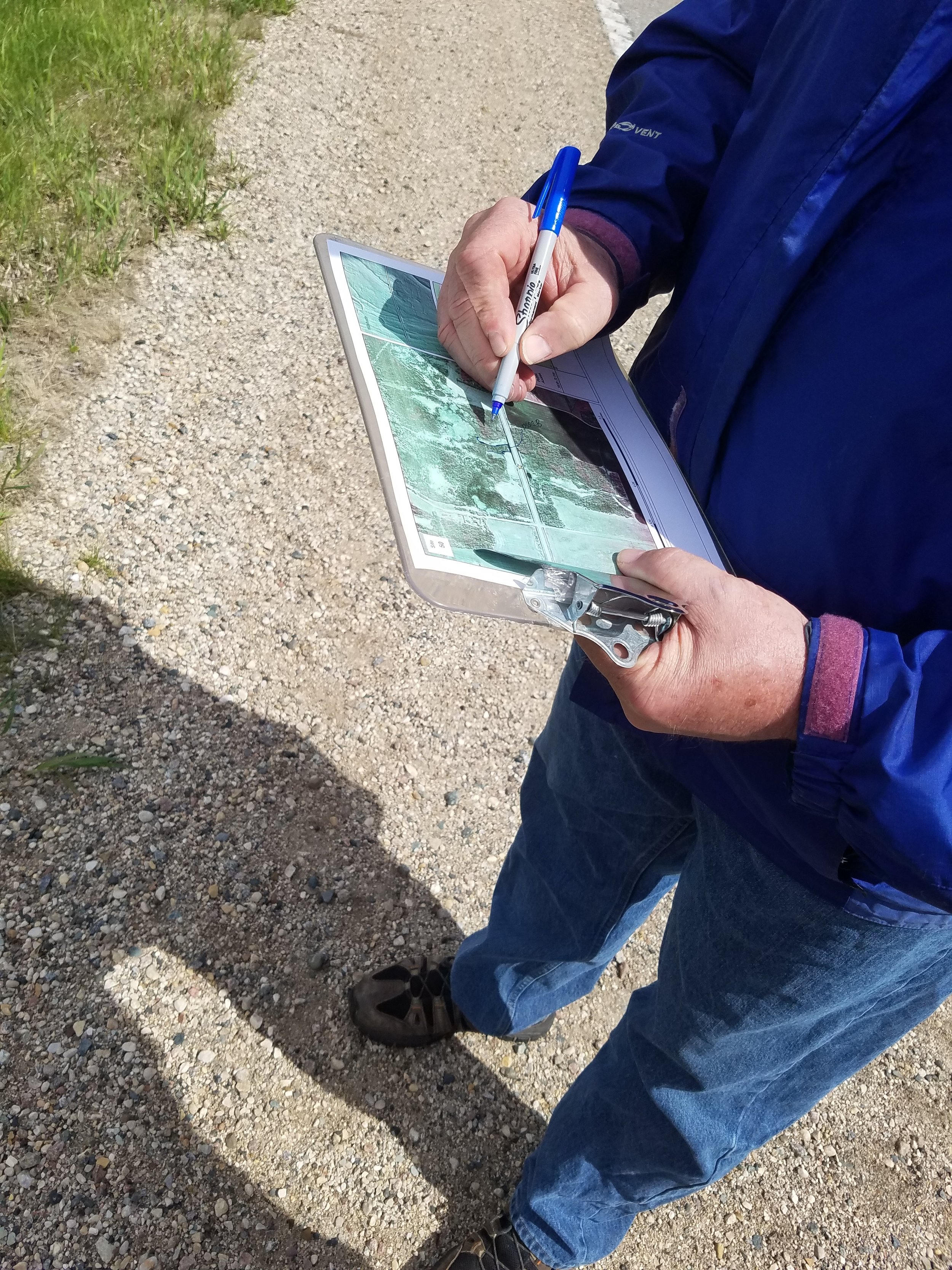
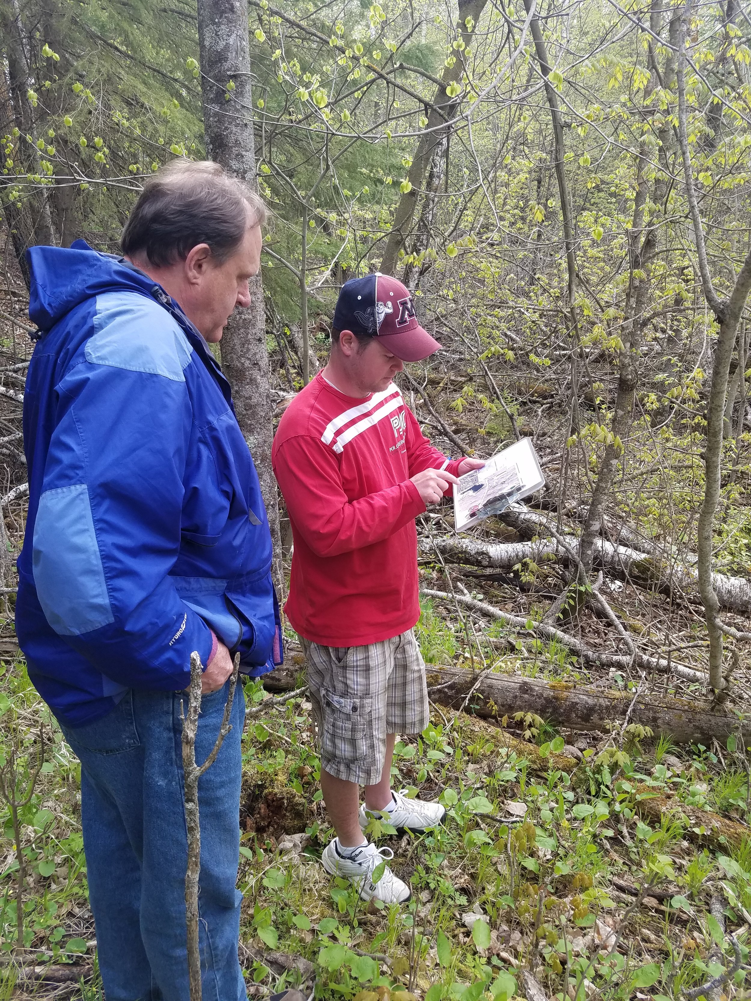
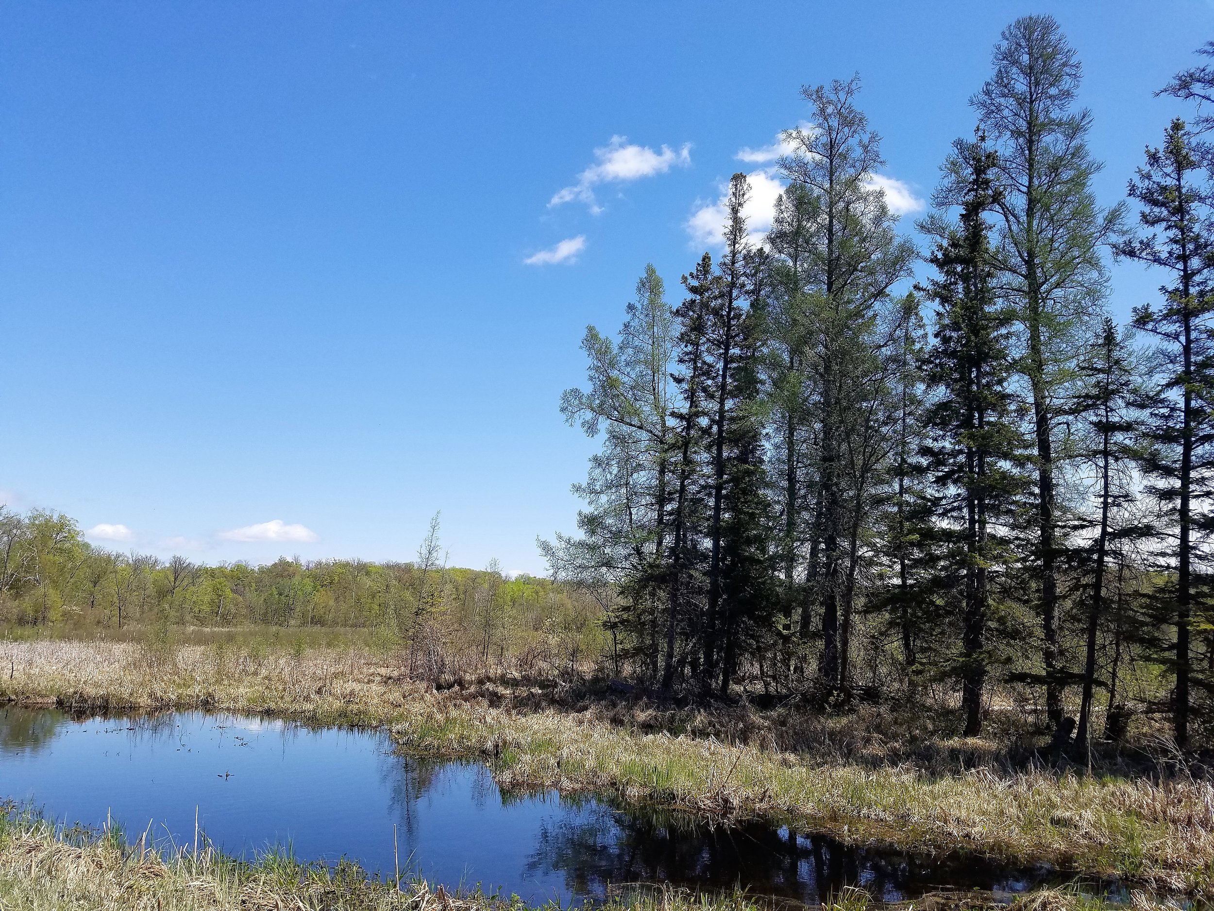
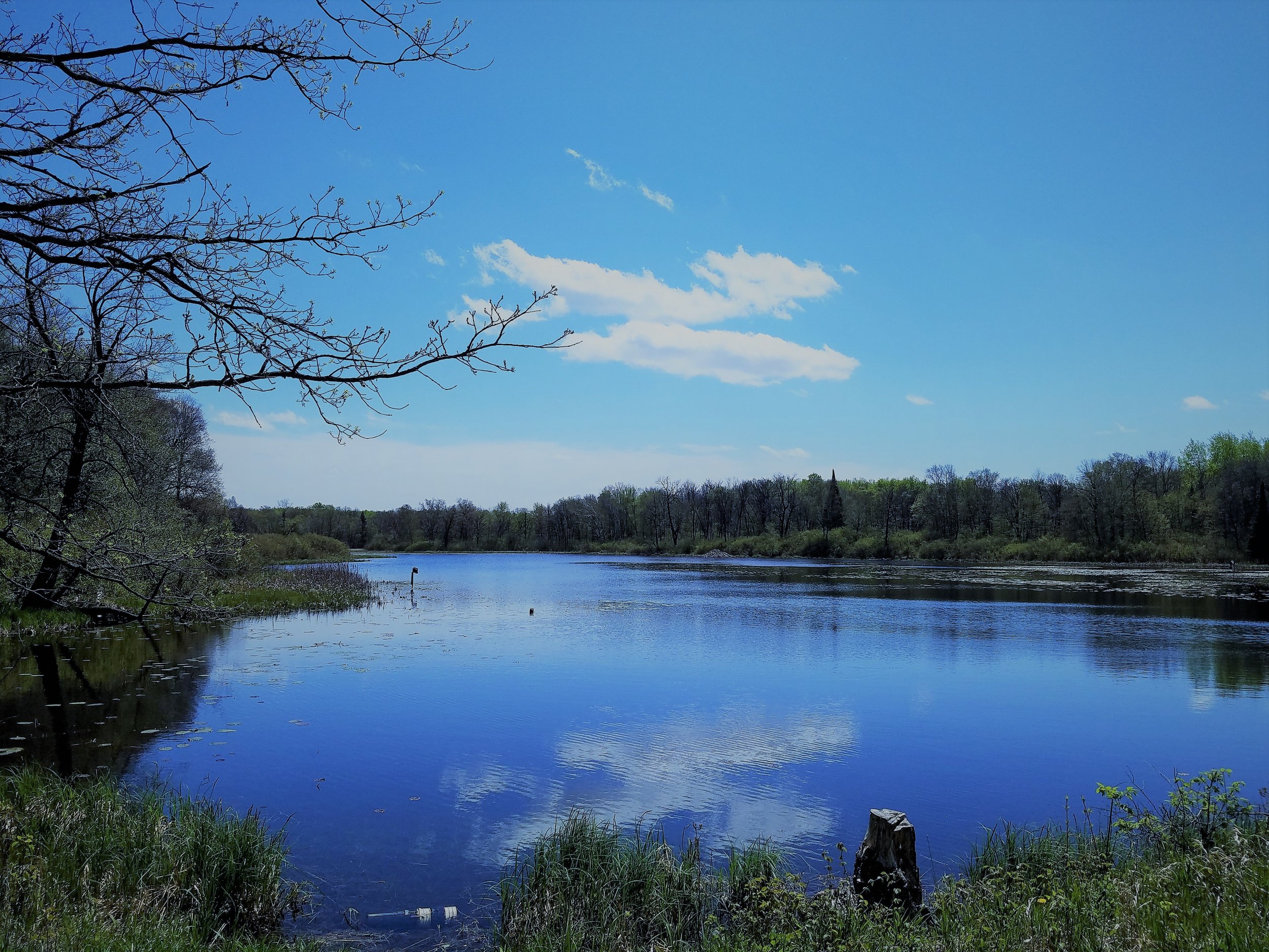
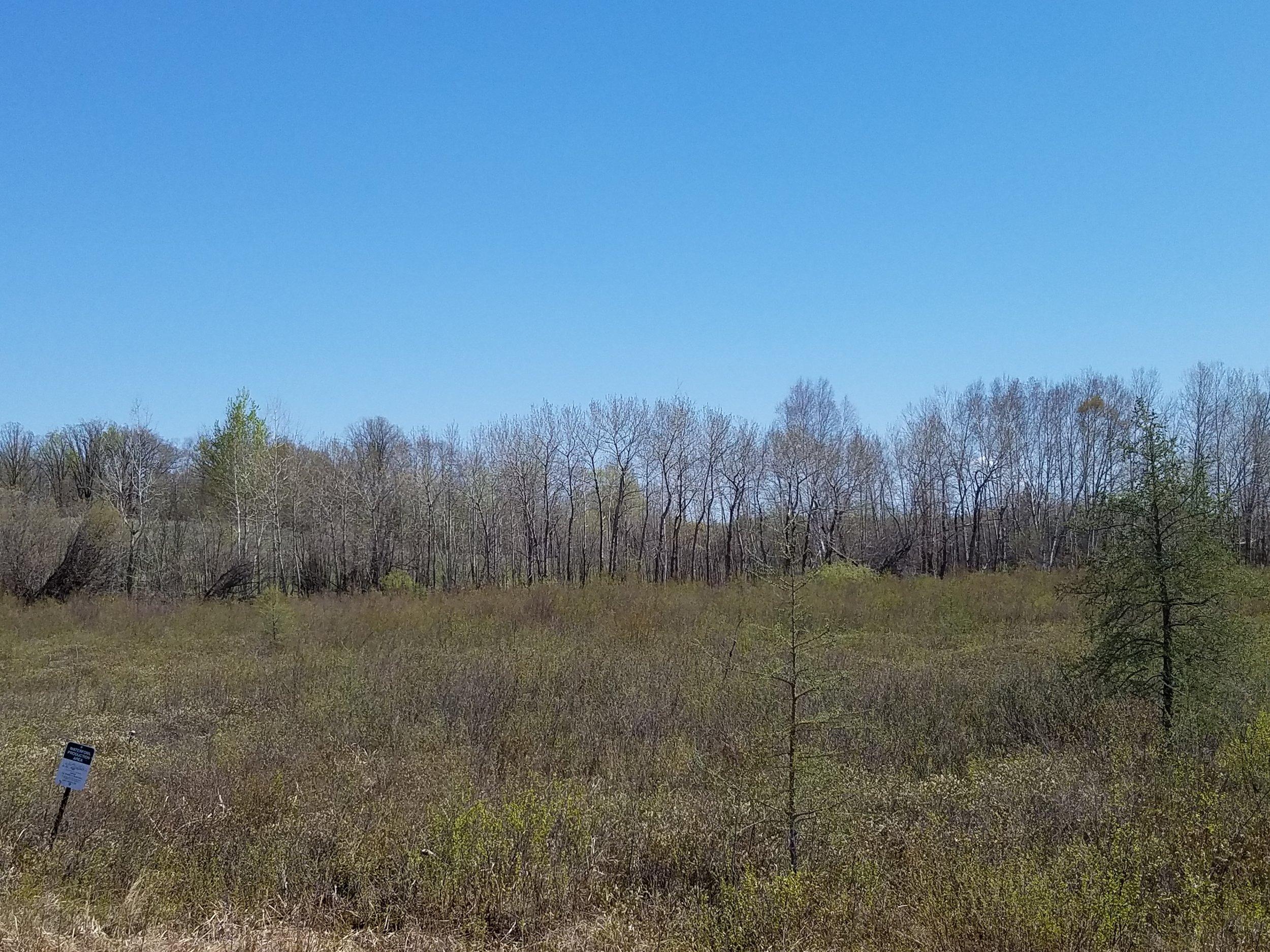
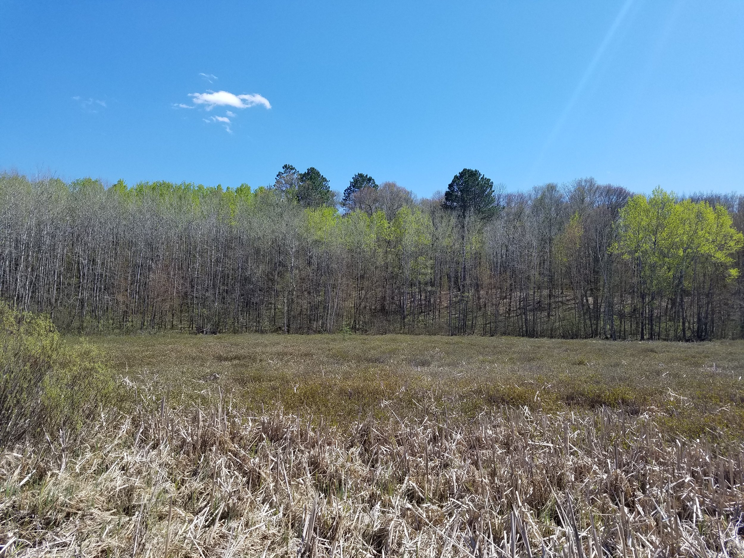
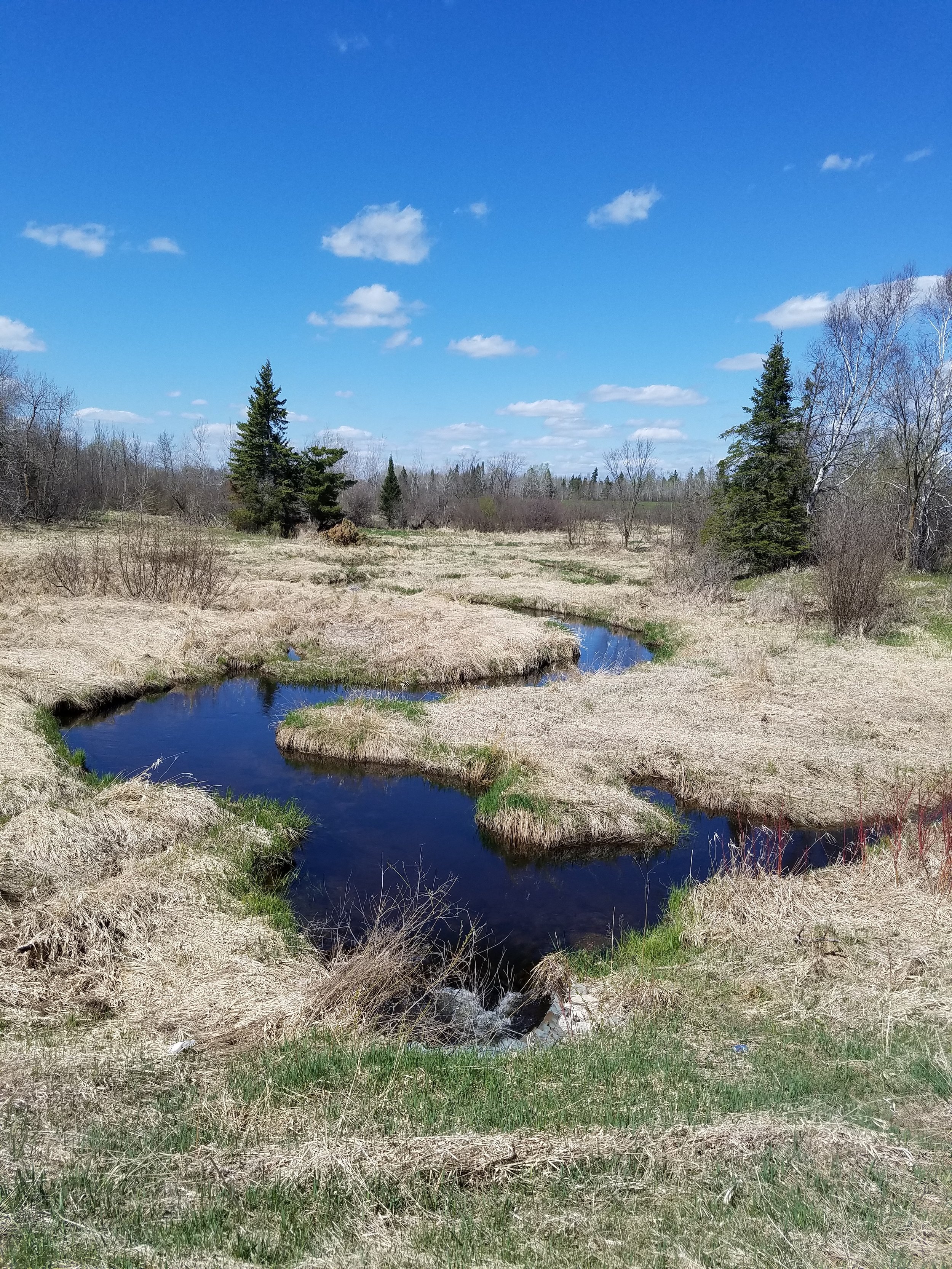
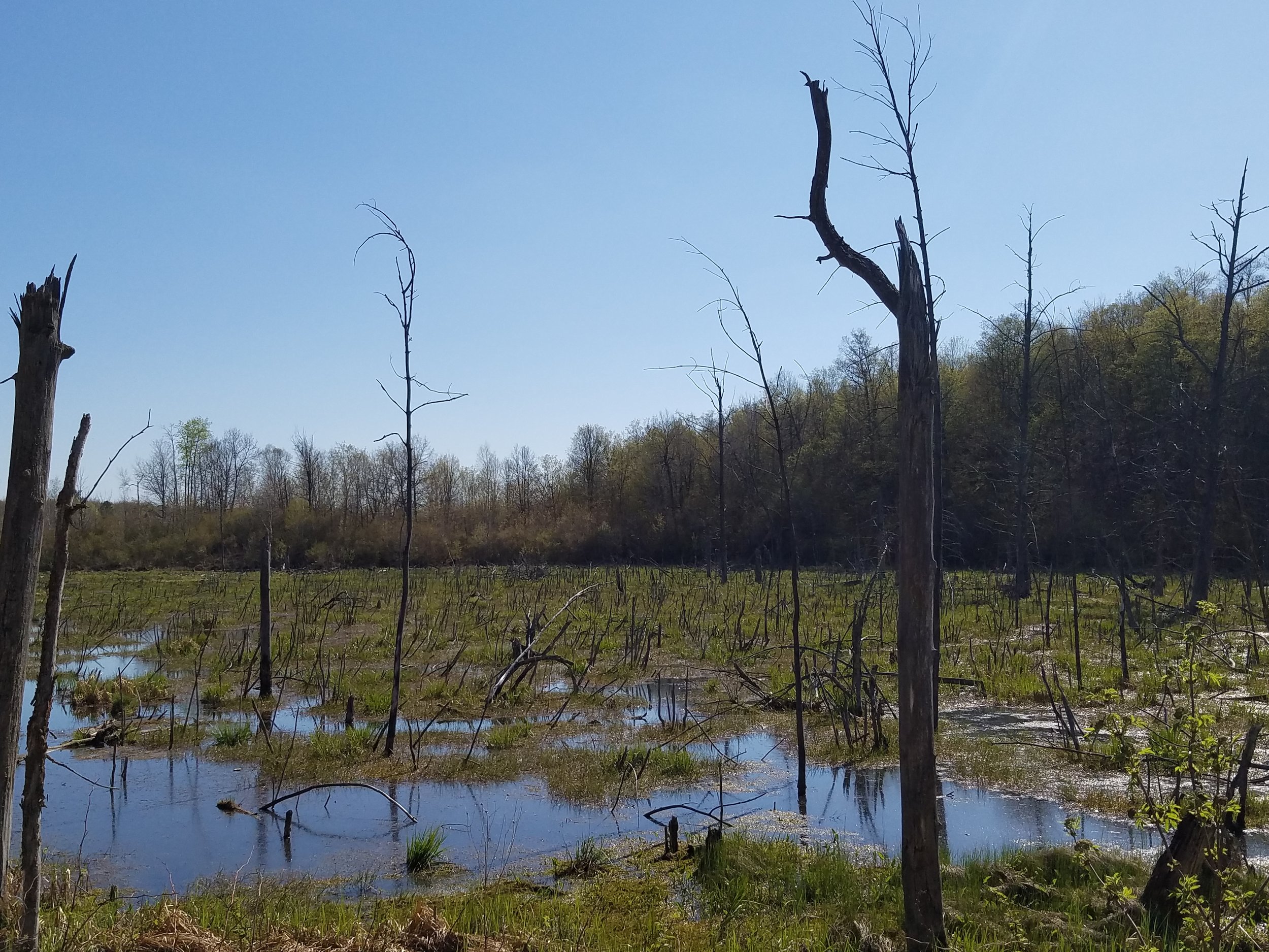
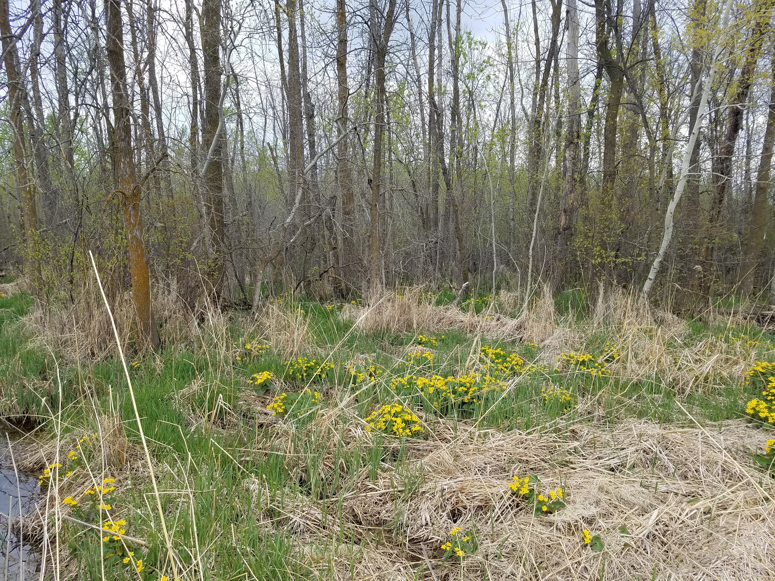
From May 7th through the 12th, GSS staff members of the Northwest MN NWI Update team headed up to the north country for another fieldwork trip. Eric Lindquist, Nick Lemcke, and John Anderson traveled around the project area summarizing characteristics of wetlands, investigating typical and atypical imagery signatures, and validating completed wetland data.
The Northwest MN project area covers the following 19 counties: Becker, Clay, Clearwater, Douglas, Grant, Kittson, Lake of the Woods, Mahnomen, Marshall, Norman, Otter Tail, Pennington, Polk, Pope, Red Lake, Roseau, Stevens, Traverse, and Wilkin. The NWI update started in fall 2016 and is scheduled to be completed in Fall 2018. This project will result in an update of 25 to 30-year-old wetland data and be integrated into the nation-wide NWI database, which is managed by the U.S. Fish and Wildlife Service (USFWS). NWI data can be viewed on the USFWS National Mapper; wetland data updated by GSS can be found here.
