

NEWS
GSS Spotlight!
PRERNA KAPOOR
What is your education and professional background?

I am from India and graduated in Economics from there before I shifted my base to Minnesota in 2016. At present I am enrolled in the MS program in Data Intelligence and Geo Analytics (DIGA) at Saint Mary's Twin Cities campus. In the past, I have worked as a freelance content writer for a leading student academic magazine and developed content on articles related to Macro-Economics , Environmental Sciences and Financial-Economics. It was a great learning experience for me but I was always inclined towards learning the analytics side of data and I was happy to find Geographic Information Sciences. I definitely plan to explore more opportunities with DIGA and spatial mapping knowledge.
What led you to GIS? More specifically, how did you get to Saint Mary's University of Minnesota (SMUMN)?
I always liked maps and enjoyed discovering new places with the help of maps. I had no idea that spatial data collection can be a field of study altogether and can offer such useful insights to planning and resource management. So, when I was hunting for data analytics courses around, I came across GIS program and was fascinated with the course structure. Hence, I decided to take the next step into it. This University was recommended by a friend and I am very happy with the decision, as the course structure is very well developed and instructors take personal interest in your learning. The class atmosphere is friendly and very interactive, which helps you push your own limits.
Explain briefly a project at GSS you've done that contributed to your overall knowledge and educational experience.
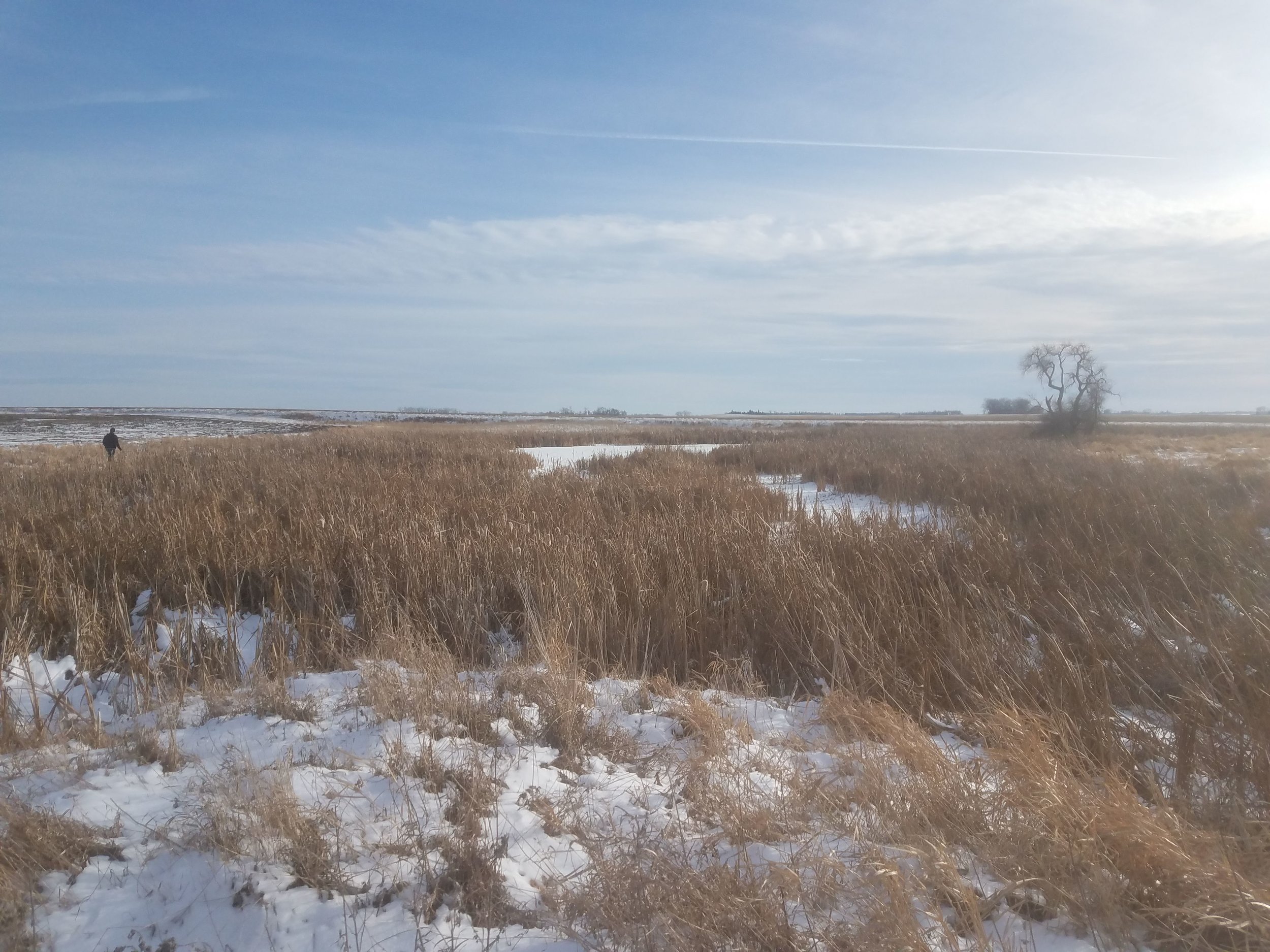
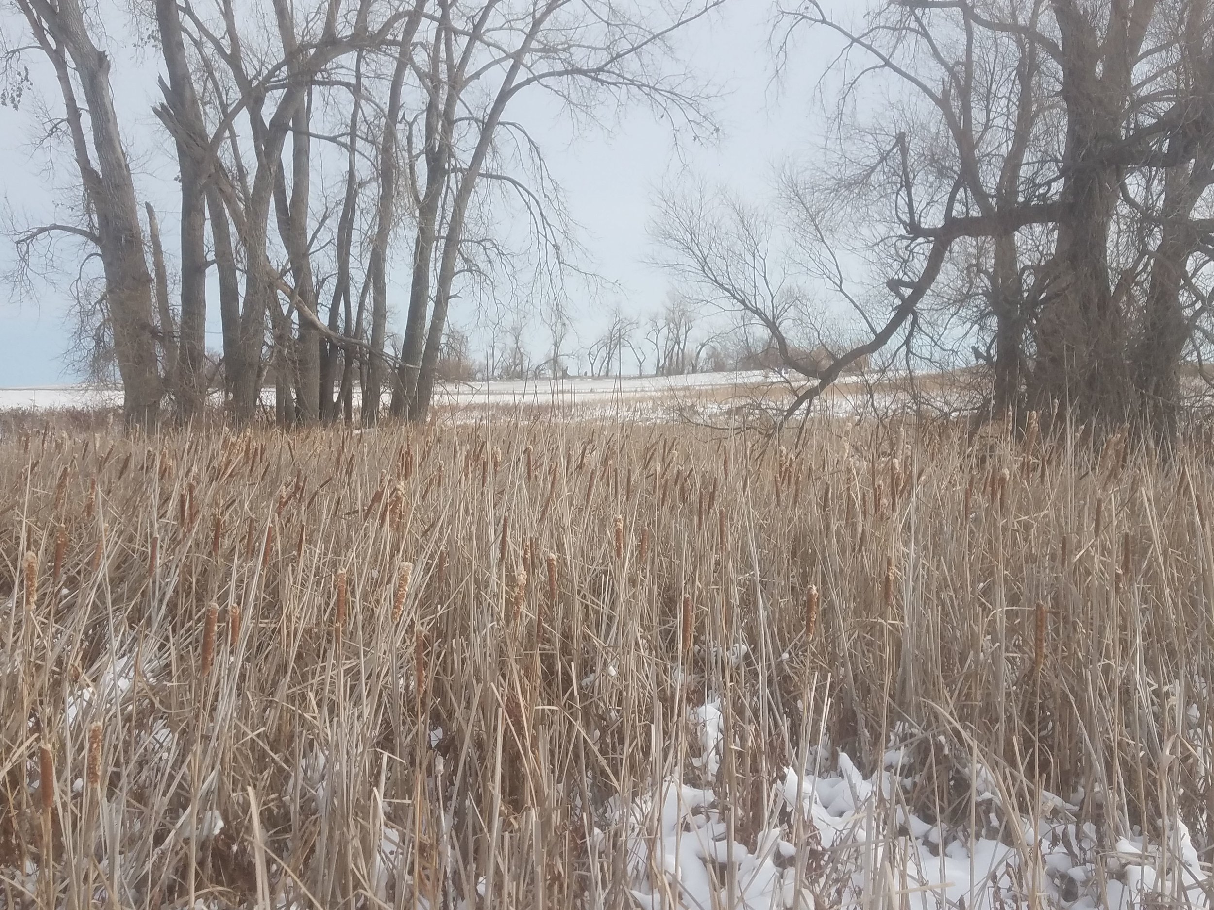
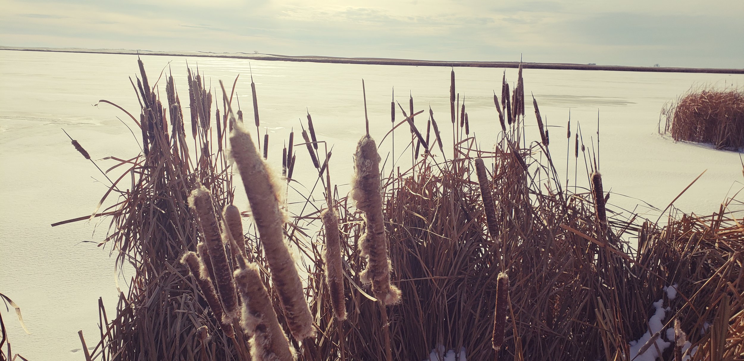
At present I am working on mapping wetlands in North Dakota. I started off by learning manual digitization of linears and polygons following training and attribution standards given by the National Wetlands Inventory, and my responsibility is to come up with an automation process for identification of wetlands in Fort Berthold reservation in North Dakota. Apart from that, there is also good learning on data development to spatial model building and raster/vector data analysis. This project is definitely increasing my knowledge base in GIS and also in Geo Analytics. It is interesting to see how every county has a different geography and needs different base imagery for wetlands identification and image interpretation. It has helped me develop my skill set in ArcGIS as well as Arc Pro.
How do you see GIS fitting into your future?
As I am almost near degree completion and now I think I would want to explore more work opportunities on projects related to Remote Sensing and Imagery Analysis in future. My current project on wetland mapping has been helpful as I can understand how spatial data collection can be put to use and then interpreted for further analysis. I do see myself taking keen interest in environmental conservation and hopefully climate change projects soon. It would definitely be very fulfilling for me.
Where can we find you outside of GSS?
I am graduating this summer so most likely I would be available at the Twin Cities campus. I do like like to stay outdoors for running and cycling at Lake Calhoun in summers. Also exploring new restaurants in the city is something I enjoy a lot.
New Partnership with NPS
GSS was recently awarded a project in collaboration with Chaco Culture National Historical Park (CHCU) in New Mexico. Together, the two entities will work to assess, organize, create metadata, and prepare over 30,000 digital image files for uploading to the public NPGallery photo-viewing portal. This process will make thousands of digital photos spanning several decades available to NPS staff and the general public for the first time.
In addition to the tasks outlined above, GSS will also be drafting two management plan documents for CHCU. The first management document will outline the specific procedures GSS will use to systematically sort and manage the digital images so that the end result conforms to NPS and CHCU expectations. The second written product will be a digital image management plan written specifically for CHCU staff. This document will provide step-by-step details for park staff, collaborators, and volunteers to follow when preparing a new digital image for uploading to NPGallery. It will outline how to attach metadata (i.e., what fields need to be completed, what the standard naming conventions are for each field, etc.), how to credit the image creator/photographer, and will detail where the files should be saved internally. The end result of this effort will hopefully provide CHCU with the resources needed to quickly save and upload digital images so that they are publicly available.

Chetro Ketl, a Chacoan “great house”, at Chaco Culture National Historical Park.
GSS Partners on Clean Water Rule Spatial Analysis
In February of 2017, the Trump administration directed the Administrator of the Environmental Protection Agency (EPA)and the Assistant Secretary of the Army for Civil Works (Assistant Secretary) to revise the definition of Waters of the U.S. (WOTUS). The definition is used to determine which streams, rivers, lakes, coastlines and wetlands are protected from draining and filling under the Clean Water Act. Due to a combination of subsequent rule makings and court challenges, two definitions are currently used in the United States. There are 28 states where waters are defined by the 1986 definition of Waters of the U.S. in combination with guidance developed following the 2006 Rapanos Supreme Court decision and 22 states where waters are defined by the 2015 Clean Water Rule definition.
In December 2018, the EPA and Department of Army published another proposed rule with a new definition of WOTUS to replace both of these. The new proposed rule would remove many waters and wetlands from Clean Water Act protection that are currently protected by both the 2015 and 1986 definitions. There is a clear need for analytical materials, such as a digital map of different watersheds in the U.S. that shows which waters and wetlands are protected and which are not protected under these three scenarios. Such a resource could help elected officials, policy makers and the public understand what waters are currently protected, as well as the extent and impact of the changes proposed by the Trump Administration, so they can comment on the proposed rule and plan for potential future changes in the extent of waters protected under the Clean Water Act.
With grant funding from the Hewlett Foundation, GSS created a geospatial model that predicts the spatial extent of federally protected wetlands and waterways. This model uses three different analysis scenarios:
1. Most Restrictive Scenario - This scenario limits protection of wetlands to those directly adjacent to perennial (permanent) streams/rivers only.
2. Very Restrictive Scenario - This scenario limits protection of wetlands to those adjacent to protected perennial (permanent) and intermittent (seasonal) streams/rivers.
3. Less Restrictive Scenario - This is the least restrictive of the modeled scenarios and limits protection of wetlands to those adjacent to protected perennial, intermittent and ephemeral (temporary) streams, and ditched or channelized streams.
This comparative analysis was completed for three geographically diverse case study watersheds using GIS and publicly available geographic digital data. The methods and communication of results were guided by a project advisory committee made up of science and legal professionals. The results of the analyses in the case study watersheds show that narrowing the scope of federally protected waters would significantly reduce the number of streams, wetlands and wetland acreage protected by the Clean Water Act, leading to a potential loss of benefits provided by wetlands that would no longer be protected under the Act. These benefits include water quality protection, floodwater attenuation, fish habitat and wildlife habitat. The methods and results of this work can be found in the final report and in a story map developed with Esri technology.
GSS Spotlight!
ERIN HETTINGER
What is your education and professional background?

I am from Lindenhurst, IL and graduated from Saint Joseph’s Catholic Academy in Kenosha, WI. I am currently in my junior year of my undergraduate studies at Saint Mary’s pursuing an Environmental Biology Major and a Statistics minor. In past summers I had the opportunity to intern at a medical device company in Illinois and worked with the research and development team doing chemical analysis of the products. Although a great experience, I realized that I enjoyed studying environmental science and wanted to gain more experience in the field rather than the lab. This past summer I was lucky enough to have an internship at Cascade Meadow Wetlands and Environmental Learning Center in Rochester. Cascade Meadow is a restored prairie and we mostly worked to maintain the land and keep the invasive species under control, also tracking the phenology of the plants, recording various bird and insect species present, and performing water quality tests on the lake on site.
What led you to GIS? More specifically, how did you get to Saint Mary's University of Minnesota (SMUMN) in Winona?
With both of my parents graduating from Saint Mary’s University, it had always been on my radar when looking at colleges. It wasn’t until I decided that I wanted to pursue a degree in the environmental sciences however, that I realized that Saint Mary’s was the perfect place for me. Winona is not only a beautiful place for outdoor recreation, but it is also an amazing place to gain practical experiences outside of the classroom, studying a variety of ecosystems and communities in the Mississippi and the bluffs.
Explain briefly a project at GSS you've done that contributed to your overall knowledge and educational experience.
I am currently working on the mapping of wetlands in North Dakota. This particular project is to aid in the conservation of wetland habitats, especially for ducks, within the state. It is crazy to see how agricultural practices can change the landscape over just a few years and the impact it has on wetland species. This project has given me the ability to learn more of the ins and outs of ArcGIS that I haven’t yet been able to learn through my coursework, while also giving me hands on experience and the ability to accurately map and attribute wetlands. I have also been able to learn the various uses of GIS beyond map-making, and its numerous applications within the field of environmental biology.
How do you see GIS fitting into your future?
Before coming to work at GSS, I had no idea how many different ways GIS could be utilized. I personally would love to work in the field of conservation biology in the future and I now realize how important GIS is in aiding conservation efforts. Whether it be through making maps to educate the public or making prediction models of habitat suitability, I am sure my experience at GSS will aid in many ways, directly and indirectly.
Where can we find you outside of GSS?
If I’m not inside studying and doing homework, you can find me outside and often with friends, whether it be hiking (or snowshoeing) the trails or kayaking on the river when the weather warms up. I also love reading, watching movies, working out, and playing volleyball in my free time.
GSS Spotlight!
KLAUS FRIEDLI
What is your education and professional background?
I'm from Marshfield, Wisconsin and I graduated from Marshfield Senior High in 2017. I'm currently a sophomore at the Saint Mary's University of Minnesota pursuing an Environmental Biology major and Criminal Justice and Zoology minors. I've had multiple jobs in the past that were in retail until my last summer before college when I worked for the City of Marshfield as a landscaper. I've also assisted in some ecological research, the removal of invasive species, and introduction of native plants all in the area of Winona County.
What led you to GIS? More specifically, how did you get to Saint Mary's University of Minnesota (SMUMN) in Winona?

I was very intrigued by the University because I was familiar with the area from visiting friends at Winona State University. The area of Winona blew me away, especially all the water and trout streams so close to the town and University. I was also recruited heavily for the Men's Varsity Soccer team after I attended an ID camp held at Saint Mary's University of Minnesota. After looking further into the school's Environmental Biology program and speaking with current professors I decided that it was a perfect fit for me. Before getting the job here at GSS, I had only a little knowledge on GIS from my Invasive Ecology course where we used it to map out where Japanese Barberry was in the bluffs behind the University and in Trempealeau State Park. Then Dr. Pauli emailed me about a summer job for GSS only a handful of weeks before the semester was over and after discussing it with Andy Robertson and my family, I took the internship. It was a big jump for me because it was only my first year of college and I was already going to be living on my own.
Explain briefly a project at GSS you've done that contributed to your overall knowledge and educational experience.
The project that myself and a group of other college students and technicians worked on this summer was for the Minnesota DNR. It was for the National Wetland Inventory and was a two year project mapping the wetlands of Northwest Minnesota in the Red River Valley, Detroit Lakes, and other areas like Itasca State Park. This project really opened my eyes to the world of GIS and all the different wetlands we can have in Minnesota. The majority of what I mapped was lakes, ponds, rivers, and floodplains. There was also a good amount of emergent vegetation mapping like cattails, reeds, and bulrushes that indicate that an area is wet. It was awesome to be able to identify all these areas and map them by creating polygons using tools like previous maps, lidar, and infrared coloring.
How do you see GIS fitting into your future?
I plan on working for GSS throughout my college career here at Saint Mary's University because it is a great job that gives me a lot of experience in an important field. This application has so many uses that it will look really good for any job in the environmental field that I may apply to in the future. I hope for finding a job in the National Parks Service or DNR and although I may not be working directly with GIS in my job, I am positive I'll run across it and have to use it in any job I have.
Where can we find you outside of GSS?
The mostly likely place you'll find me is on some stream here in the Driftless Region of Minnesota. I love to fly fish and if my busy schedule allows some free time, I try to get out and try my luck. Other than that I've been skiing various mountains this winter break because that is my second favorite hobby, but it can be hard to do it around Winona when we don't have much snow on the ground. I also tend to be on the soccer field and weight room a lot because I am one of the many college athletes here at Saint Mary's. The last thing I love doing is just spending time with my friends everyday outside of class and enjoying the weekends here in Winona.
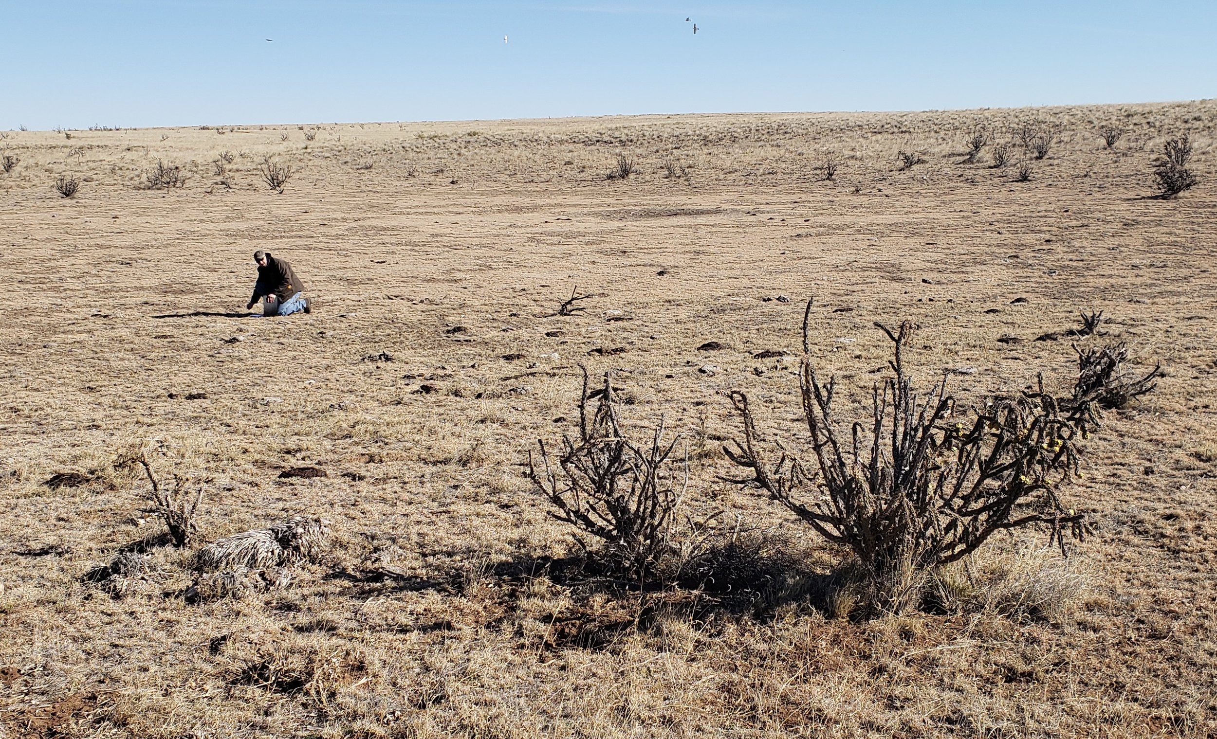
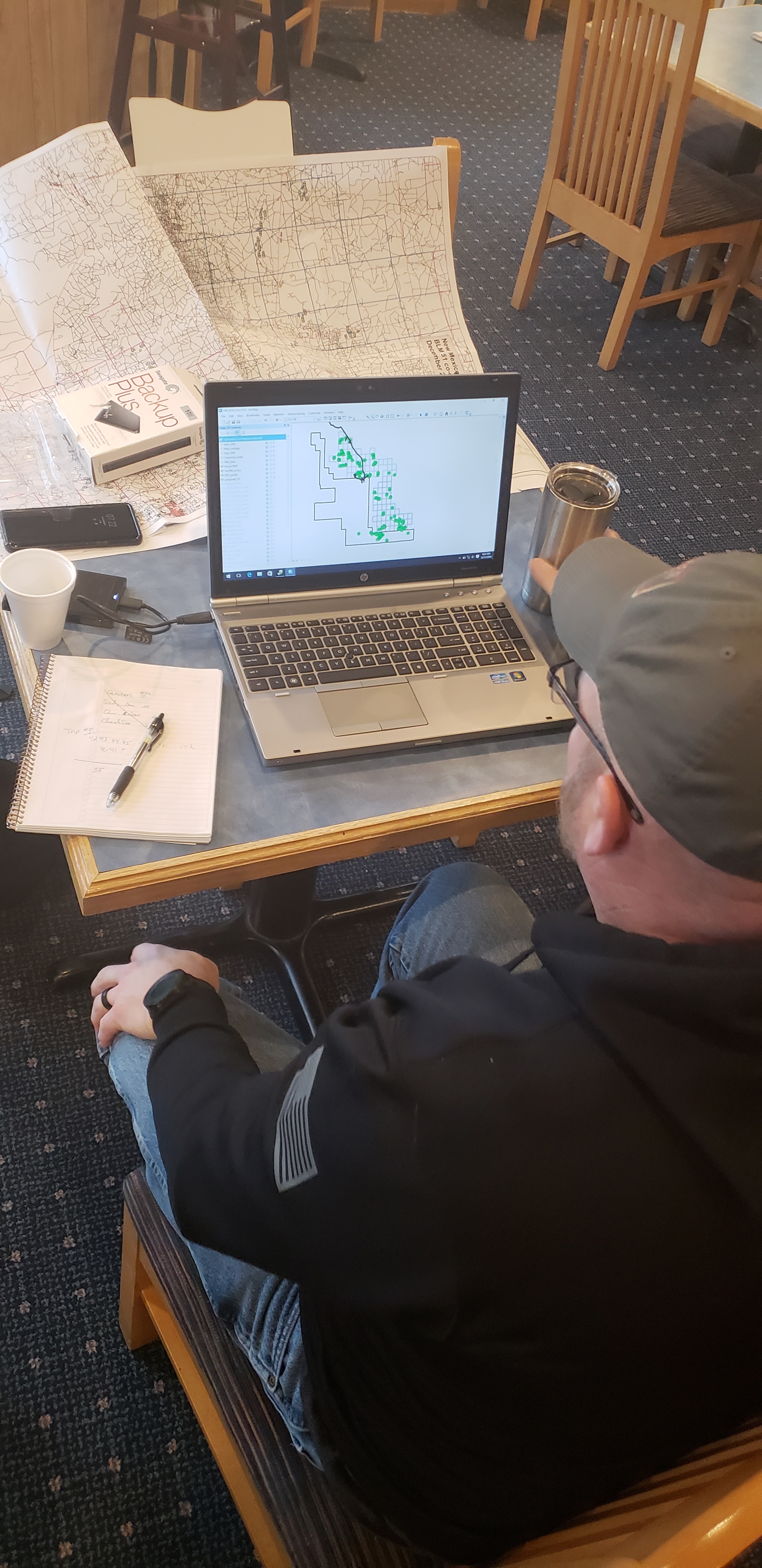
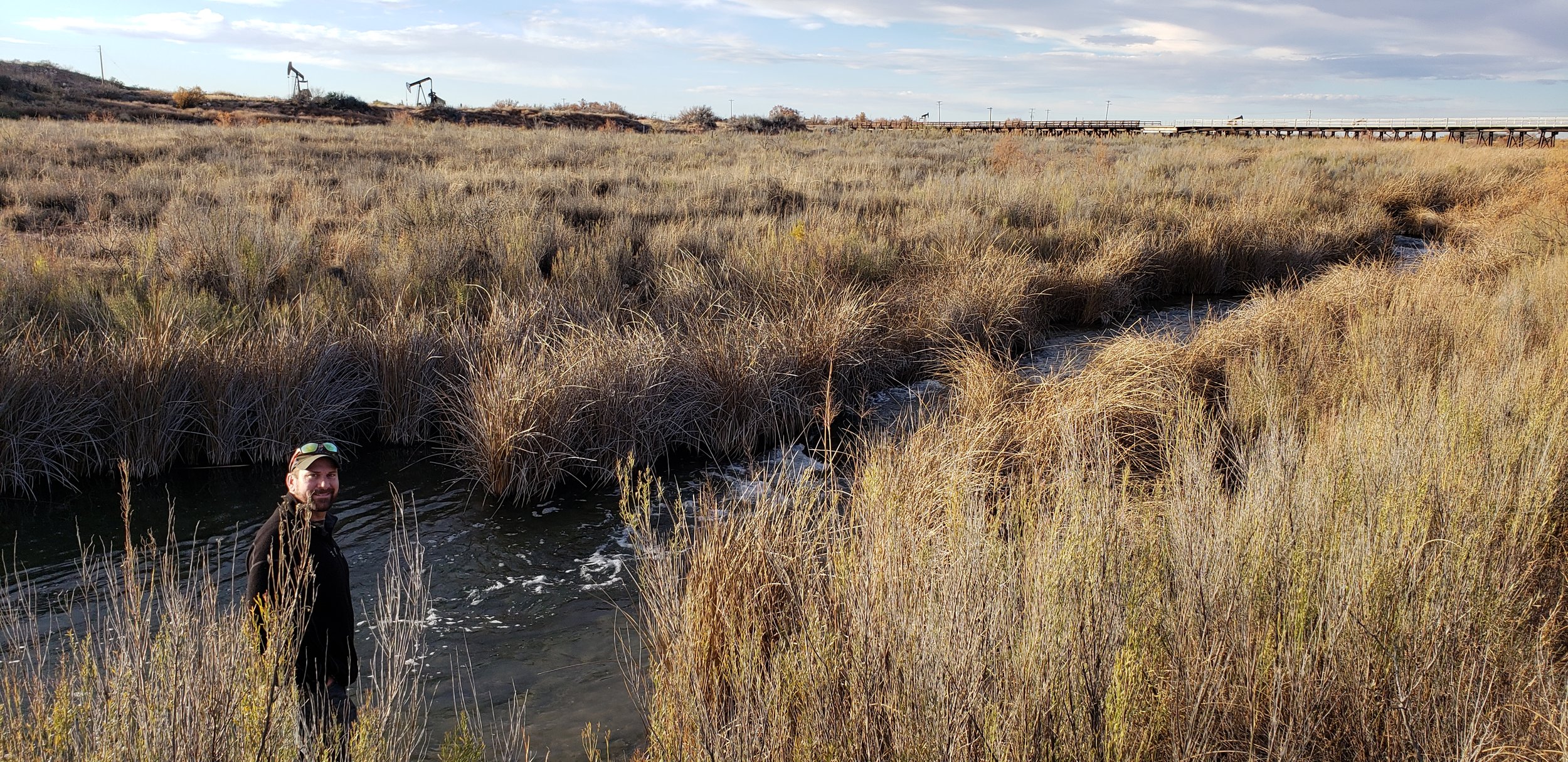
BLM Fieldwork Kicks Off
GSS was recently selected by the Bureau of Land Management to create wetland and riparian inventories for BLM-administered lands in the western United States and Alaska (see New Projects). This project includes work in New Mexico, Wyoming, Nevada, California, Utah, Idaho, Oregon, and Alaska.
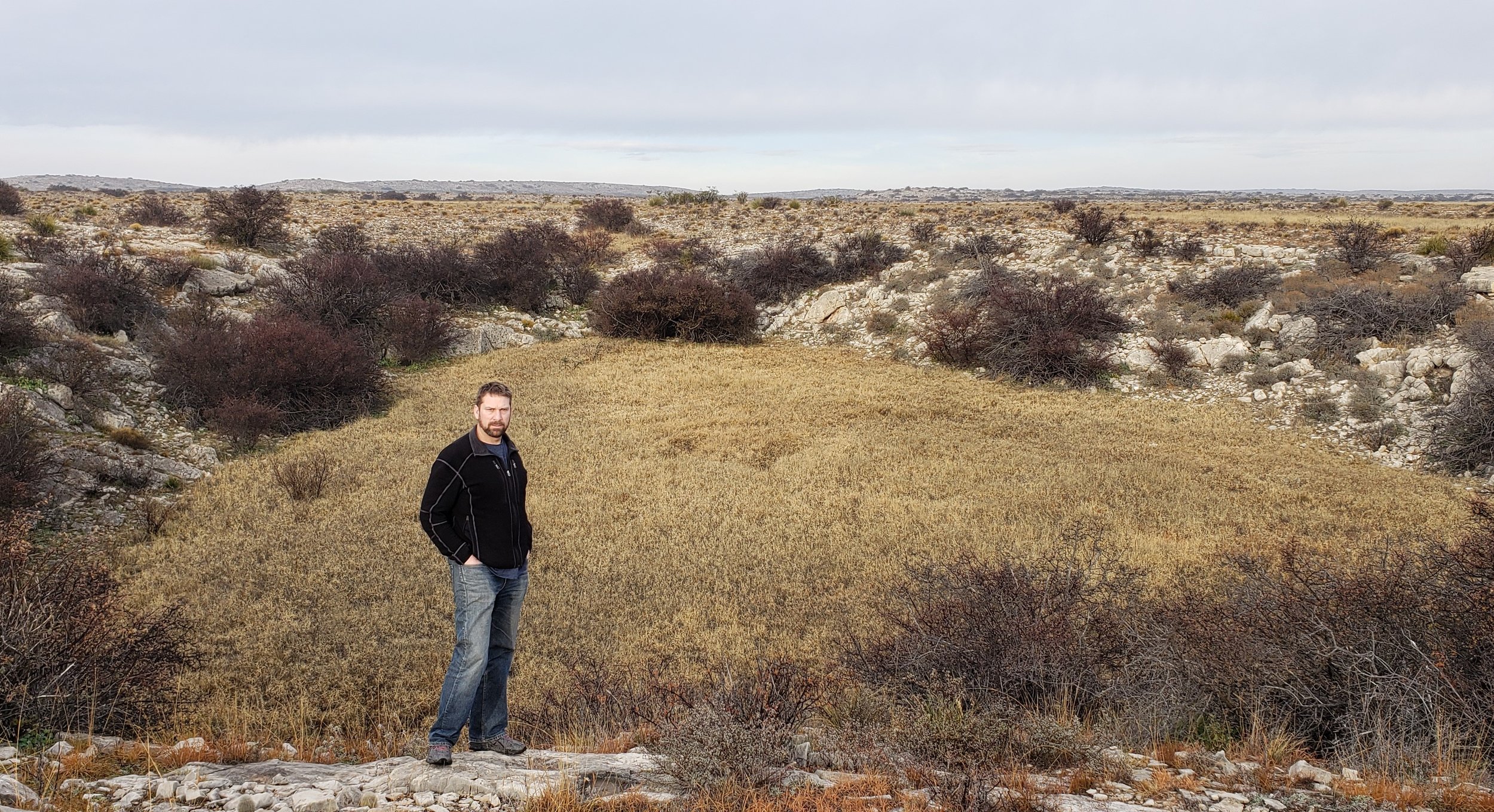
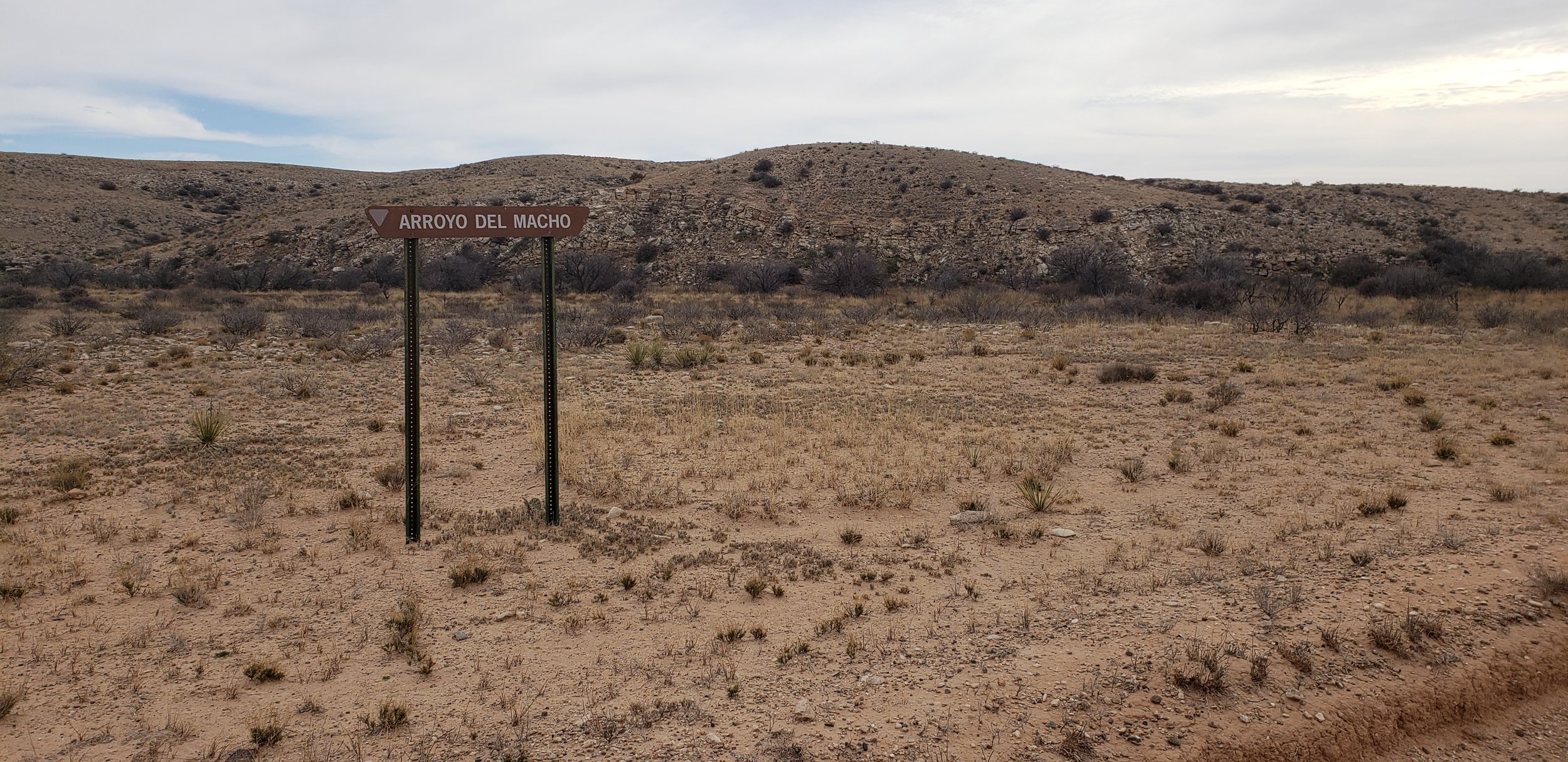
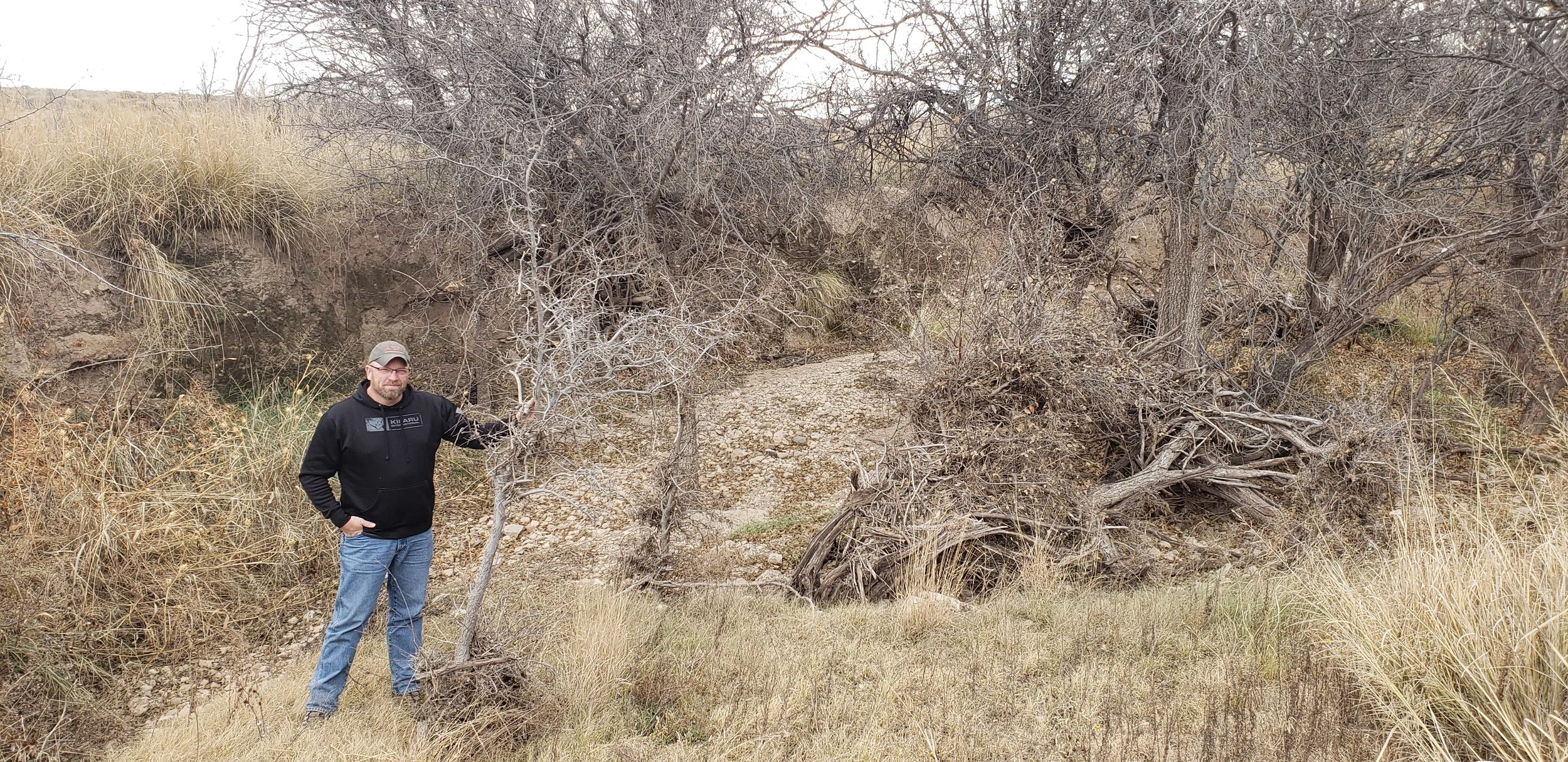
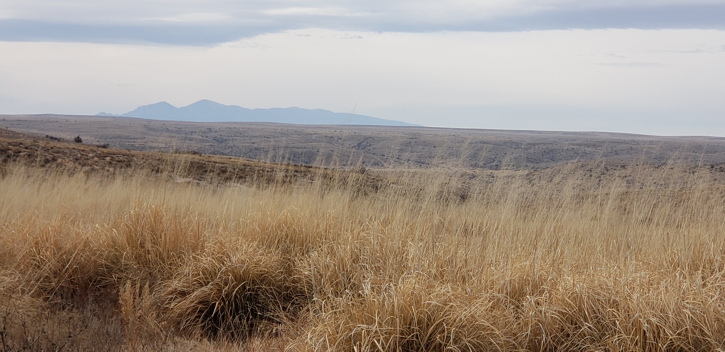
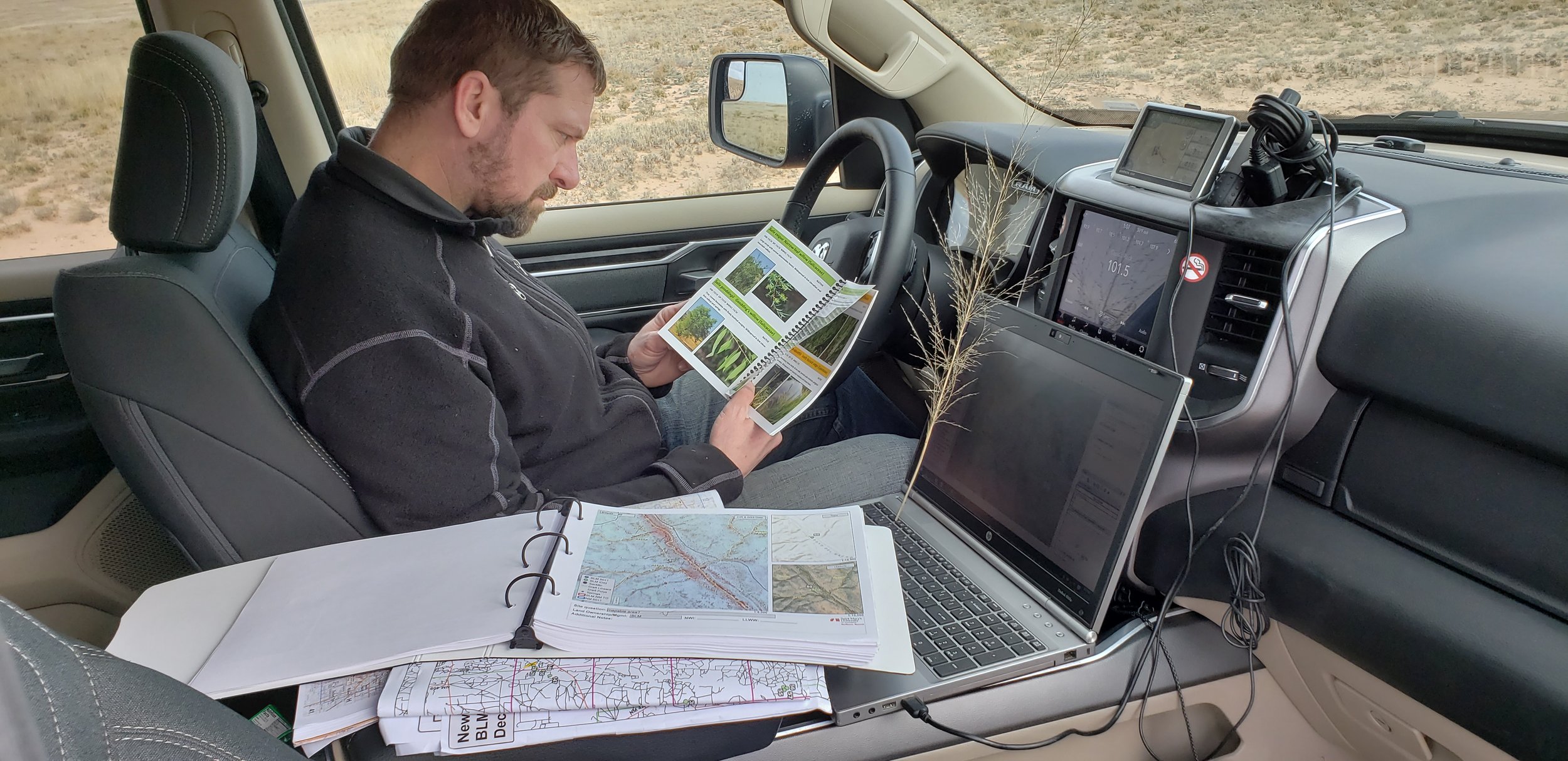
During early December, Kevin Stark and Eric Lindquist of GSS traveled to Southeast New Mexico for wetland field verification. They visited select wetland sites in recently mapped areas of Southeast New Mexico (South of Albuquerque and east of the towns of Roswell, Carlsbad, New Mexico). This area reaches east and south to the Texas border, covering parts of the Permian Basin which is located in western Texas and southeastern New Mexico. The Permian Basin gives its name to the large oil and natural gas production in the area. The Permian Basin is also a major source of potassium salts (potash), which are mined from bedded deposits of Permian age.
The team verified and confirmed preliminary mapping done by GSS and worked to learn more about the newly created LLWW key for inland wetlands of the Western U.S. This information is then processed and mapping will be adjusted for project completion.
Mapping has also begun in the Wyoming project area and continues to keep staff and student interns busy at Saint Mary’s University.


Regional LLWW Keys for the Western U.S. Completed
GeoSpatial Services is pleased to announce the publication of a set of regionalized keys to LLWW for inland wetlands of the Western U.S. LLWW is a wetland classification system based on Landscape Position, Landform, Water Flow Path, and Waterbody Type. This document represents more than a year of collaborative work by GSS and the Colorado Natural Heritage Program, with input from the Utah Geologic Survey. The project partners spent countless hours on the phone and in a shared Google document attempting to craft LLWW keys that could be applied consistently for most common situations in the Western U.S. These keys are based on the principles of Ralph Tiner’s most recent (2014) LLWW Keys, but simplify and clarify potentially confusing codes and add greater detail on the coding of common western wetland types. Next, the collaborators will be working to build an image library of air photos of wetlands mapped with NWI and this LLWW attribution. The new keys can be found at this link: https://cnhp.colostate.edu/download/documents/cwic_docs/LLWW%20Key%20for%20Inland%20Western%20US_vDec10_2018.pdf

An illustrated example of LLWW codes and modifiers for common situations in the western U.S.
GSS Spotlight!
TOAN TRAN
What is your education and professional background?

I am an international student from Vietnam. I first came to the U.S. in my senior year and graduated from Mt Tahoma high school in Tacoma, WA. After that, I started my post-secondary education at Saint Mary's University of Minnesota and am currently in my final year. I major in Physics/Engineering Science with minors in Mathematics and Computer Science. My junior year marked the beginning of various experiences where I gained valuable skills and knowledge, including working at GSS. The highlights for me are my research project with Dr. Demian Cho on information processing with respect to criticality and the CPBF summer school program at Princeton University over last summer, which contributed greatly to my commitment to go to graduate school.
What led you to GIS? More specifically, how did you get to Saint Mary's University of Minnesota (SMUMN) in Winona?
As I was searching for a suitable university, SMUMN was recommended to me by a close friend of our family who was attending the university at the time. Ultimately, I chose Saint Mary's as my home for the next 4 years of my life. Also through her recommendation, I applied for a job in the admissions office at SMUMN and worked there for 2 years. It was a good experience but I wanted to find something more in line with my interest and personality. I then found out about the GSS summer work opportunity and have been working with GIS ever since.
Explain briefly a project at GSS you've done that contributed to your overall knowledge and educational experience.
The project I am currently working on involves mapping various wetland landscapes in Wyoming. This is the first project in which I started learning about using Google Earth Pro in conjunction with the given collateral data to aid the processes of delineating and attributing the wetlands. It taught me the benefits of going beyond the basic tools, which is particularly substantial in this line of work due to the importance of accurate data.
How do you see GIS fitting into your future?
Although GIS may not be a part of my career goals, my time at GSS has been a valuable working experience. It enhances the diversity of my experience with data analysis as well as my capacity for adopting new technology and working as part of a project team, which is extremely useful no matter what line of work I ultimately pursue.
Where can we find you outside of GSS?
Outside of GSS, I normally would be in my room in Brother Leopold residence hall or the Science & Learning Center and Saint Mary's Hall. In my free time, I like to watch movies, play Ultimate Frisbee or basketball, and hang out with my friends.
North Dakota NWI Project Kicks Off
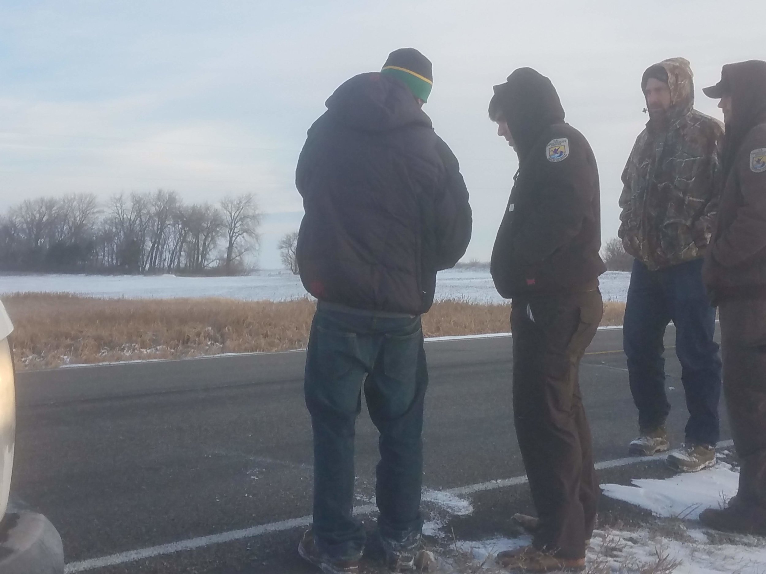
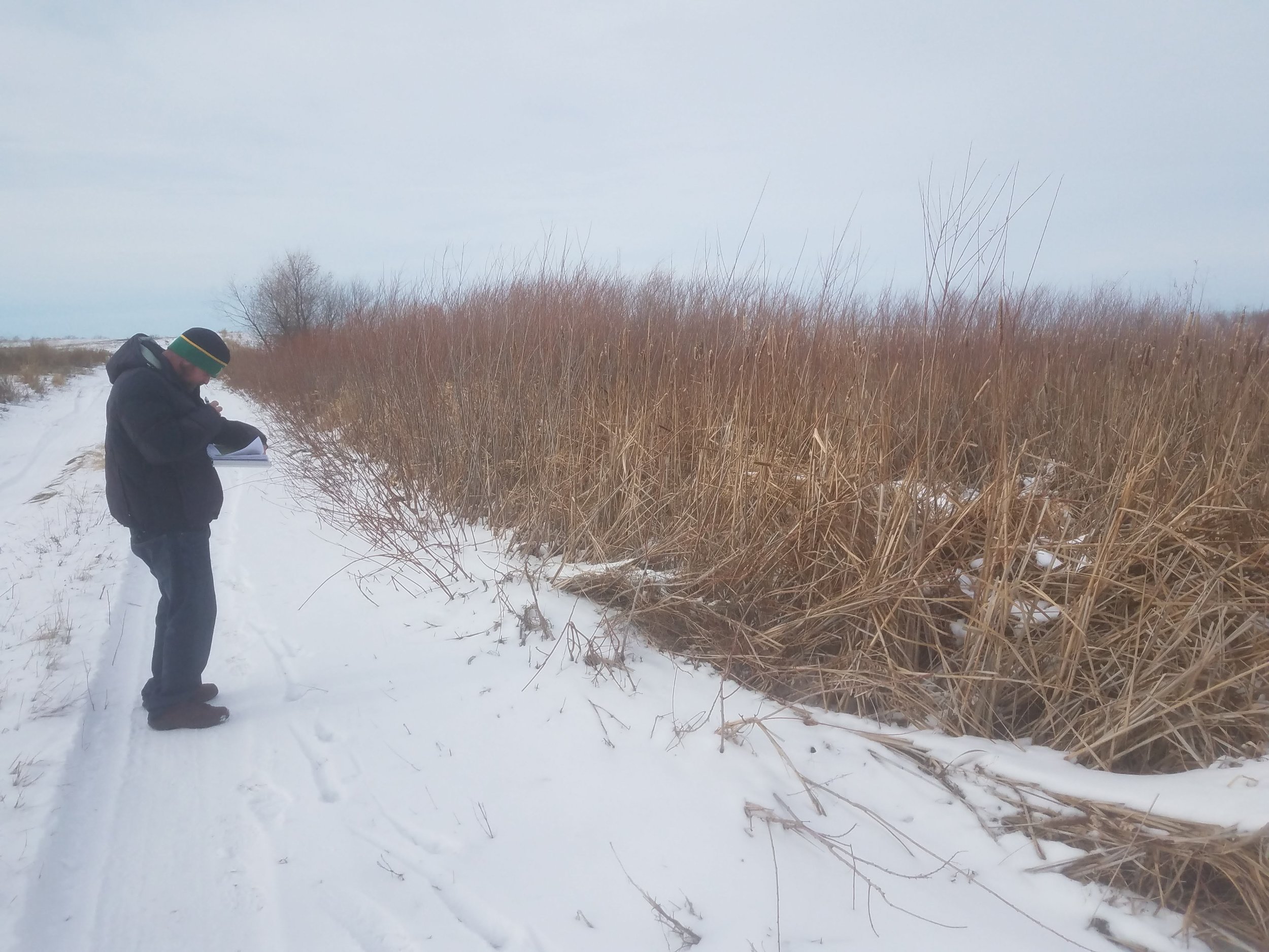
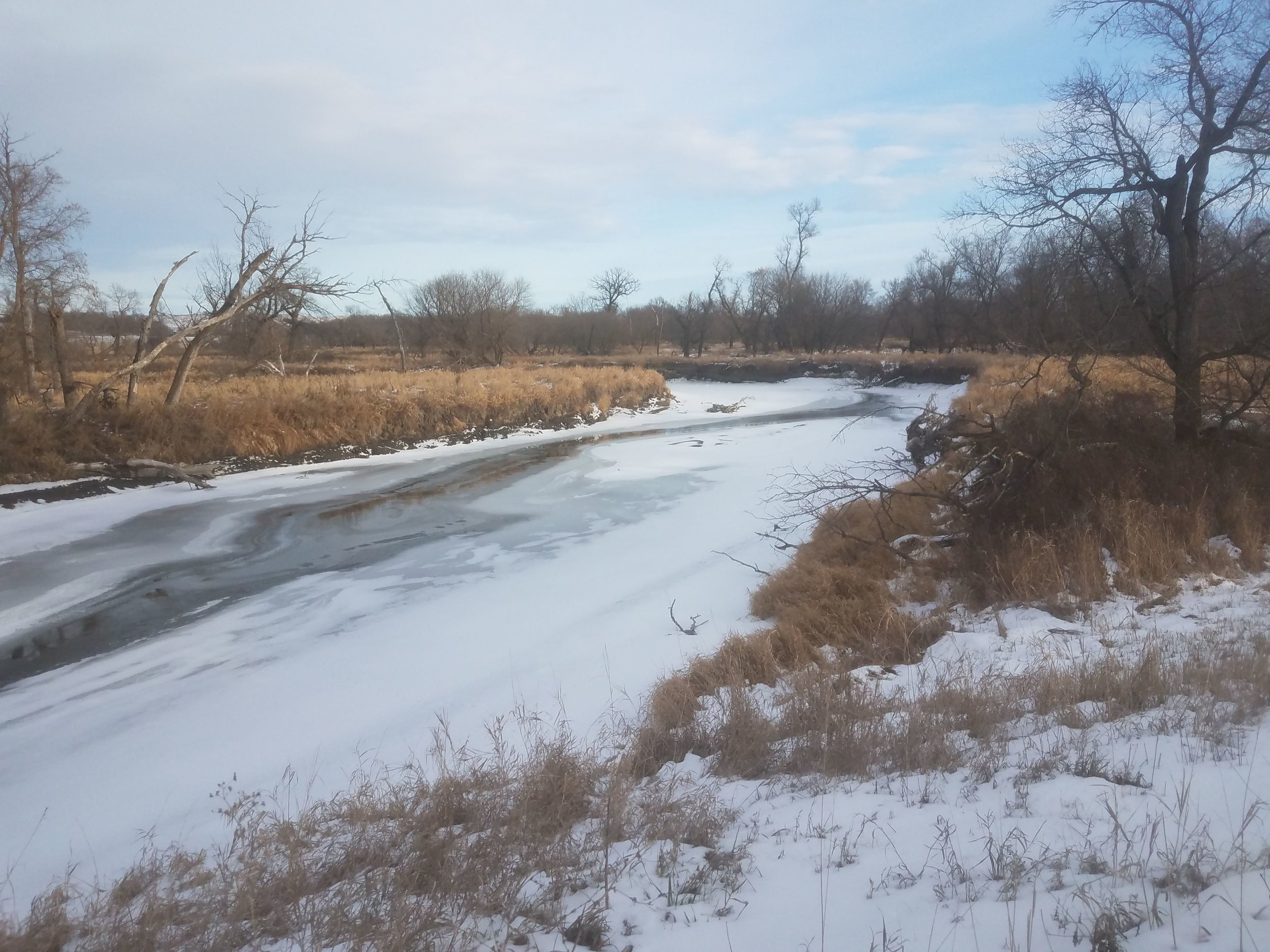
During the week of Nov. 12-15, GeoSpatial Services (GSS) staff members Kevin Stark, Nick Lemcke, and Al Rabine traveled to North Dakota as they conducted fieldwork and met with U.S. Fish and Wildlife Service (USFWS) officials regarding the current National Wetland Inventory (NWI) update. The scoping meeting, held at the USFWS office in Devils Lake, N.D., included discussions of mapping the prairie pothole region, farmed areas that have been heavily ditched/drained, soil conditions including saline and sodic soils, and other unique areas. The first series of NWI updates will include seven counties in northeastern North Dakota. GSS staff members were able to get out in the field to check pre-selected sites and analyze preliminary wetland classifications, identify vegetative species, and examine aerial photo signatures.

GSS Spotlight!
MORGAN LARSON
What is your education and professional background?
I started college at Central Lakes College in my hometown of Brainerd. I graduated from CLC in 2016 with my A.A. degree and then transferred to the University of Minnesota Duluth. I graduated from UMD in the Spring of 2018 with a degree in Geography and GIS. I am currently enrolled in the Data Intelligence and GeoAnalytics M.S. program here at Saint Mary's University. I have worked with the Geospatial Analysis Center at UMD, as a GIS tutor and teaching assistant, and with the St. Louis County Enterprise GIS team in Duluth. I spend most of my summers working at a zoo in the Brainerd Lakes Area.
What led you to GIS? More specifically, how did you get to Saint Mary's University of Minnesota (SMUMN) in Winona?
I have always been interested in maps and the places they will lead you. I grew up navigating my family on trips, which eventually led to my love of Geography. During my time at Central Lakes College, I took an introductory course on GIS and instantly knew that it was the right career path for me. I chose to complete my Master's degree at Saint Mary's University in Winona because of the small town feel and overall flexibility of the program.
Explain briefly a project at GSS you've done that contributed to your overall knowledge and educational experience.
Since starting at GSS in September, I have worked on creating and reshaping channels across the Kuskokwim region of Alaska. This project has helped me to take the skills I have learned from my classes and apply them to real world GIS applications.
How do you see GIS fitting into your future?
After graduation, I hope to find a job in the GIS field, either working in the environmental sector or as a cartographer.
Where can we find you outside of GSS?
Outside of GSS, you can find me in Winona, Brainerd, or Duluth. In my free time I enjoy hiking, canoeing, biking, spending time with family and friends, and travelling.