Knudson presents GSS work
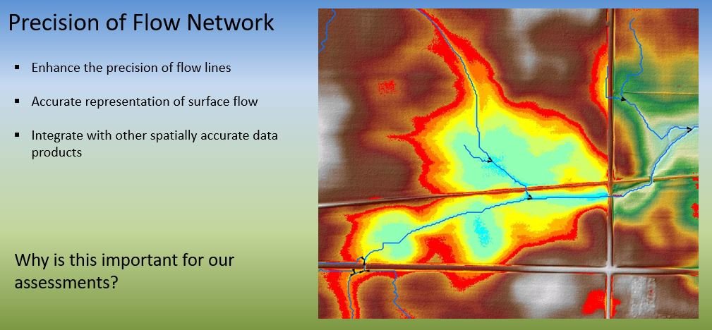
GIS Analyst Mike Knudson recently gave two presentations on behalf of GSS, at the Southeastern MN GIS Users Group’s summer meeting and on a National Association of Wetland Managers’ (NAWM) tribal wetland webinar. The GIS Users Group meeting was held on SMUMN’s Rochester Campus on June 1. Mike spoke about hydrologic conditioning, the modification of a bare earth Digital Elevation Model (DEM) through an iterative GIS processing method to better represent the movement of surface water within a watershed. The purpose of hydro-conditioning is to create a contiguous surface that accurately models flow across the landscape. These products are the basis for applications like the Agricultural Conservation Planning Framework (ACPF) or Prioritize, Target, and Measure Application (PTMApp) used to leverage geospatial data to inform watershed management.
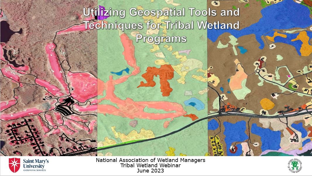
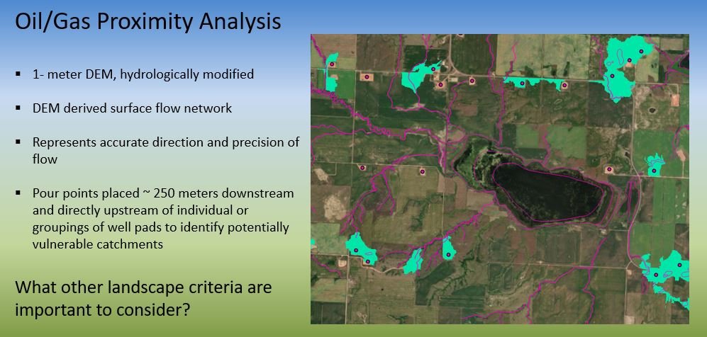
On June 16, Mike was one of three presenters at NAWM’s webinar, “Geospatial Mapping Tools and Techniques for Tribal Wetland Programs”. His presentation focused on the GIS mapping and analysis work GSS has done with native community partners, particularly the Three Affiliated Tribes (TAT) of the Fort Berthold Reservation. For TAT, the GSS team used GIS modeling to identify oil/gas well pads and wetlands vulnerable to oil & gas development, as well as developing a wetland rapid assessment method to evaluate wetland functions. This webinar was the sixth in a series of eight tribal wetland program webinars being co-hosted by NAWM and SMUMN GSS, with grant funding from the U.S. Environmental Protection Agency (EPA).


