GSS in Final Stages of New Mexico Wetland Mapping Projects
Areas with a green outline were completed in September; areas outlined in blue are next to be finalized.
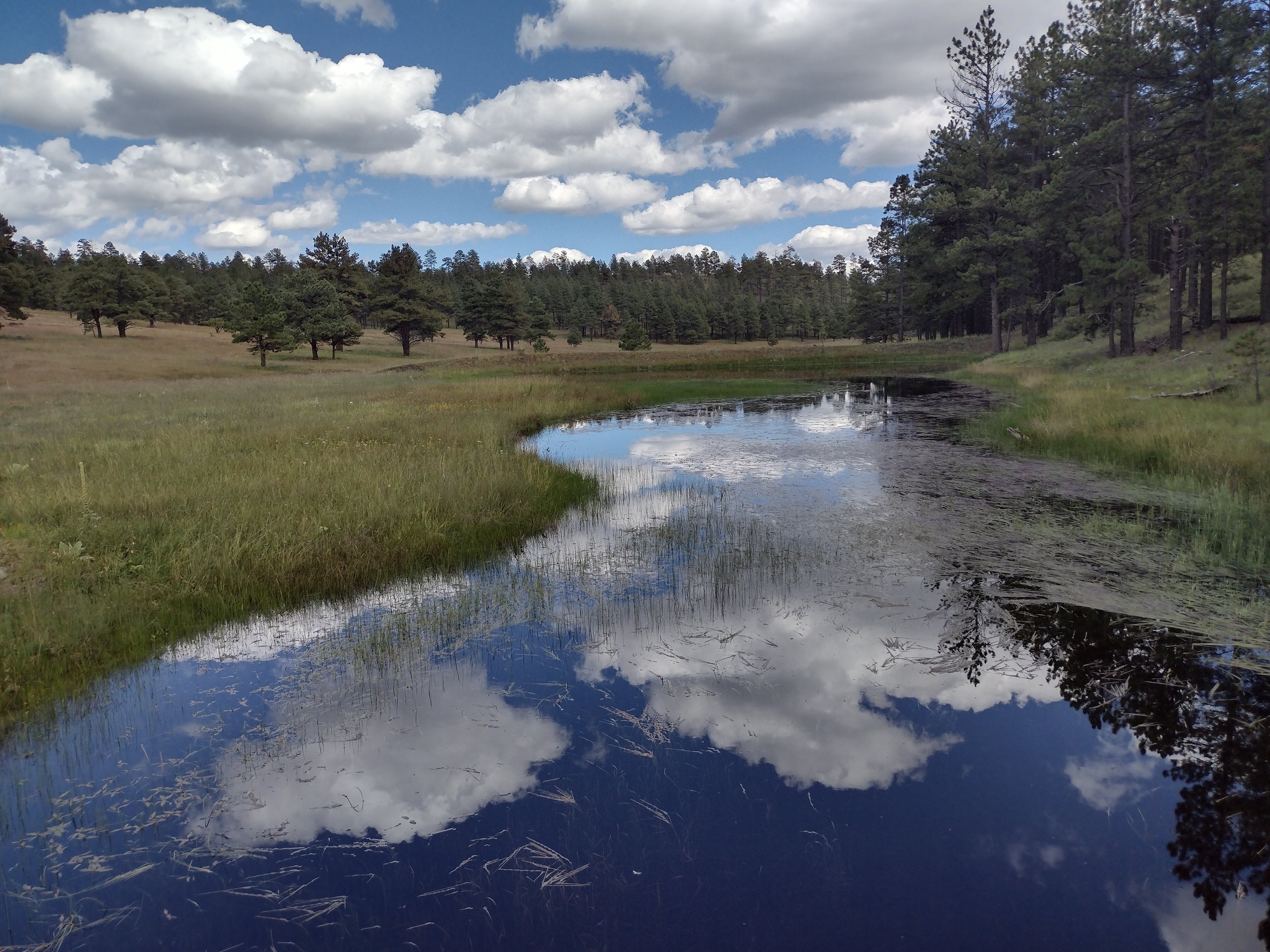
GeoSpatial Services has been working with the New Mexico Environment Department (NMED) for over a decade to map the state’s wetlands and assess wetland functions. At the end of September, GSS completed and submitted three more study areas, leaving only three study areas to finalize in the state. As the project wraps up, GSS is working with NMED to create an online story map that will share what we’ve learned with the public. The website will describe the importance of wetlands, the types found in Mexico, and the valuable functions they perform, such as groundwater recharge, surface water detention, and wildlife habitat provision. In September, GSS Director Andy Robertson travelled to New Mexico to collect photos for use in the story map. He criss-crossed the state, visiting the Apache and Cibola National Forests, the San Juan River and Rio Grande, and the mountains surrounding Santa Fe. The Valles Caldera National Preserve in north central New Mexico was a particular highlight, thanks to recent rainfall, late-blooming wildflowers, and elk.


