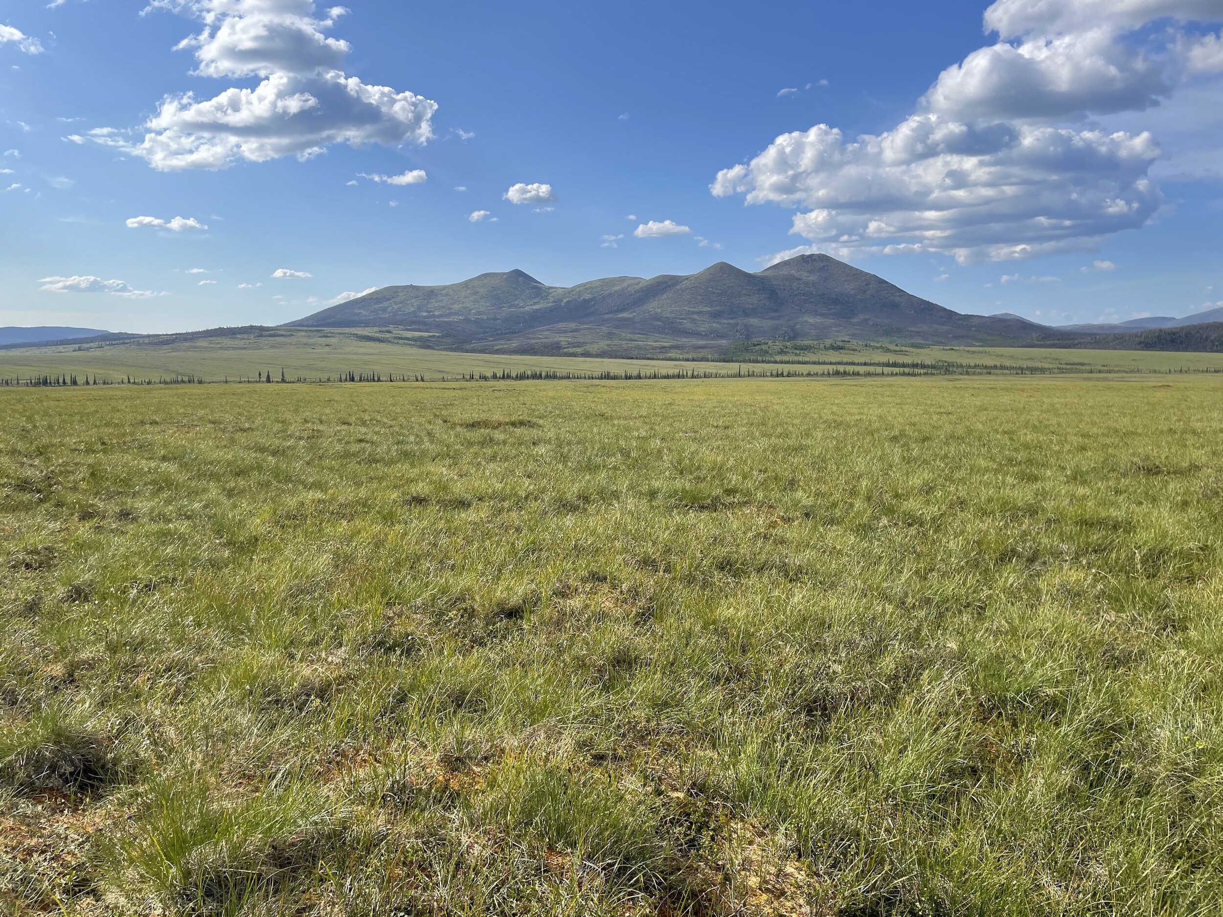
Another BIG Summer in Alaska for GSS Staff
GeoSpatial Services (GSS) has once again completed a very significant season of fieldwork in Alaska. Four teams from GSS travelled to the “Land of the Midnight Sun” this year to complete field verification of wetlands. These trips are required for current and future mapping projects in support of the National Wetland Inventory (NWI), managed by the US Fish & Wildlife Service (USFWS). Due to the remoteness of the study areas, most field work is done by helicopter.
The field season was started off by Director Andy Robertson and GSS Technician Ian Robertson. The team utilized Galbraith Lake airstrip along the Dalton highway and was also based out of the Arctic Village airstrip near a native community, as well as Kavik Camp located in the Arctic National Wildlife Refuge (ANWR).
The Robertsons passed off the use of the helicopter and pilot to the team of GSS Technician James Loken and Analyst Eric Lindquist for the second leg of GSS work. Their week consisted of field verification for projects located on the North Slope of Alaska’s National Petroleum Reserve (NPRA), as well as project areas south of the Brooks Range Mountains.
Trip #3 was handled by GSS Assistant Director Kevin Stark, who was accompanied by Eric Lindquist. The pair were responsible for areas on the south side of the Western Brooks Range as well as areas moving west towards Kobuk Valley, Noatak National Park, and further west towards the community of Kotzebue.
The final leg of the trip was the team of GSS Analyst Katie Engelmann and Eric Lindquist, who moved the helicopter and worked south near the town of McGrath. Their project study areas were west of Denali National Park, near McGrath, Galena and other small villages.
GeoSpatial Services is the largest contributor to the National Wetland Inventory and is a major partner with many agencies in Alaska as well as the lower 48. GSS currently employs 24 full-time staff and nearly 40 students at any given time. Acquiring new projects and completing fieldwork are only a few steps in the process of completing the updated digital mapping products for their clients.


