Data Validation Fieldwork for the NW MN Mapping Team
The Northwest MN mapping team has been diligently working on producing clean, accurate, and robust National Wetlands Inventory (NWI) data in an area of MN covering 19 counties for the past year and a half! As the project comes to an end in fall 2018, the newly created NWI data is in need of validation. This data validation step is crucial because it ensures the integrity, suitability, and usability of the data.
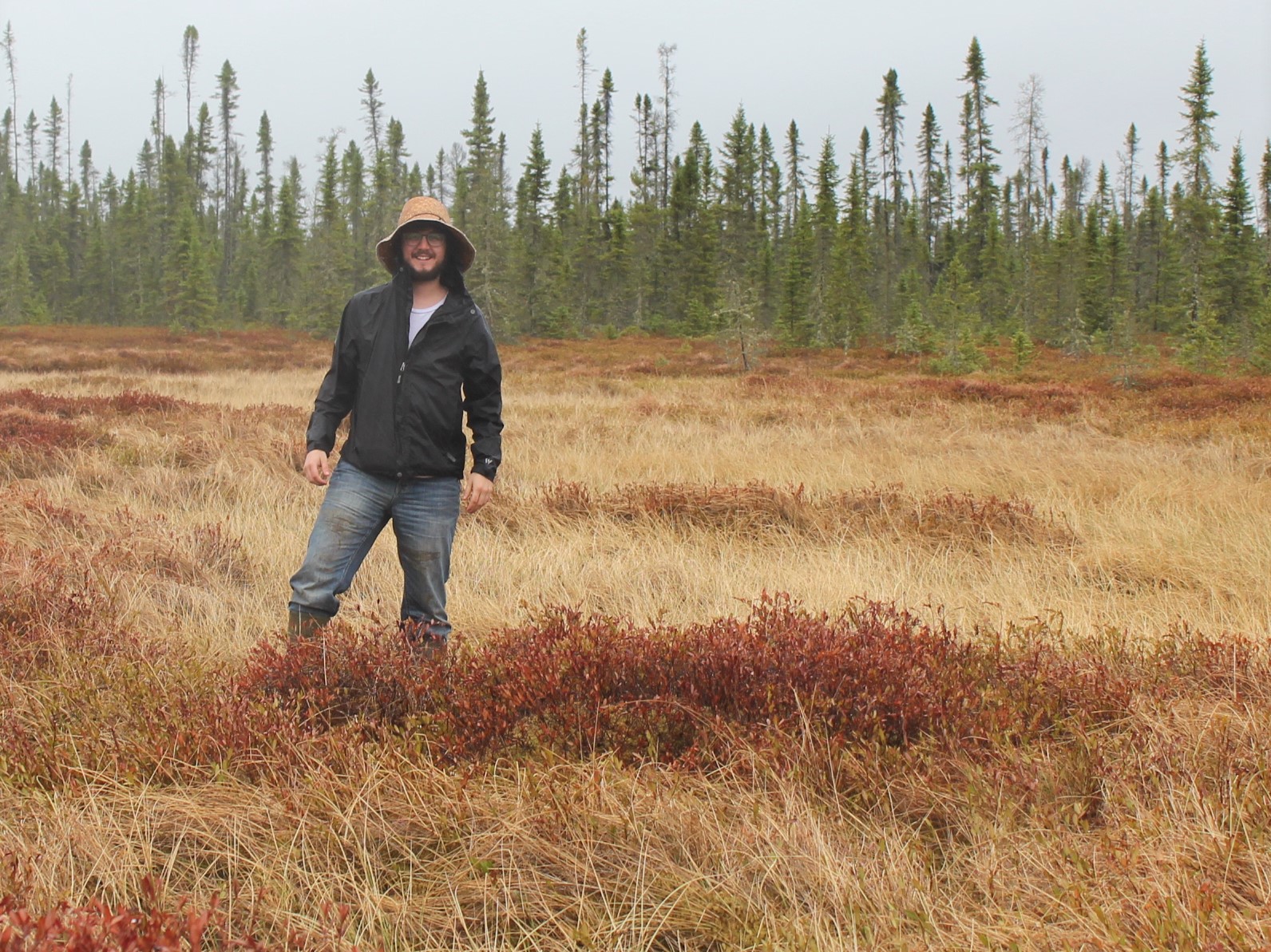
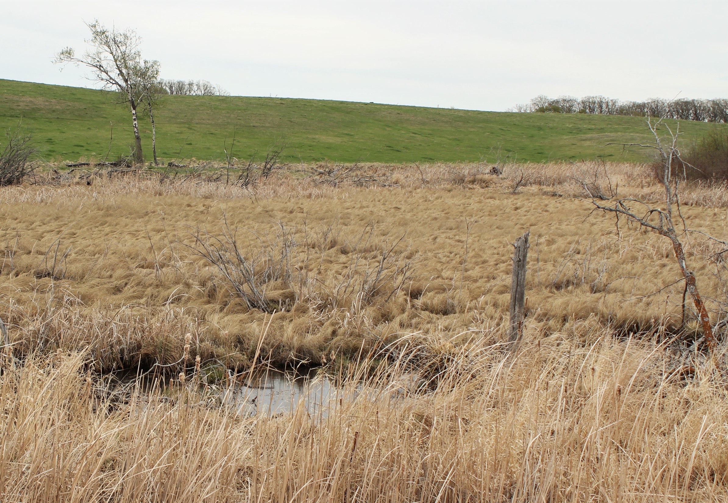
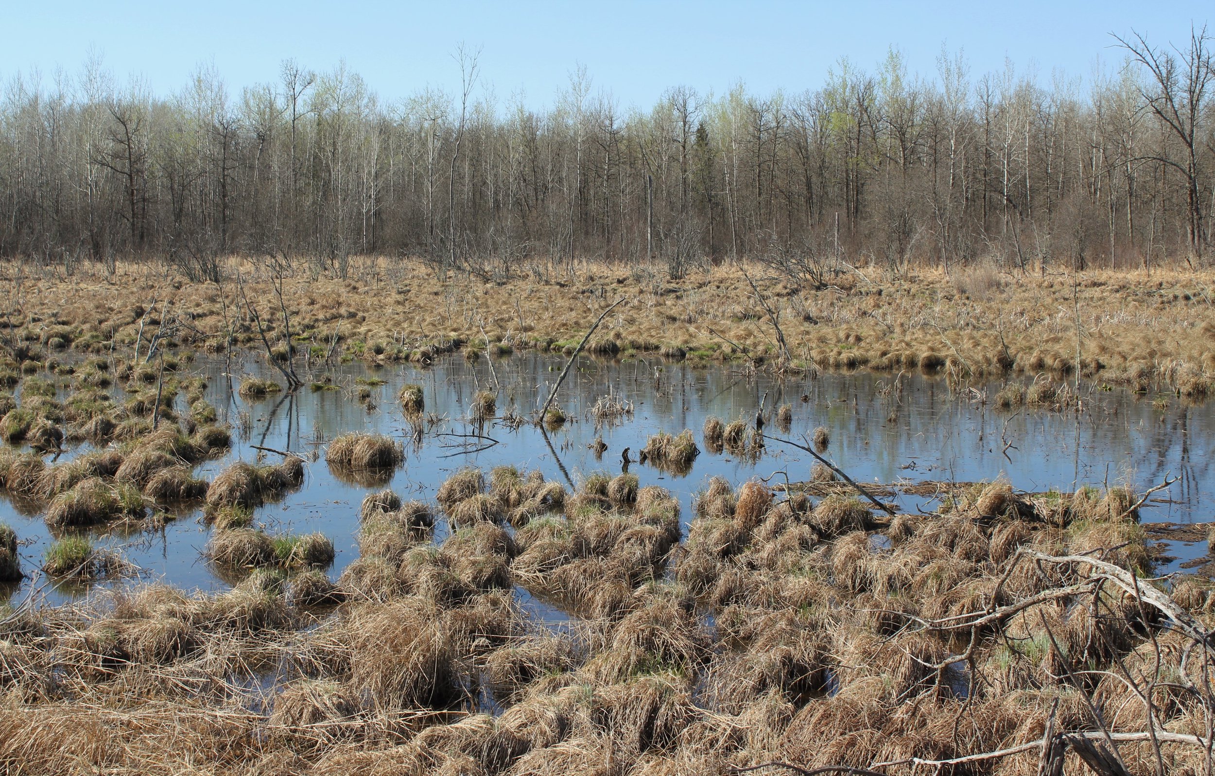
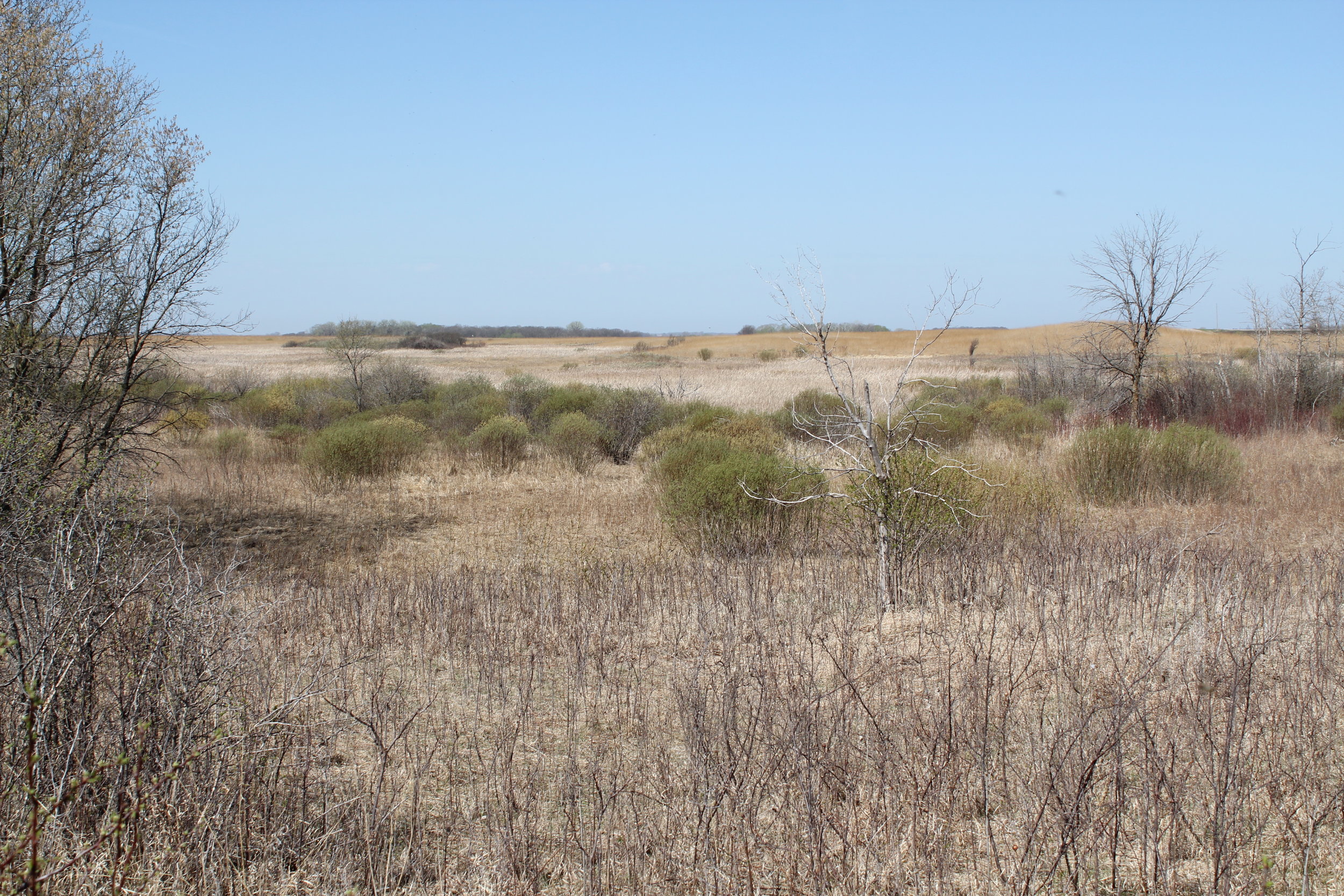
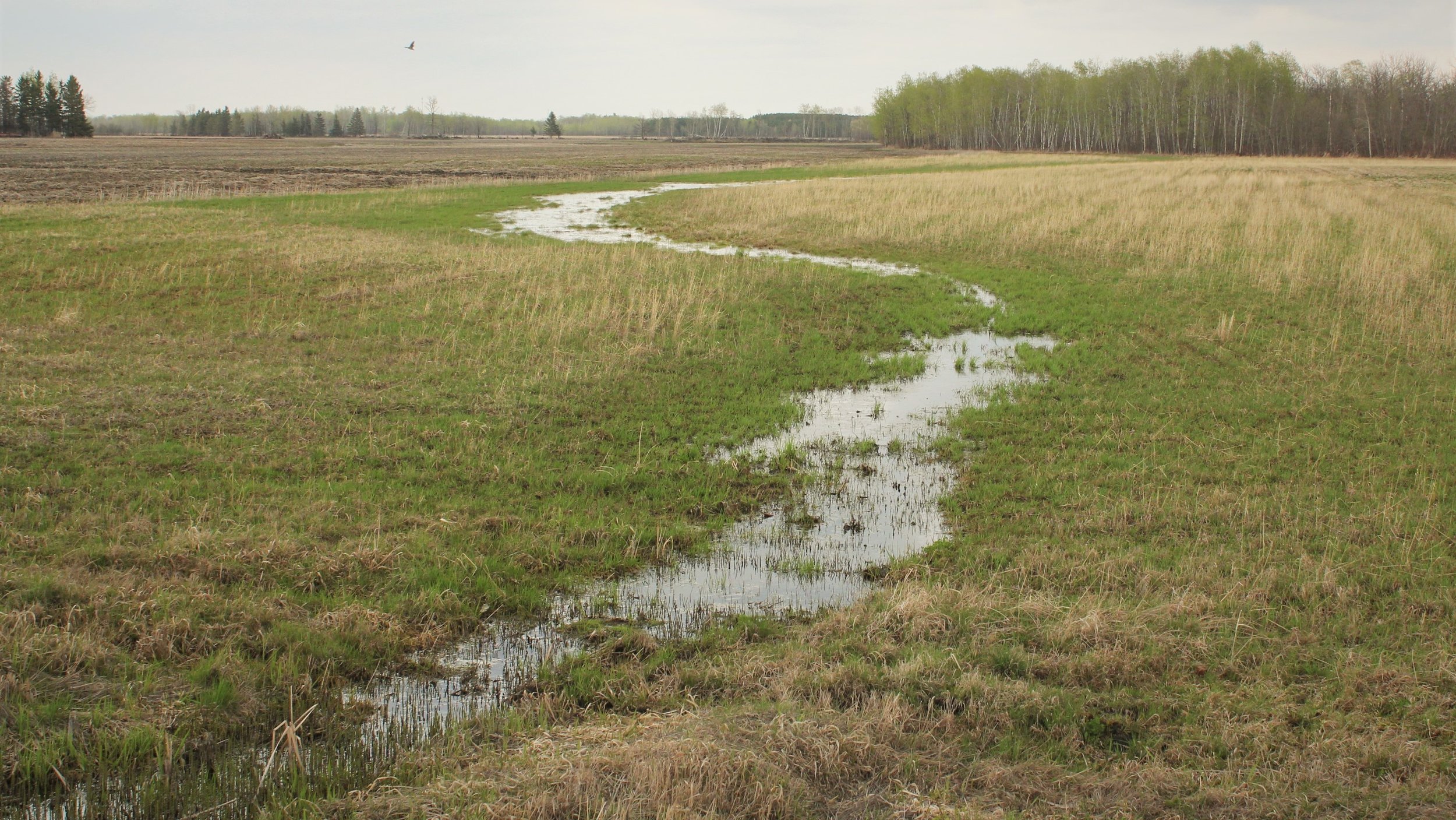
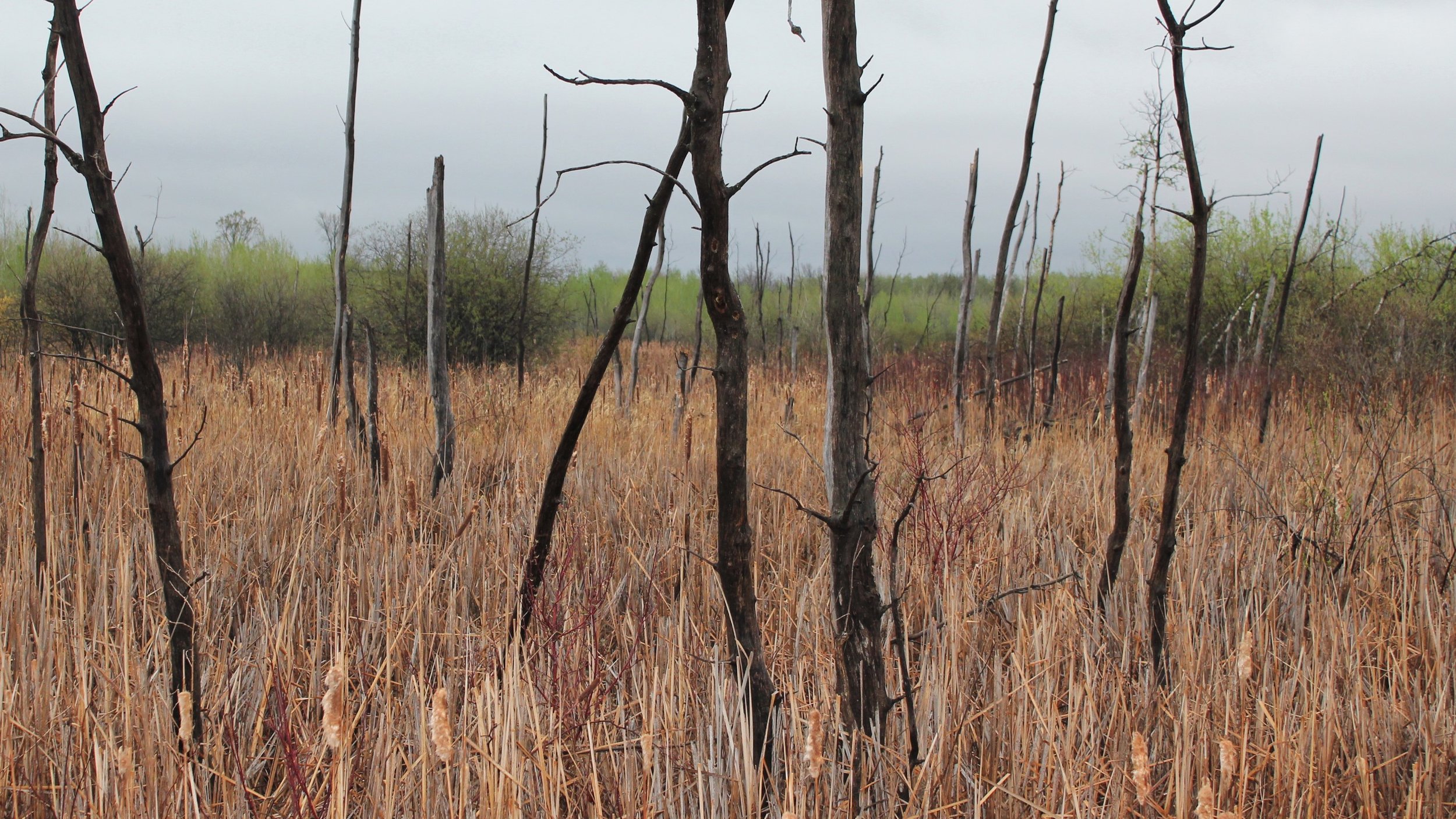
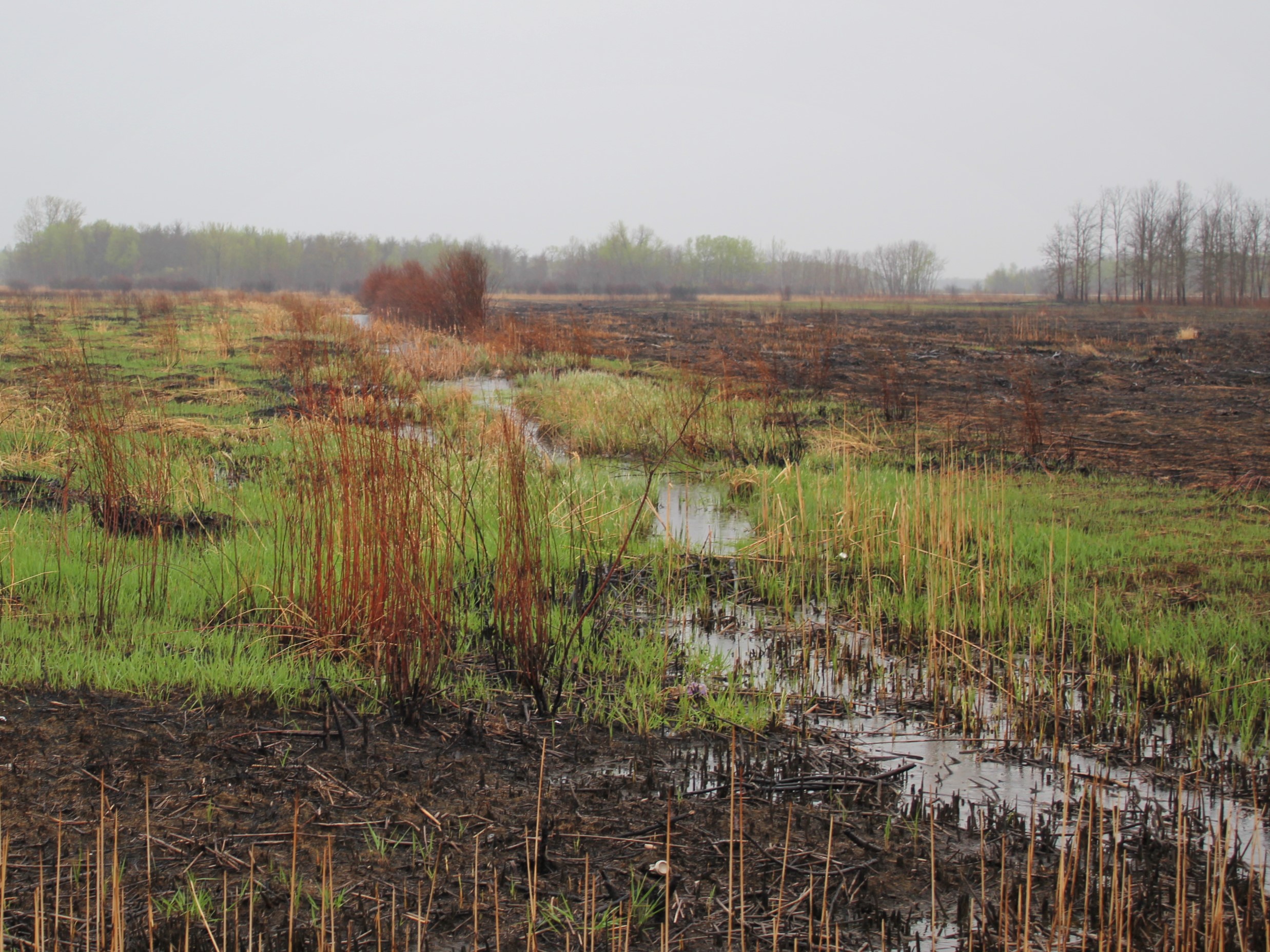
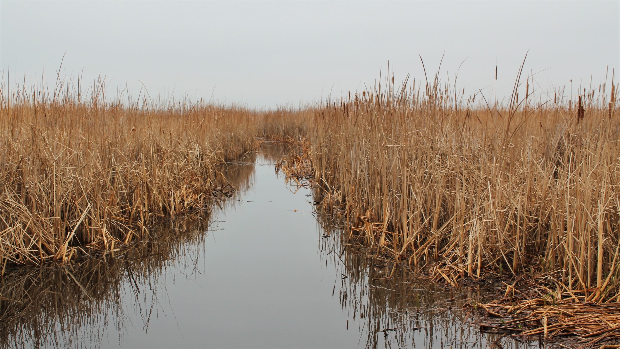
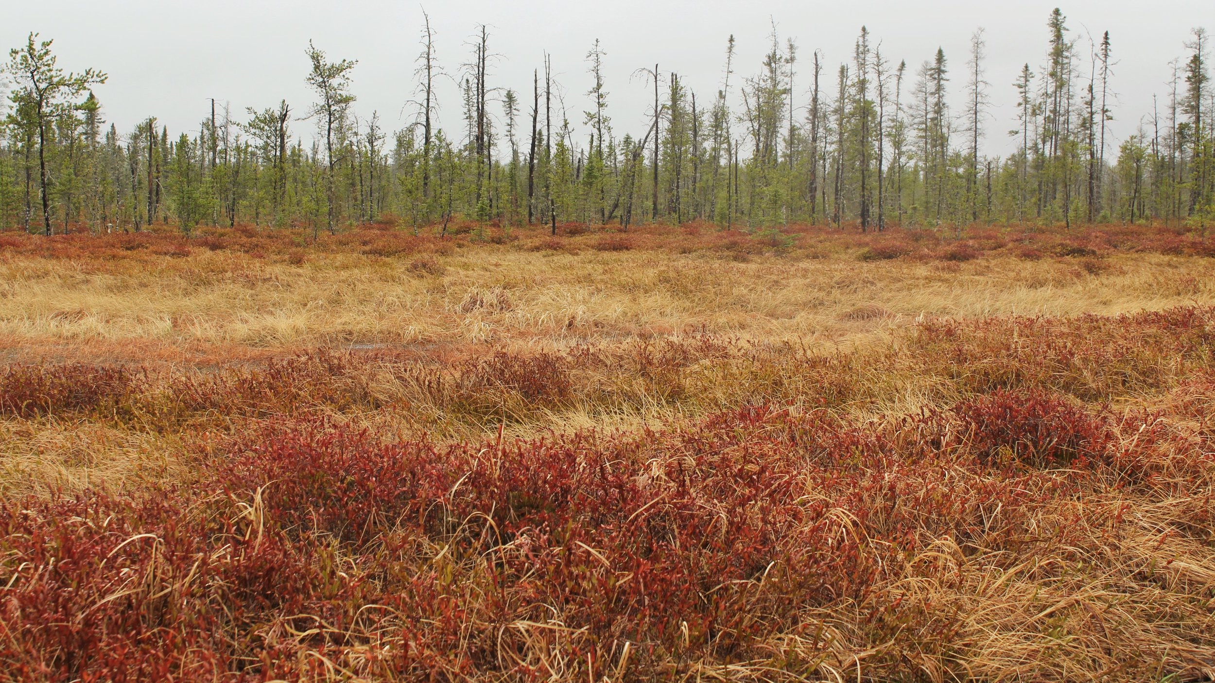
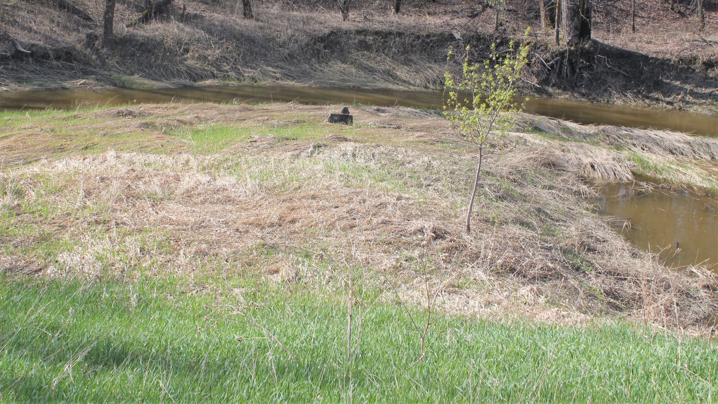
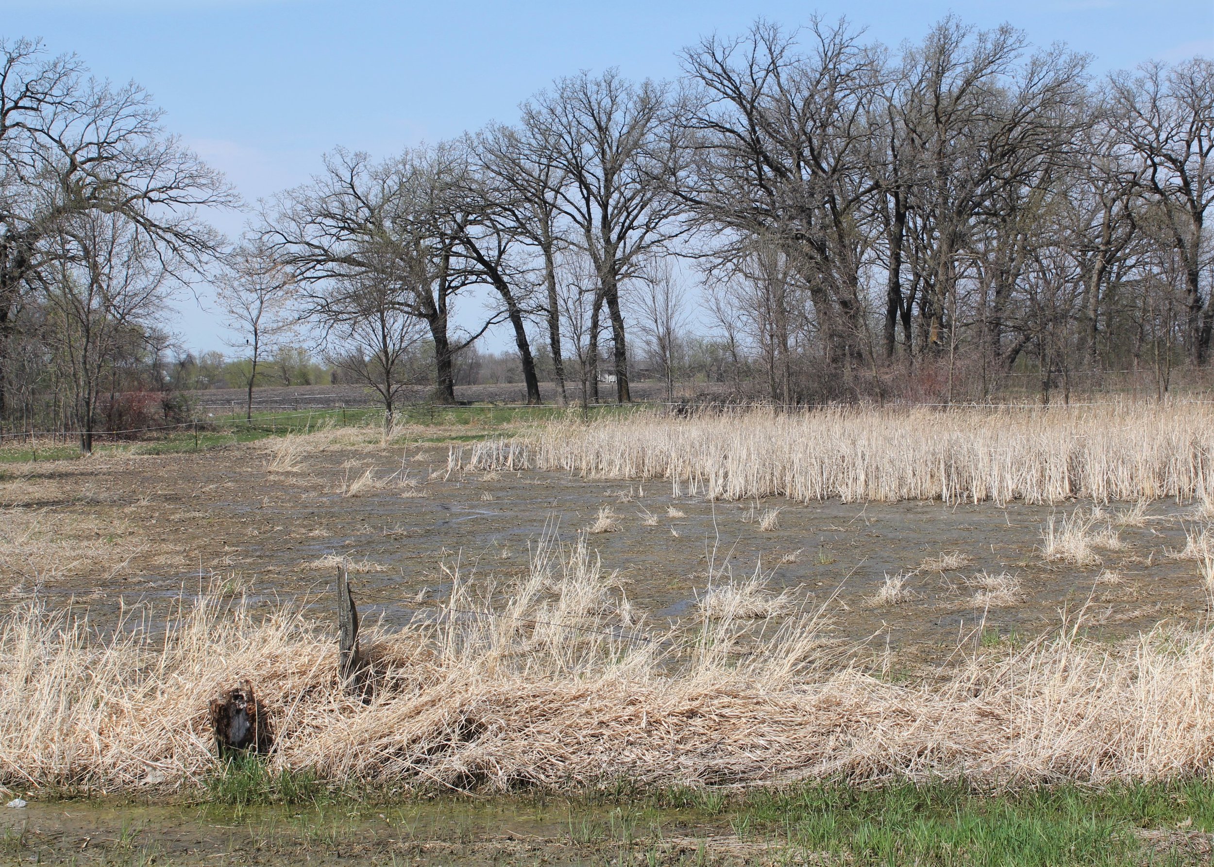
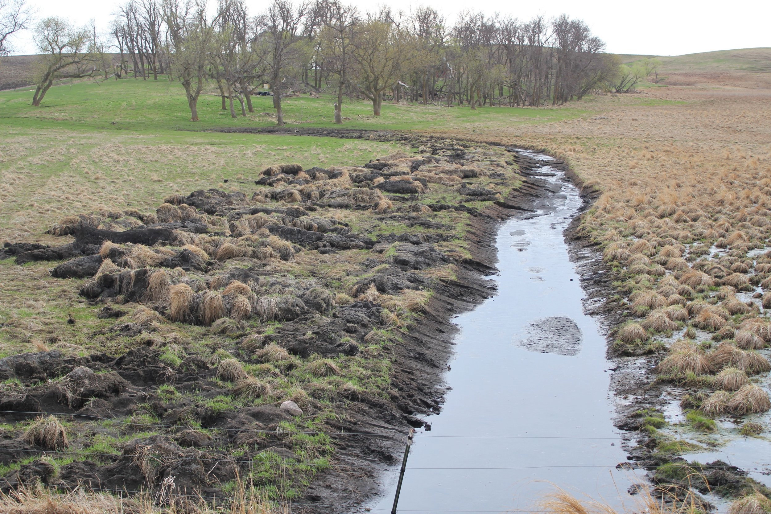
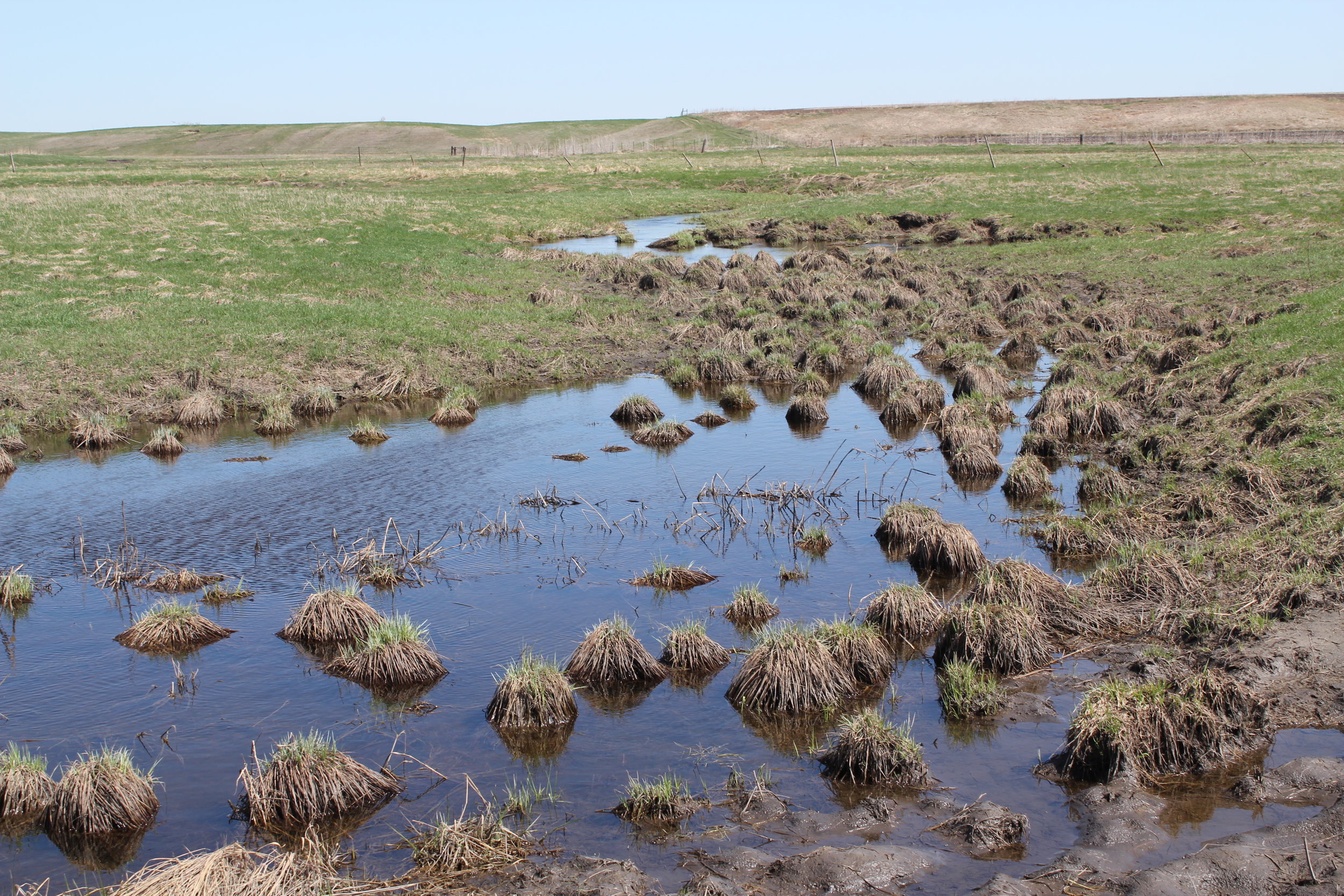
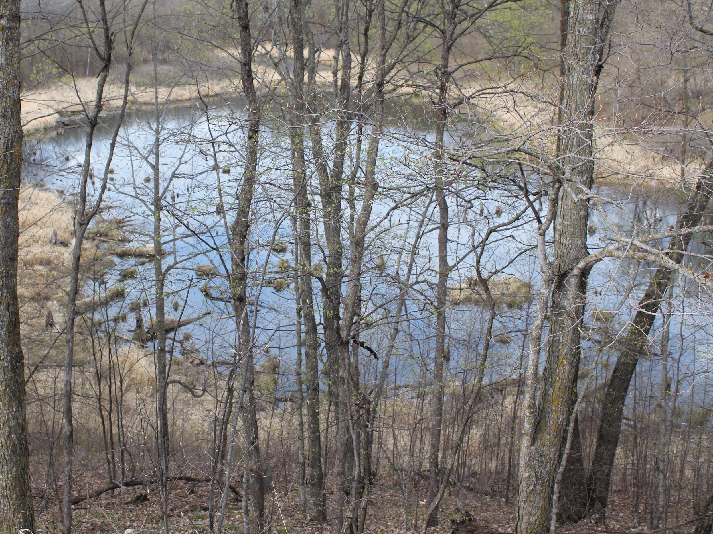
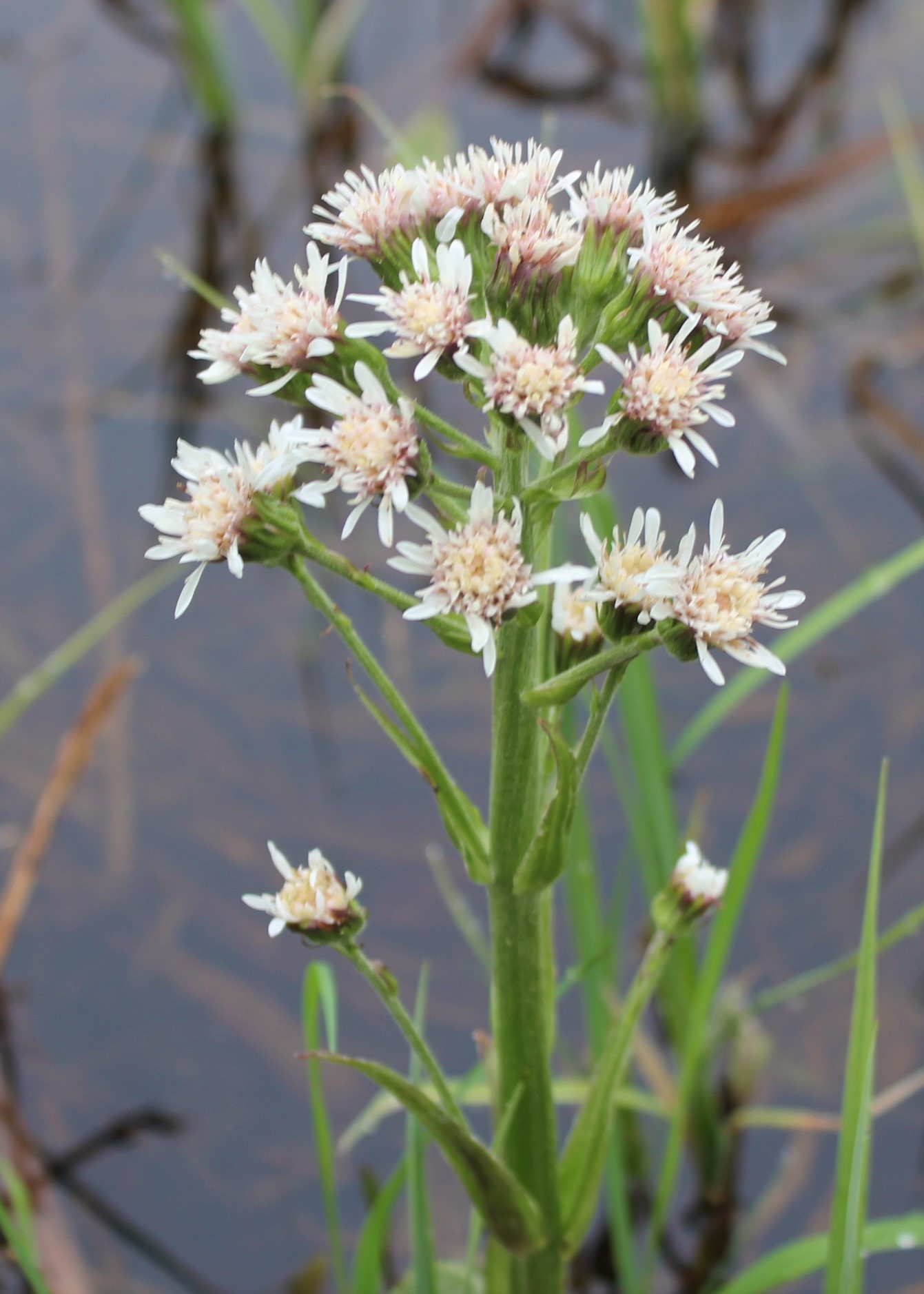
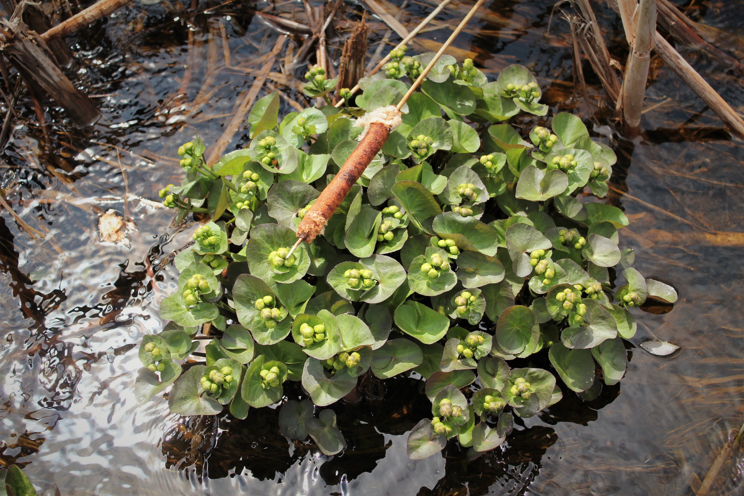
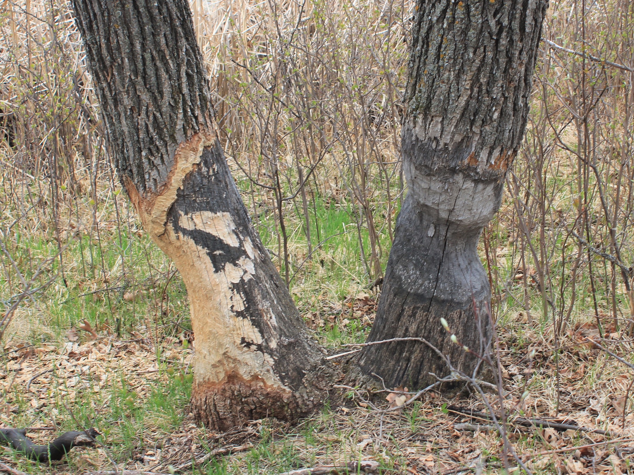
From May 7th through May 11th, GSS staff members David Rokus, Nick Lemcke, and Reed Fry traveled throughout the project area to pre-determined sites that contained recently updated NWI data. At each site, staff validated that the data properly reflected what was seen on the landscape.
The project will result in an update of 25 to 30-year old wetland data and will be integrated into the nation-wide NWI database, which is managed by the U.S. Fish and Wildlife Service (USFWS). National Wetlands Inventory Data can be viewed on the USFWS National Mapper.

