GSS Spotlight!
Reed Fry
Student Intern
What is your background in education and professional experiences?
In 2014, I received a B.S. Business Administration degree from Drake University in Des Moines, Iowa. I spent the following two years working as a commercial underwriter for a community bank. My internships in college included work in finance, marketing, and recruitment.
What made you get into GIS? More specifically, how did you get to Saint Mary's University of Minnesota (SMUMN) in Winona?
Maps have always intrigued me. They are an interesting blend of purposeful data representation and art. In December 2015 I discovered the field of GIS while speaking to a family friend and by the end of January 2016, I had already sent in my application to SMUMN. Before committing to the program, I visited Winona and was impressed with how beautiful the town was and how friendly the staff at SMUMN were. Speaking with John Ebert (GIS Dept. Program Director) during my visit erased any doubts I may have had to fully commit.
Explain briefly a project at GSS you've done that contributed to your GIS knowledge and skillset.
For a period of two months, I worked with Kevin Benck (GSS GIS Analyst) on a project with The Nature Conservancy to analyze the relationship between land cover and water quality protection in the Cannon and Zumbro watersheds of southeast Minnesota. I learned about appropriate data acquisition, hydrology analysis, elevation analysis, ensuring data integrity, and generating an articulate and comprehensive report for our client. I plan on using this analysis for my graduate project in order to receive my M.S. in GIS.
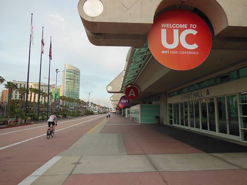
You were accepted into the Esri User Conference (UC) 2017 student assistant program! How did you hear about this position and what was your experience like?
I first heard about the Esri UC from Andy Robertson, the director of GSS, in December 2016. He referred me to Hannah Hutchins, a GIS Analyst at GSS, who attended the conference as a student assistant a few years prior.
My experience was very fulfilling! All 60 student assistants are considered Esri employees for the duration of the conference. While working a shift or taking advantage of my free time to explore the conference center, I met thousands of people from all walks of life from all over the world. I developed close connections with GIS professionals from 42 to 50 states and three foreign countries: Canada, Indonesia, and Switzerland. This does not include the close relationships that grew from working with my 59 student assistant peers. By the end of the conference, the student assistants became close friends. We keep in touch by using a group Facebook page. We plan on using the page to stay connected, discuss GIS topics and questions, and inquire about career advice!
How do you see GIS fitting into your future?
If GIS isn't all-encompassing, it's close. It can be used in many fields such as natural resource conservation, supply chain management, economic analysis, political analysis, emergency planning management, military operations planning, and urban planning. I hope to use my skills for natural resource conservation, economic analysis, or urban planning for my professional career. I can also use GIS in my free time! I recently reached out to one of my favorite authors who wrote a biography of Andrew Jackson. I would love to create an Esri Story Map that readers can use in conjunction with the book to help understand where and when Jackson was depending on the page the reader is on.

