Wyoming BLM Fieldwork
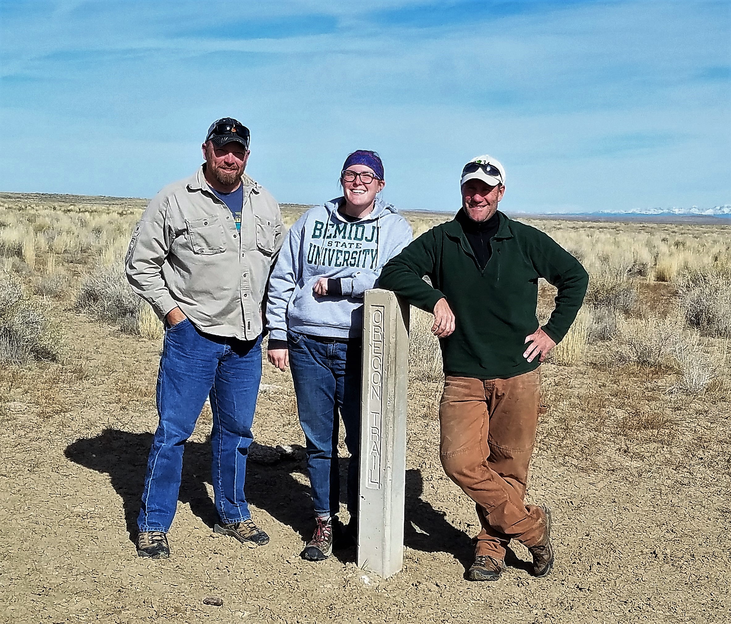
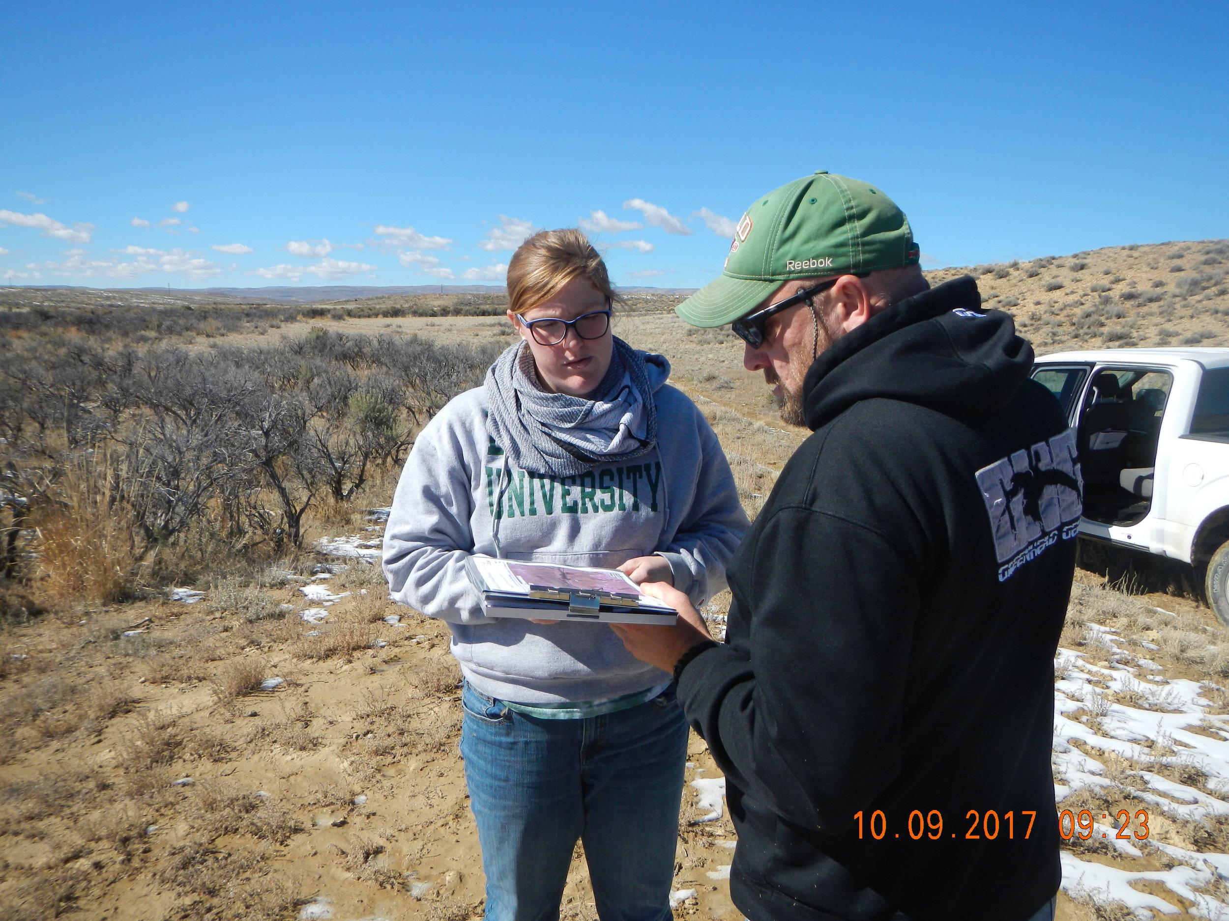
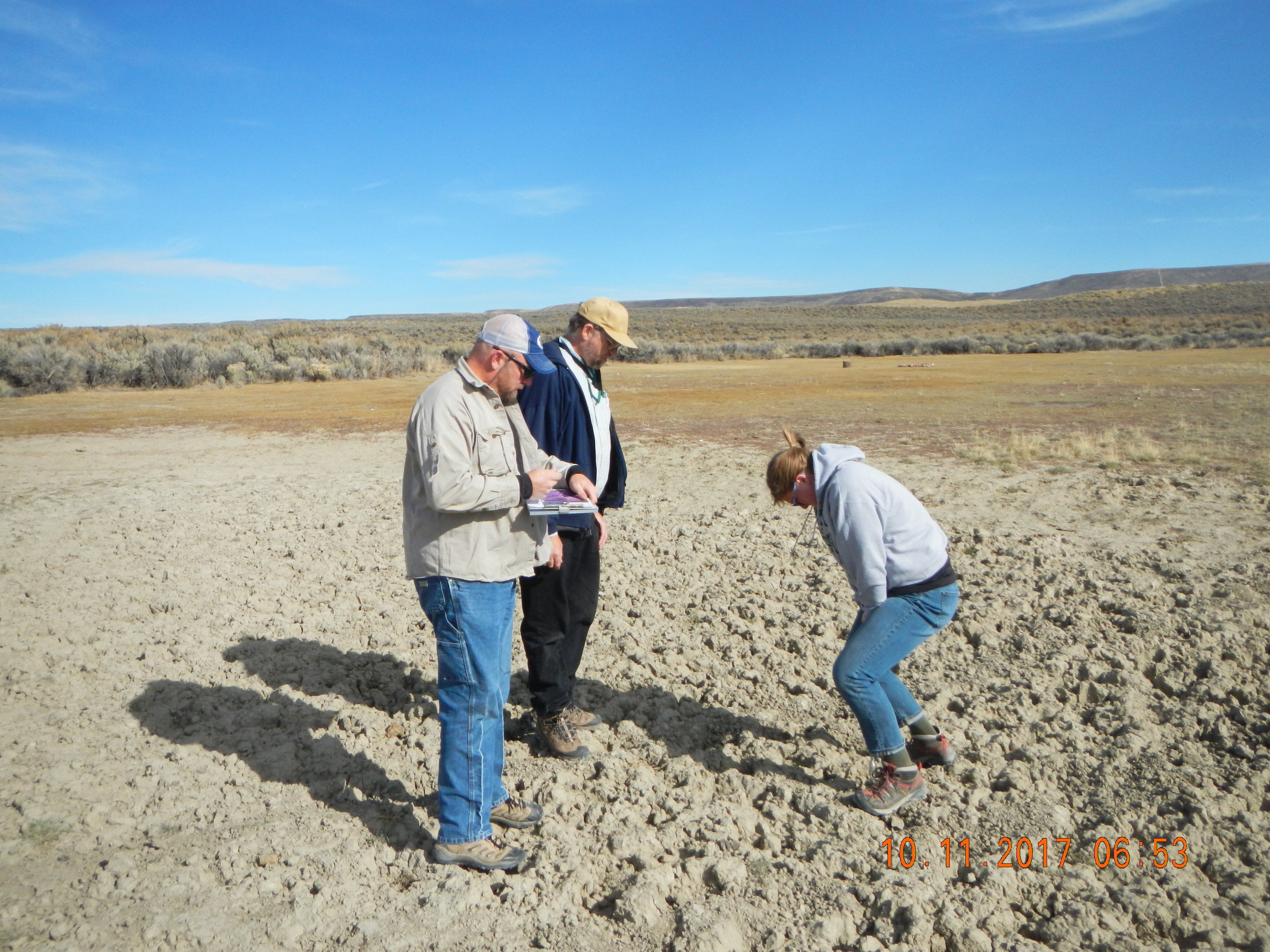
GeoSpatial Services staff members, Andy Robertson, Hannah Hutchins, and Eric Lindquist spent the week of October 9-13 doing pre-mapping fieldwork for the Bureau of Land Management Wetland and Riparian Area Mapping and Assessment Project.
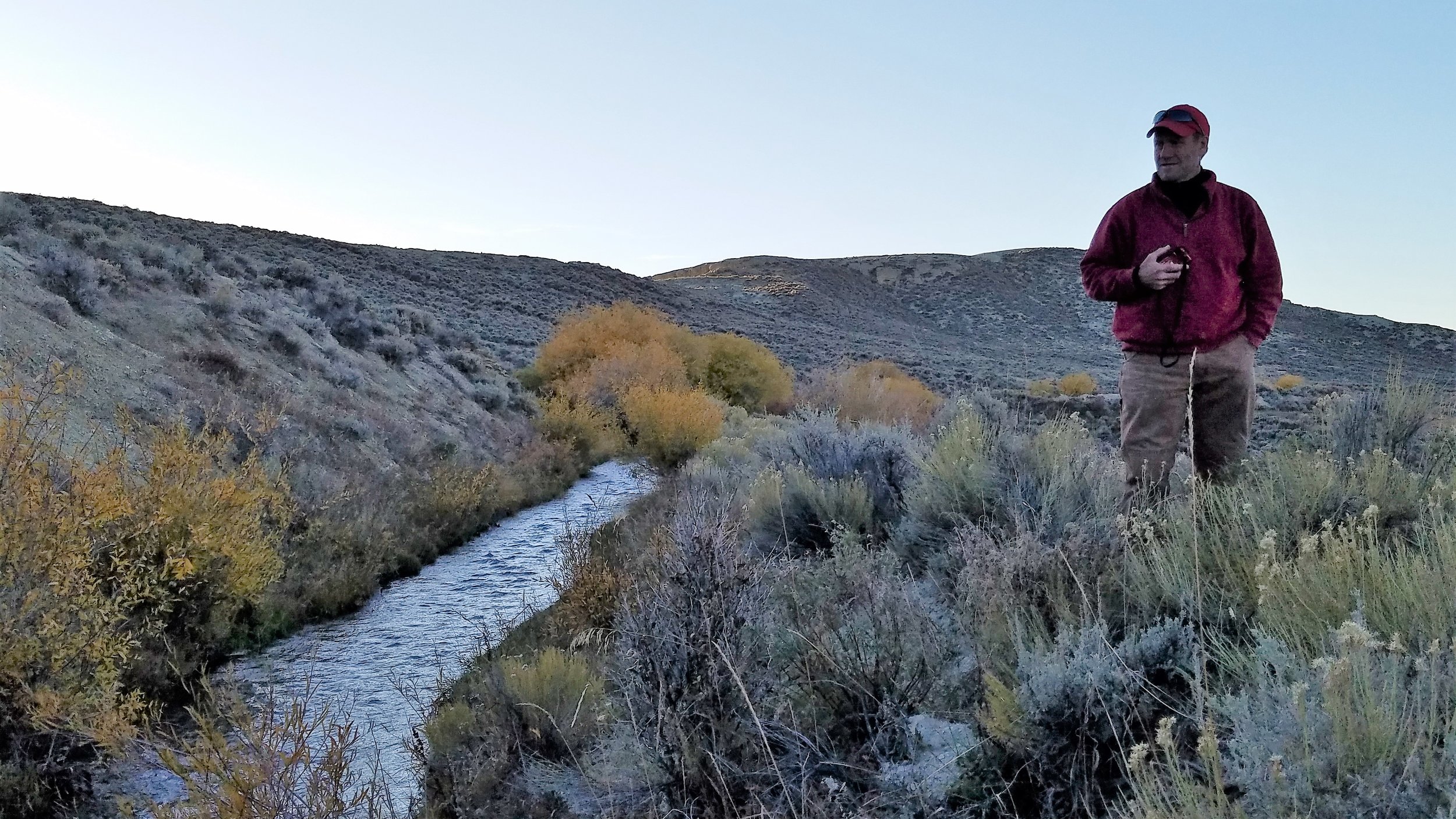
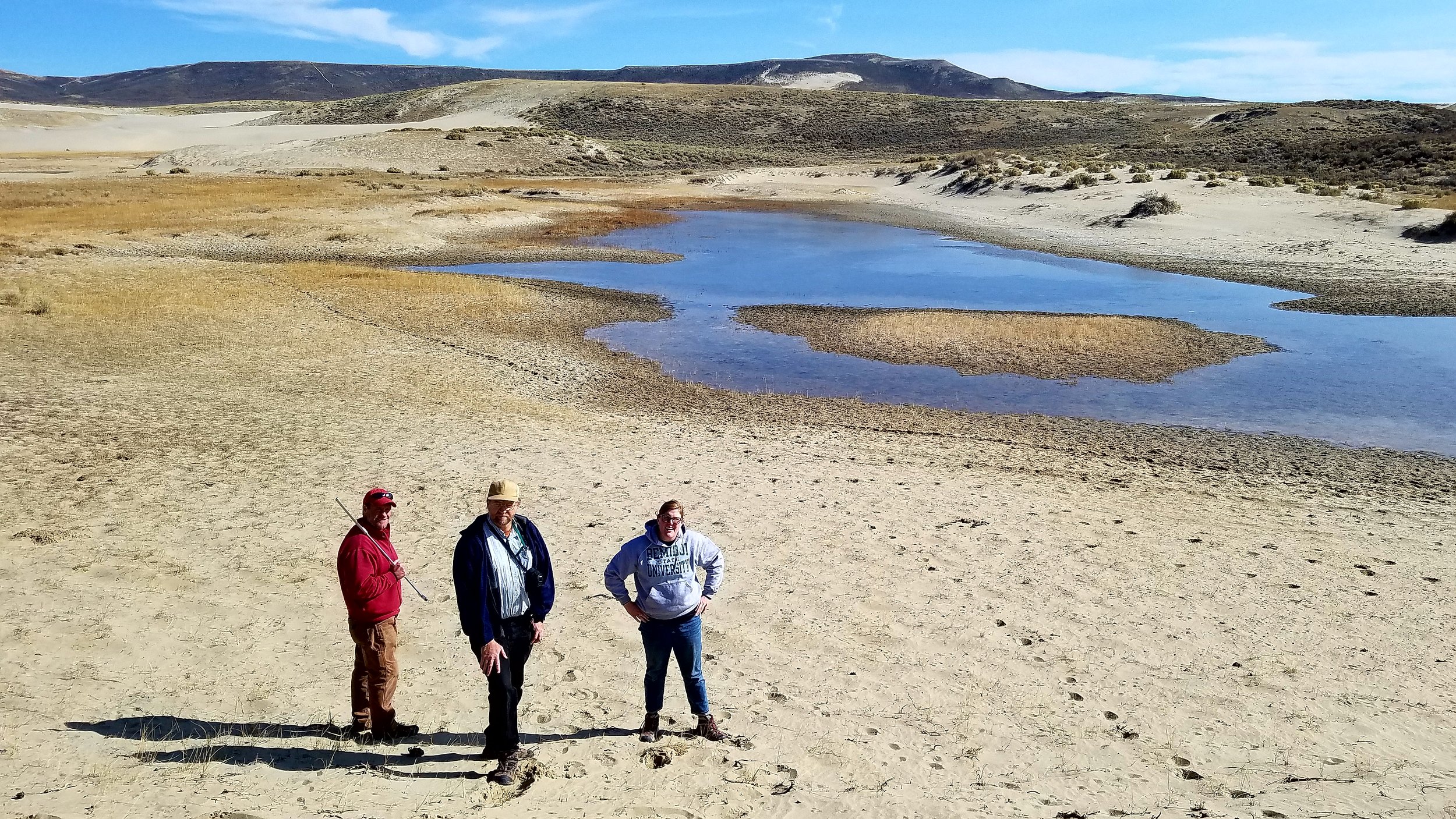
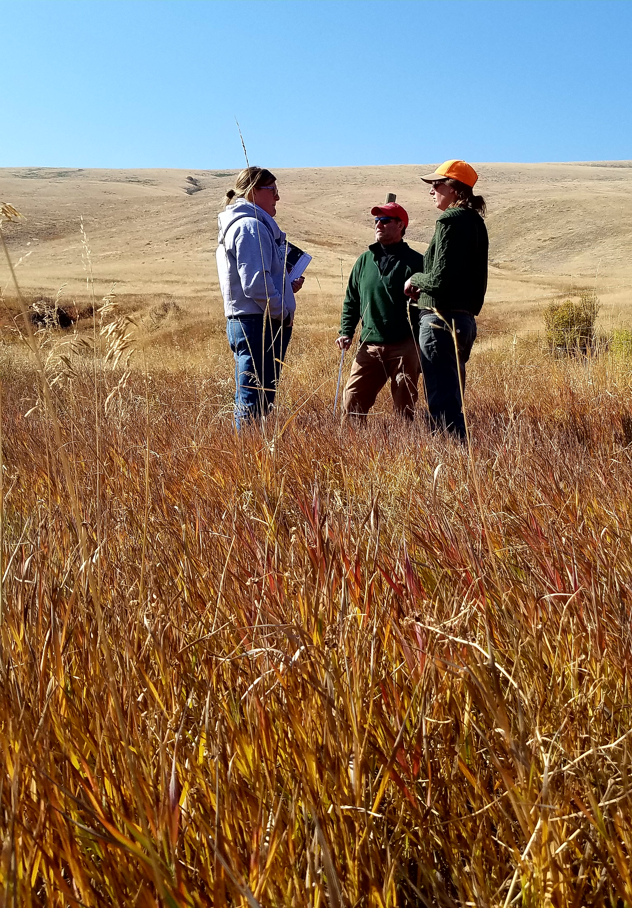
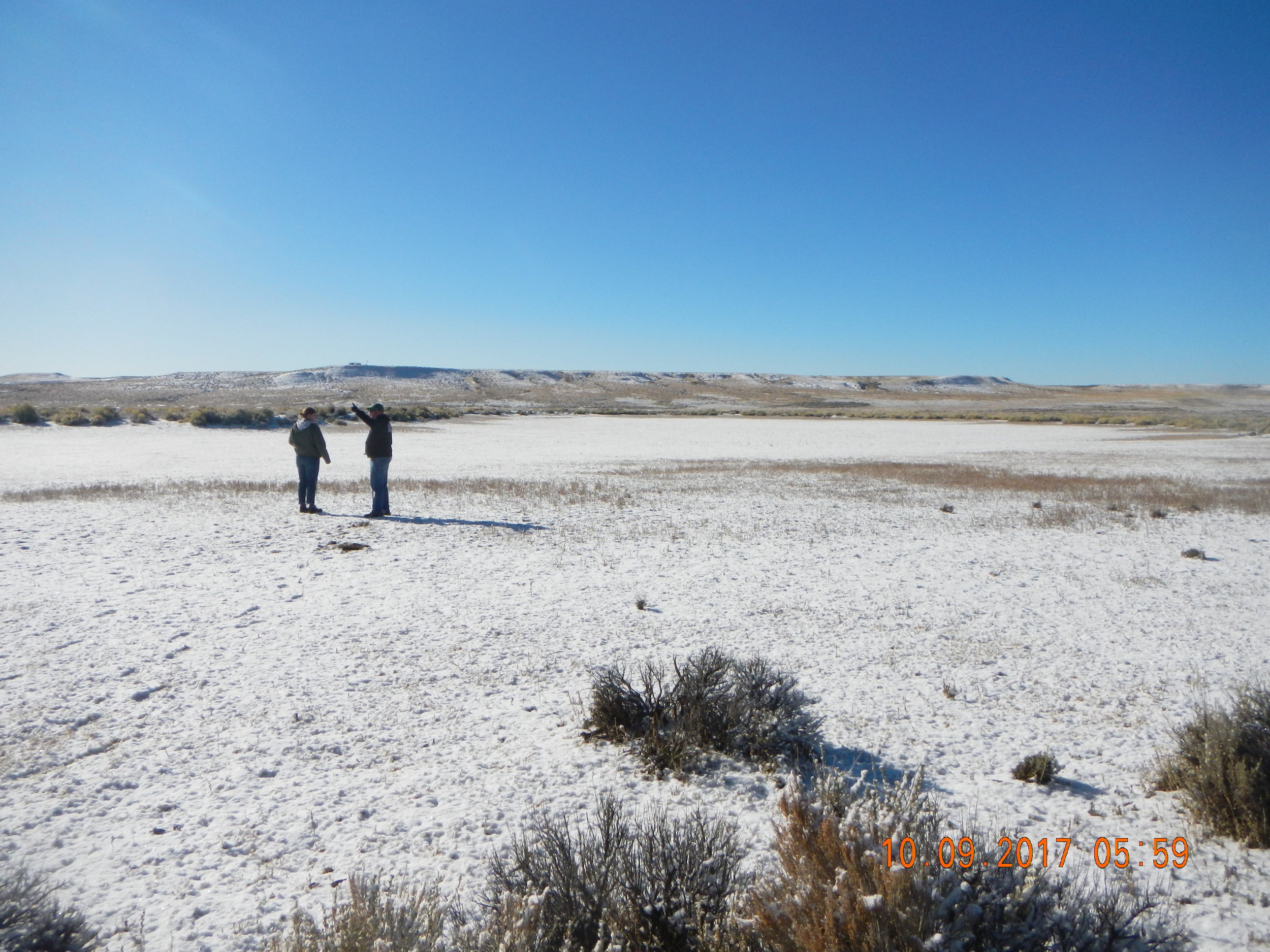
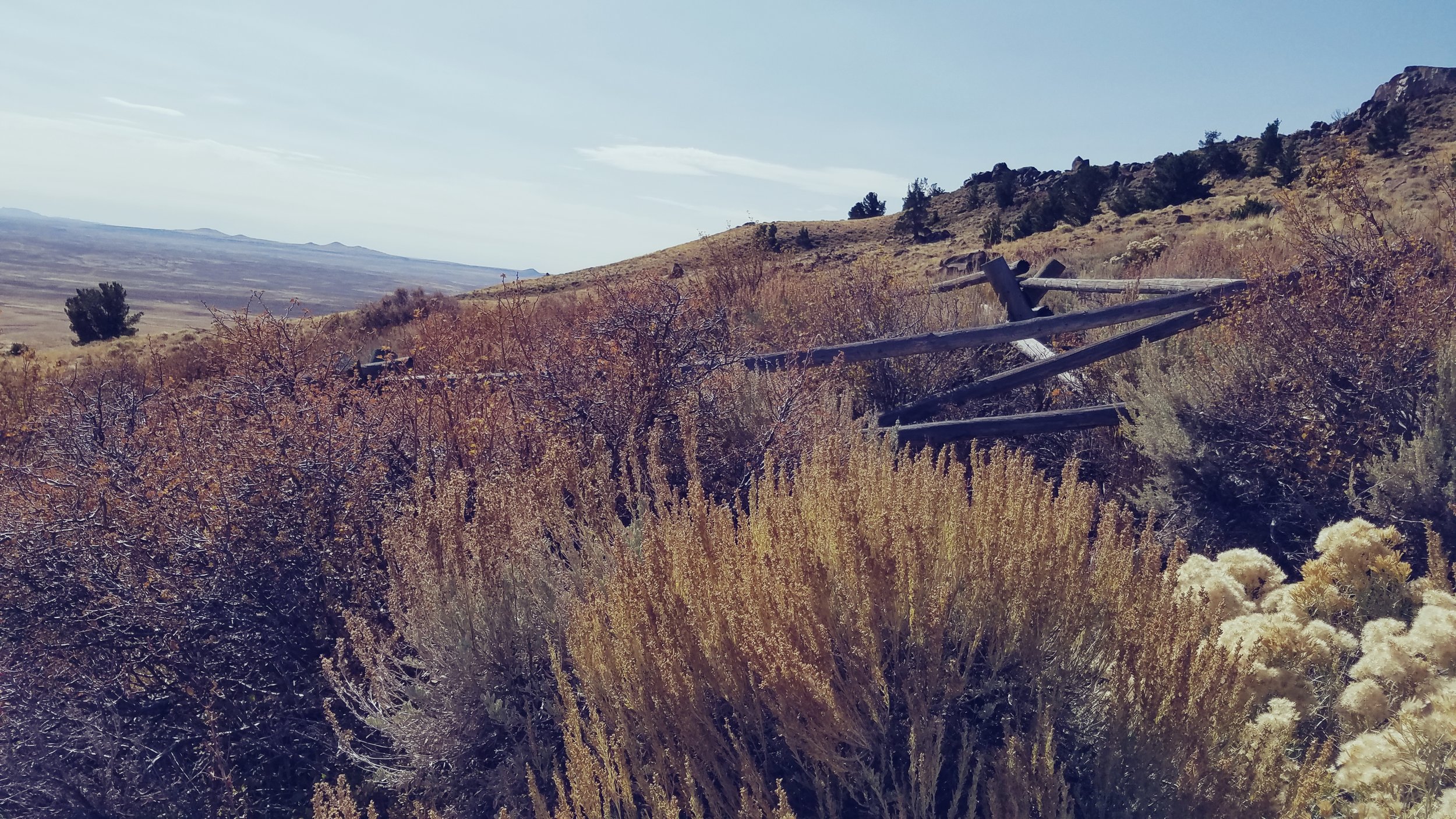
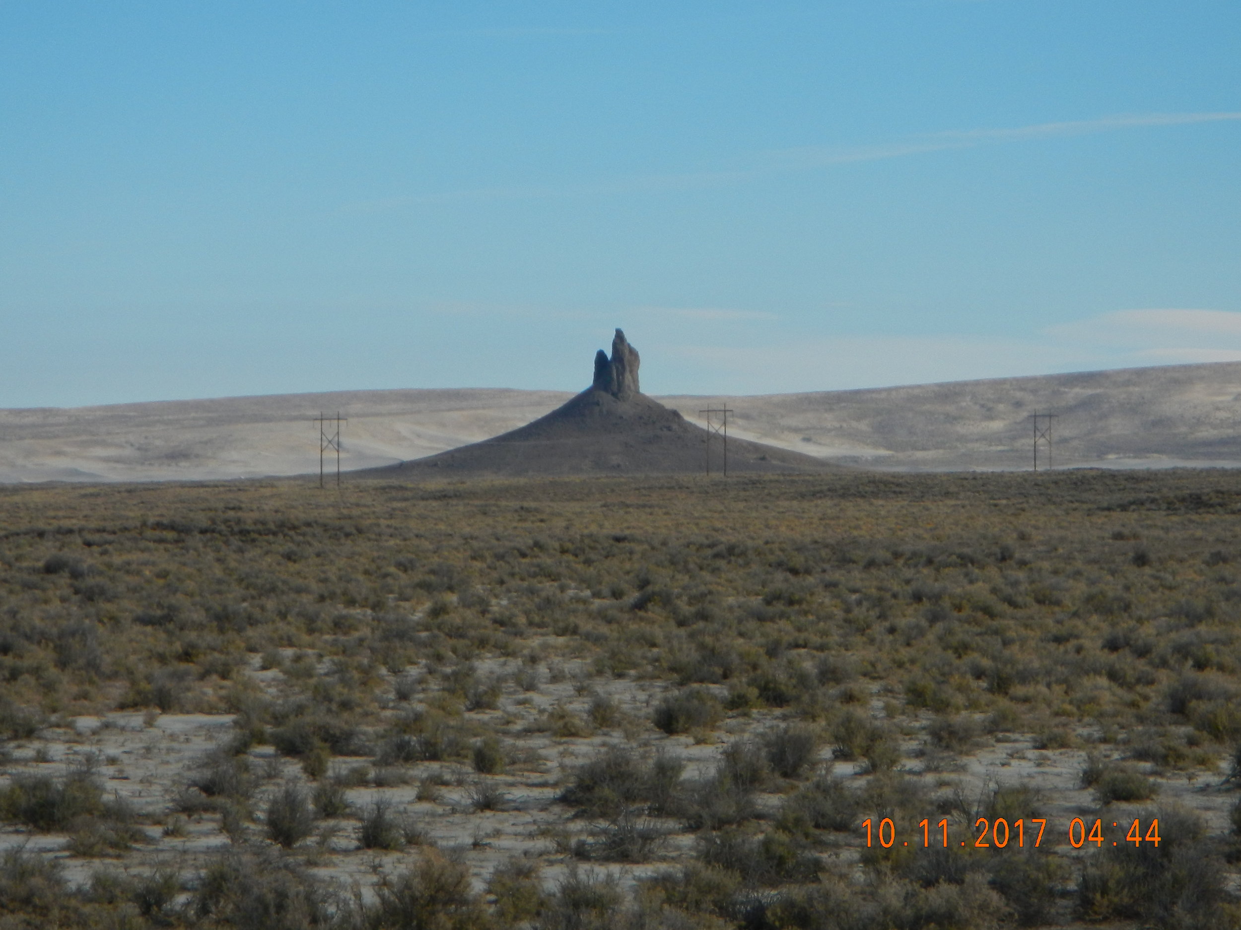
The team traveled the approx. 6.4 million acre study area that is often referred to as Wyoming’s Red Desert, located in south central Wyoming. Staff visited the unique landscape for the purpose of ‘ground truthing’ upcoming mapping in the area. This part of Wyoming includes areas of the Great Divide Basin, the Killpecker Sand Dunes and parts of the Oregon Trail, California Trail, Mormon Trail and the Pony Express. It is located at the base of the Wind River mountain range of the Rocky Mountains. GeoSpatial Services also met with members of the Bureau of Land Management and WYNDD (Wyoming Natural Diversity Database) while in the field to enhance understanding of the area.
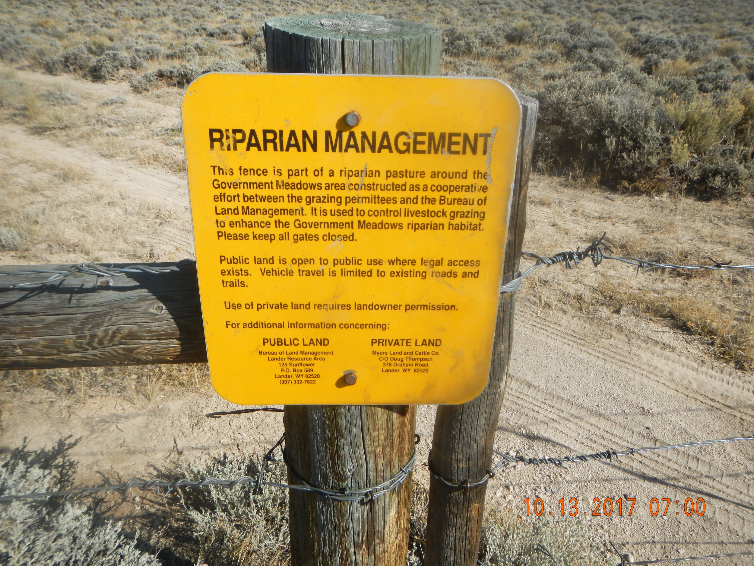
The geography of the study area has influenced much of its use, especially the water and land use. Ranching and oil/gas are the dominant economic activity. Cattle and humans share the varied water and land resources with elk, antelope and many other types of wildlife.
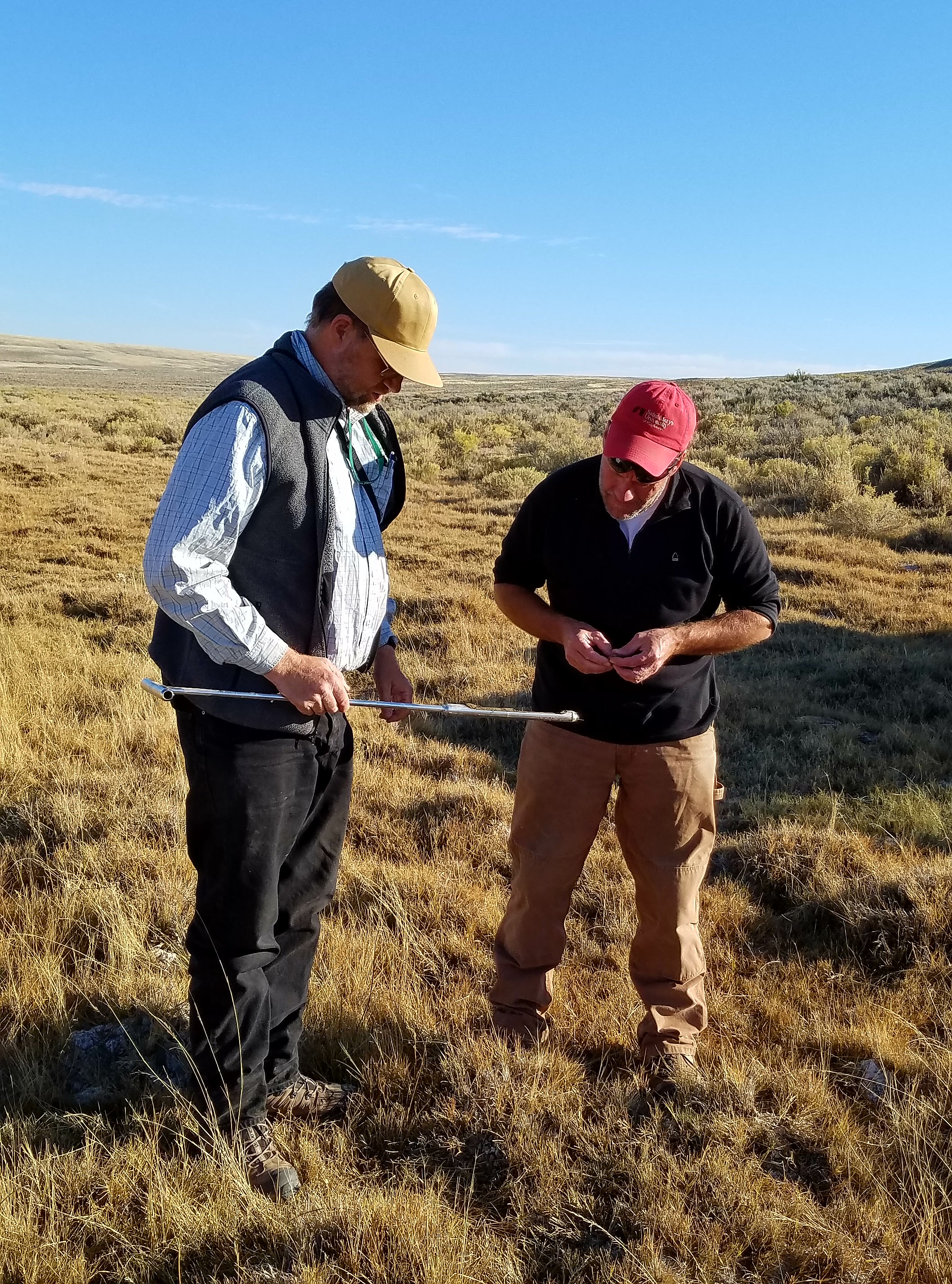
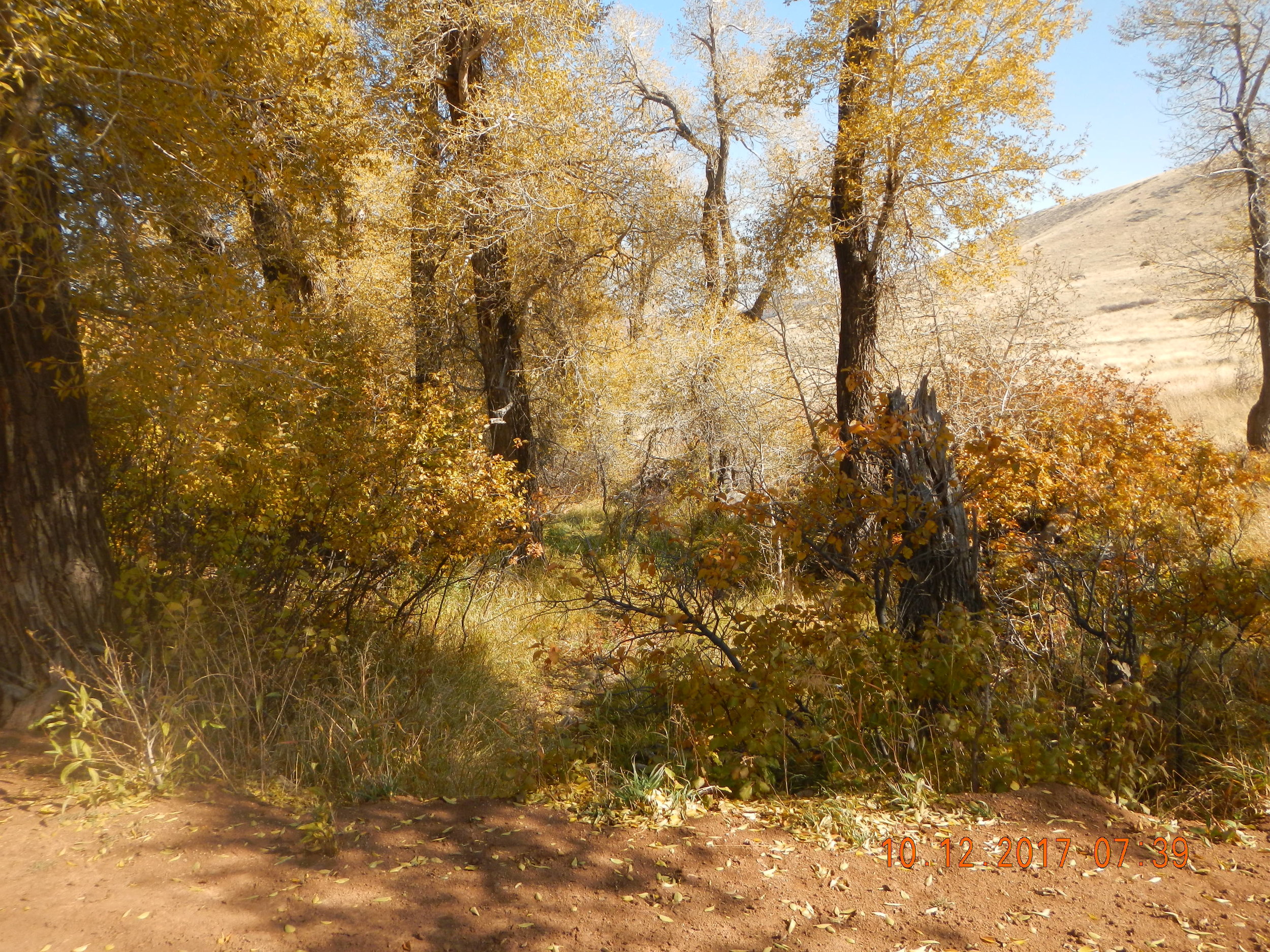
Dozens of different wetland sites were visited making it a priority to document the present plant species; how water is moving through and sitting in the wetland landscape; and what, if any, surrounding land use practices are potentially affecting the wetland feature at hand.
Once mapping and classifying these semi-arid west wetlands are complete, a wetland functional assessment will be performed to determine what services the wetlands can provide to the surrounding ecosystem.
