NEWS
Wetland Training for Tribal Watershed Staff
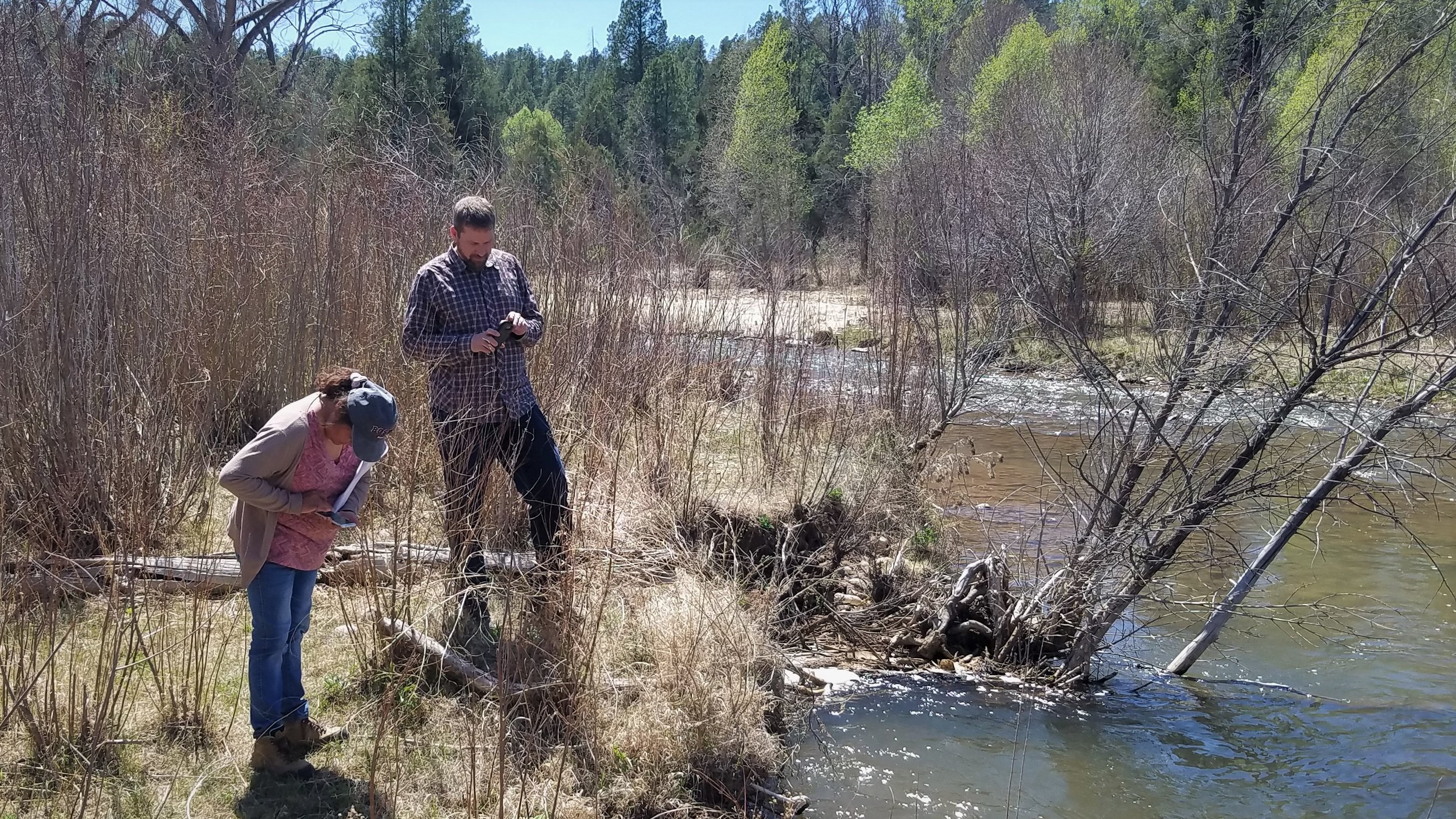
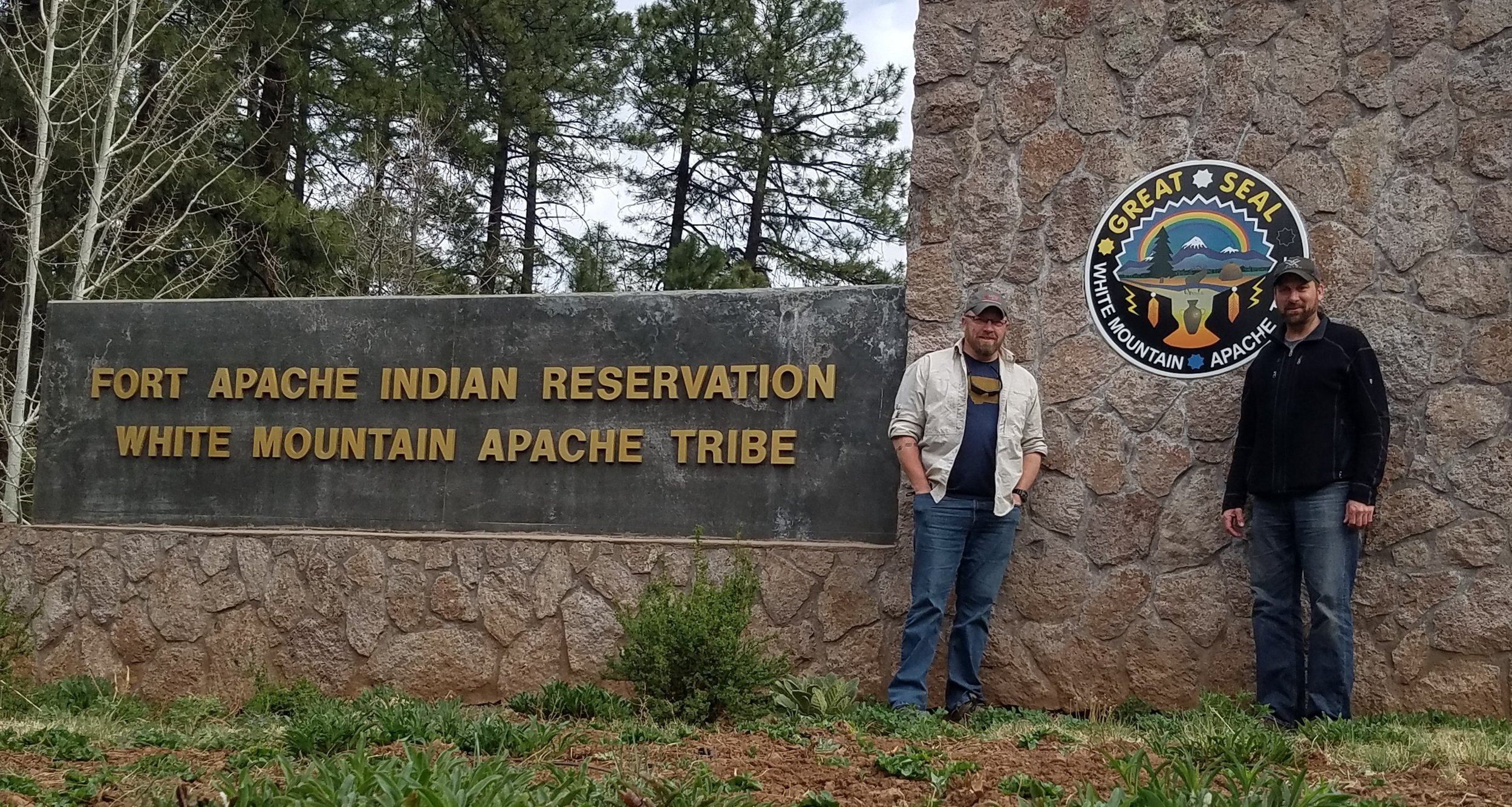
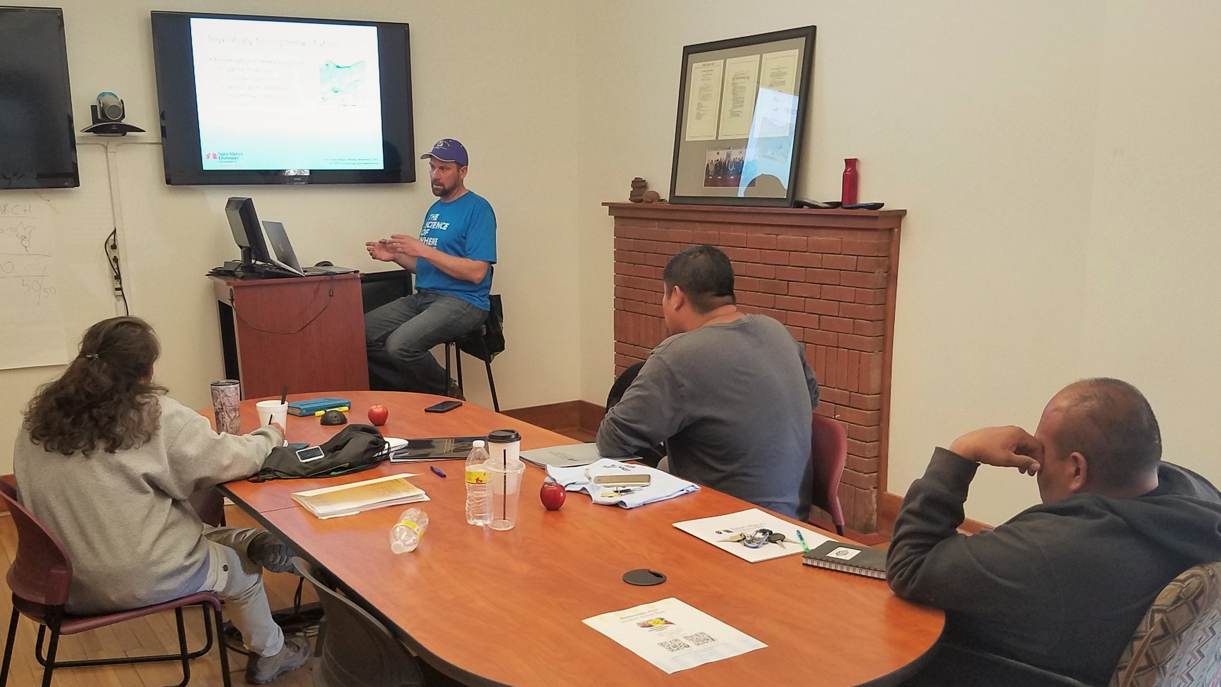
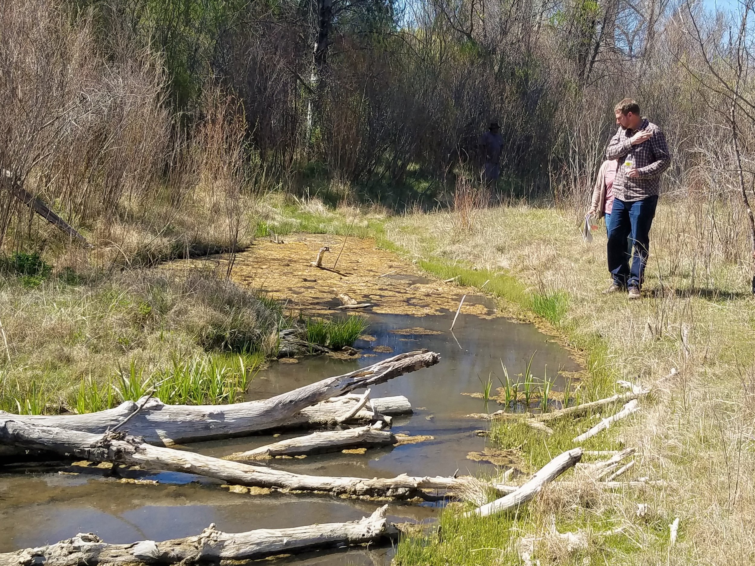
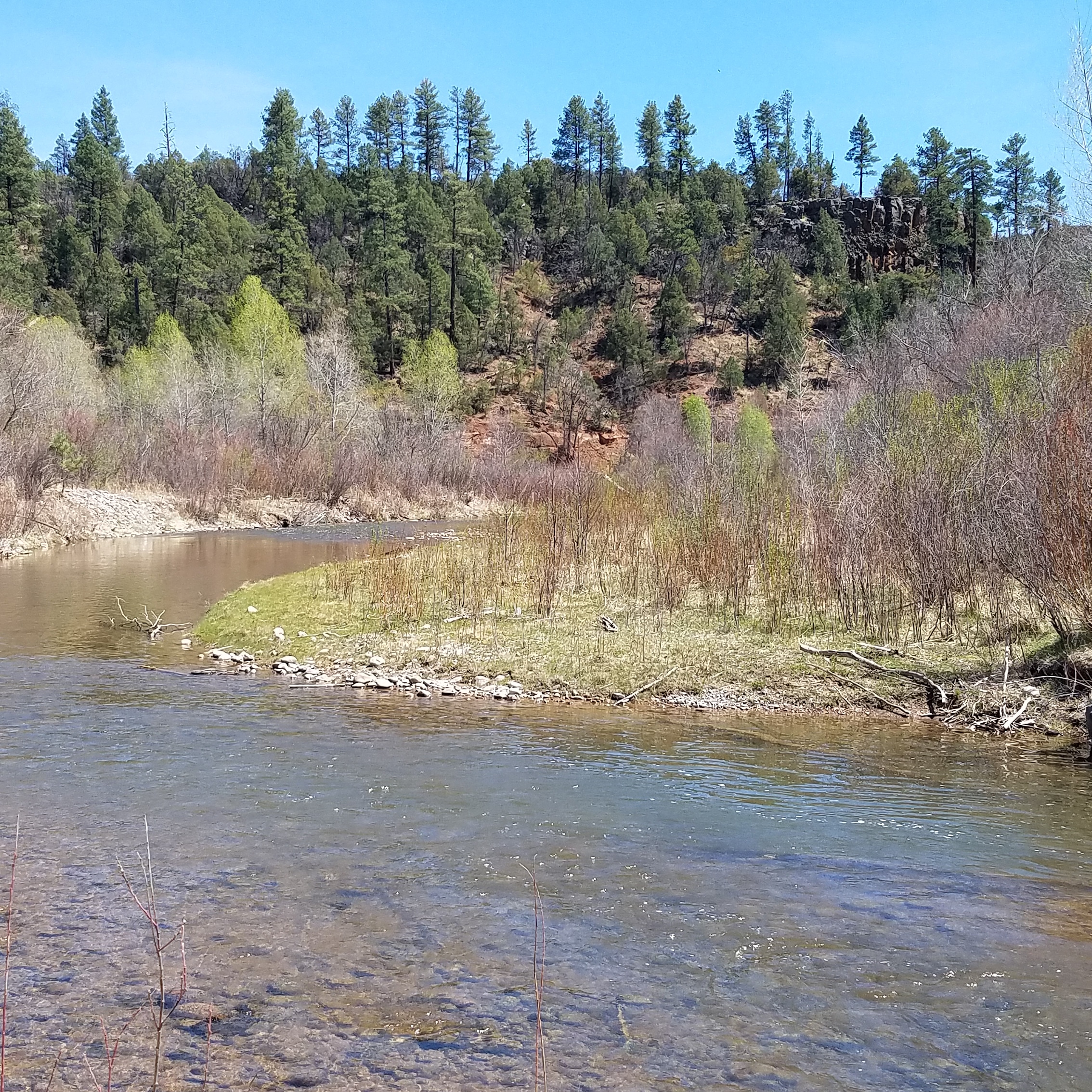
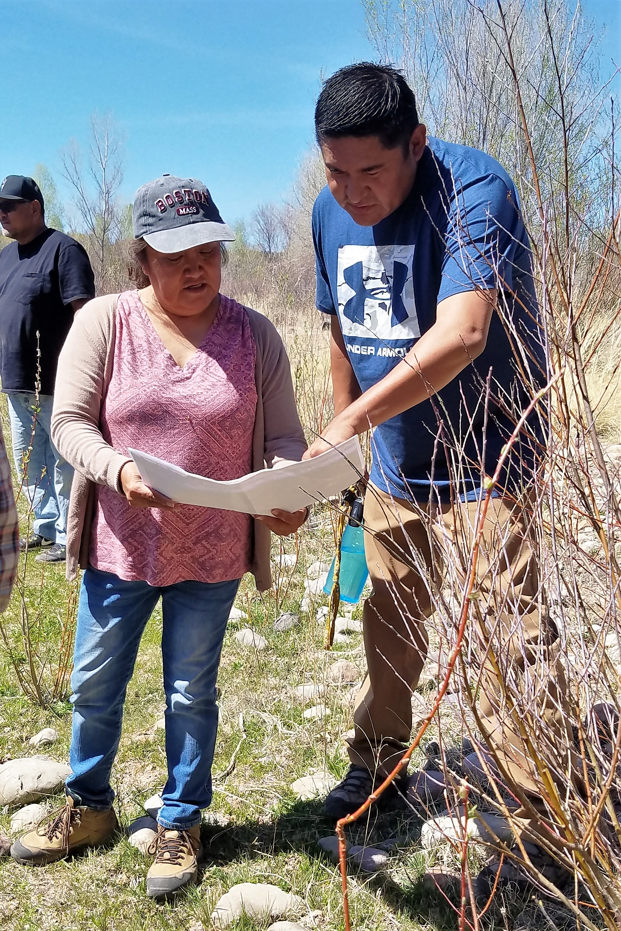
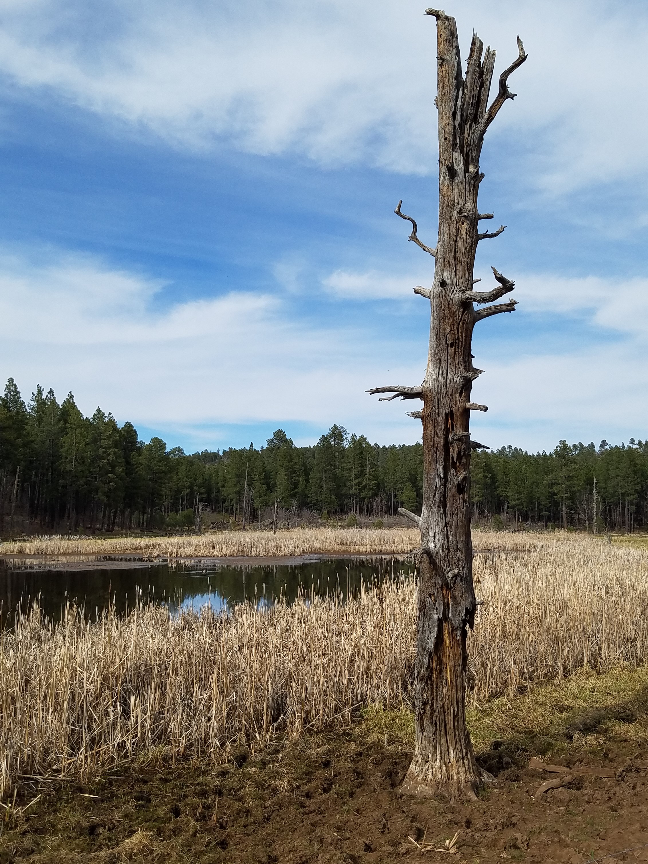
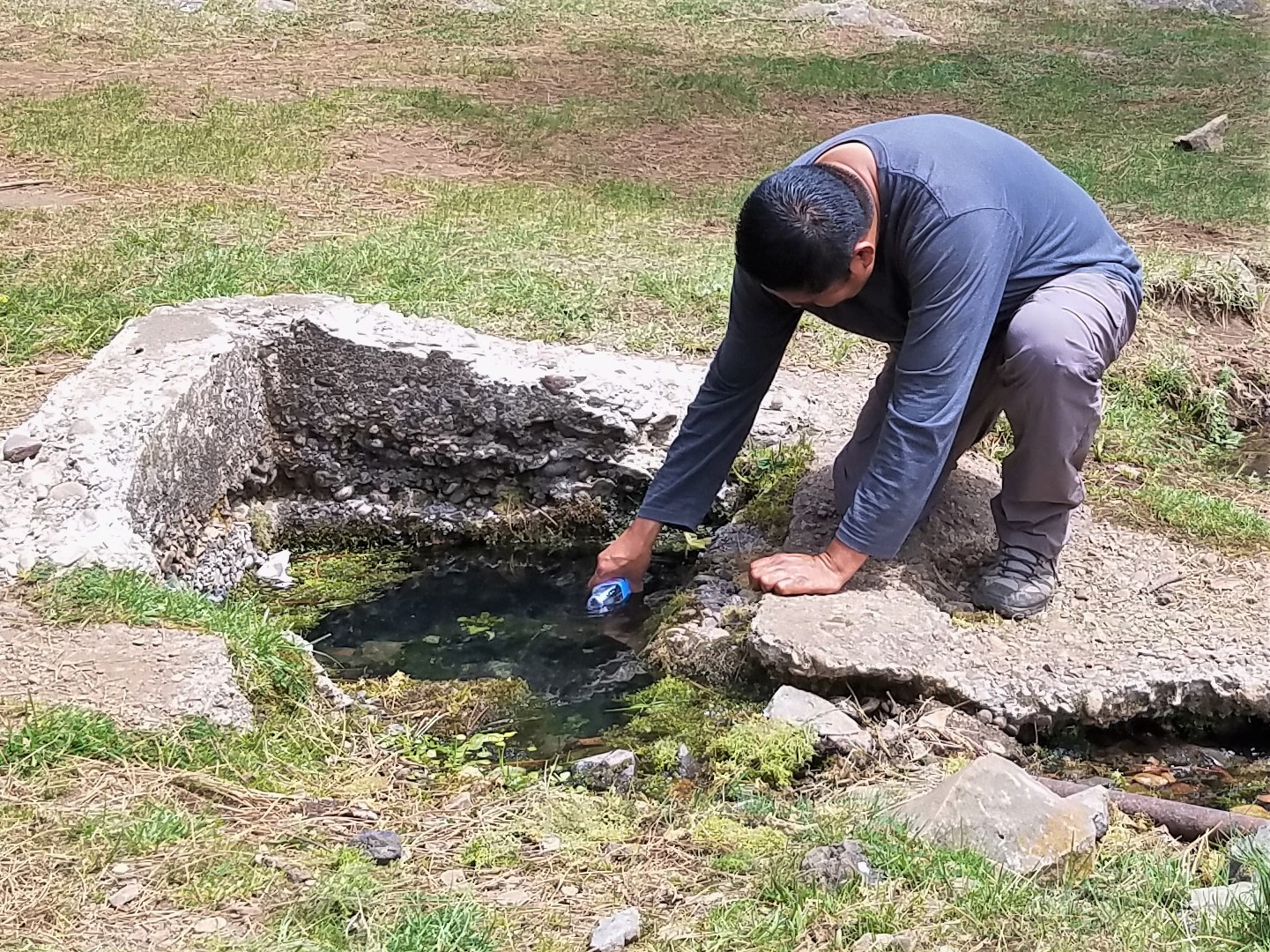
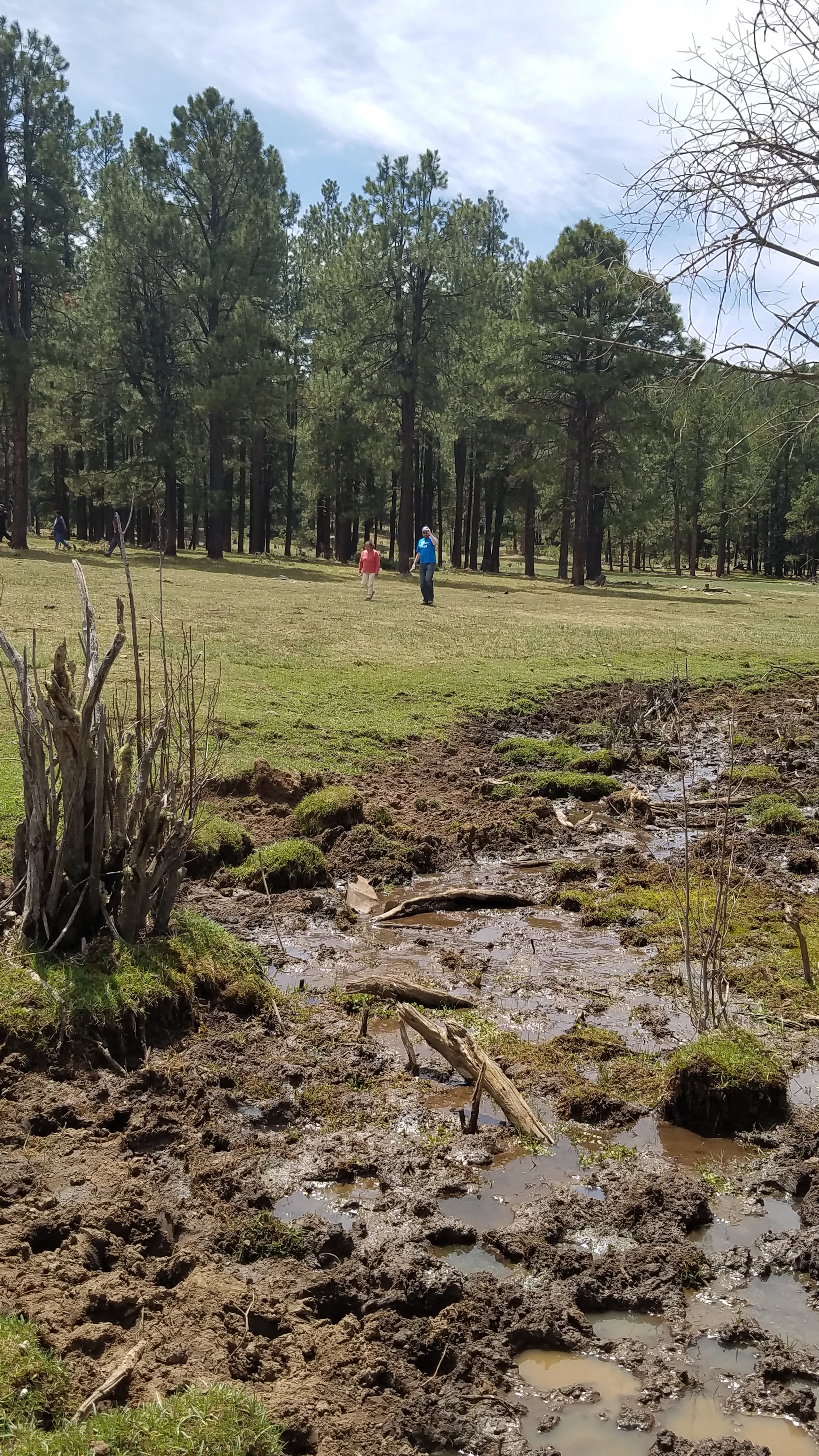
Kevin Stark and Eric Lindquist traveled to the Fort Apache Indian Reservation, home of the White Mountain Apache Tribe in Arizona.
Kevin and Eric provided training to Tribal watershed personnel including hydrologists, water quality specialists, and field technicians on updated wetland and riparian area data created by GSS. This training included an introduction to the wetland and riparian area classification systems (i.e. Cowardin et al. [1979] and Dick et al. [2009]), discussions and suggestions on using the data in conjunction with the Tribe's on-going spring inventory and water quality monitoring efforts, and how to use a GIS to gather needed information about the wetland landscape. They also discussed how the data could predict wetland functions and how this information could provide insight on where the Tribe might engage in wetland protection, enhancement, and restoration.
The group also went around the Reservation visiting many spring-fed wetlands, streams, floodplains, cienagas, and restoration sites where knowledge gained in the training was put to use!
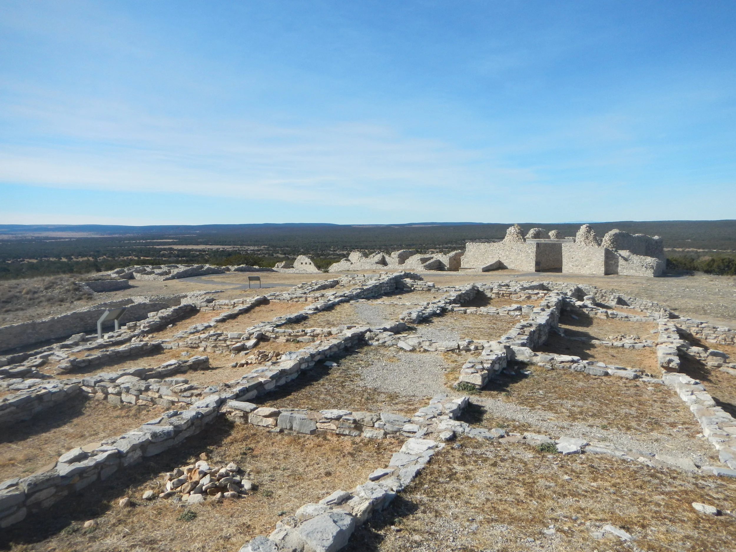
Salinas Pueblo Missions National Monument
At the end of January, Andy Nadeau and Kathy Allen traveled to central New Mexico to kick-off an NRCA for Salinas Pueblo Missions National Monument. The Monument consists of three distinct units, each supporting the ruins of the 17th-century Spanish mission and historic Native American pueblos. While Salinas Pueblo Missions is known for it's cultural resources, it also supports a diversity, from the pinyon-juniper woodlands common to the New Mexico mountains to rarer cottonwood groves along natural drainage areas. The wooded area provides habitat for a variety of birds as well as mammals including black bears, elk, pronghorn, and bobcats. The Monument also contains numerous Permian fossils (plants, marine organisms, insect trackways) and is a Certified International Dark Night Sky Park. The highlights of the trip for Andy and Kathy were finding Native American pottery shards at the Gran Quivira Unit and seeing ancient petroglyphs (rock carvings) at the Abo Unit.
Gran Quivira Unit


Abó Unit


Quarai Unit


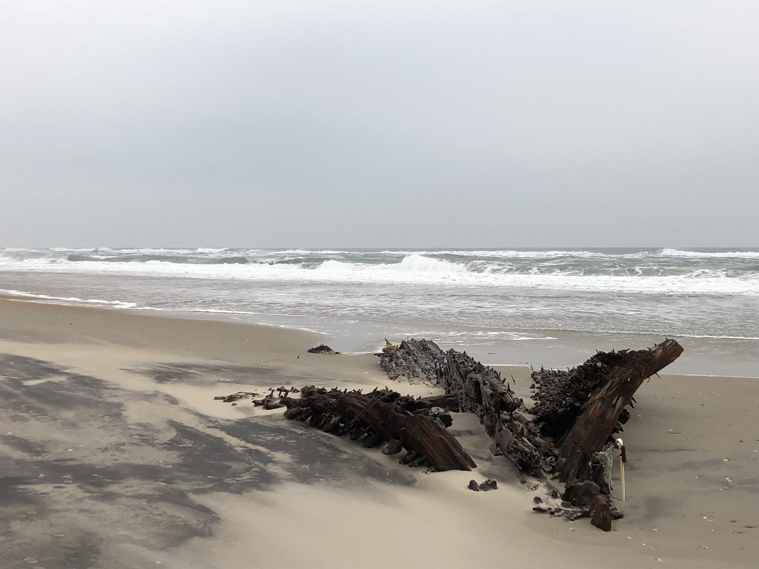
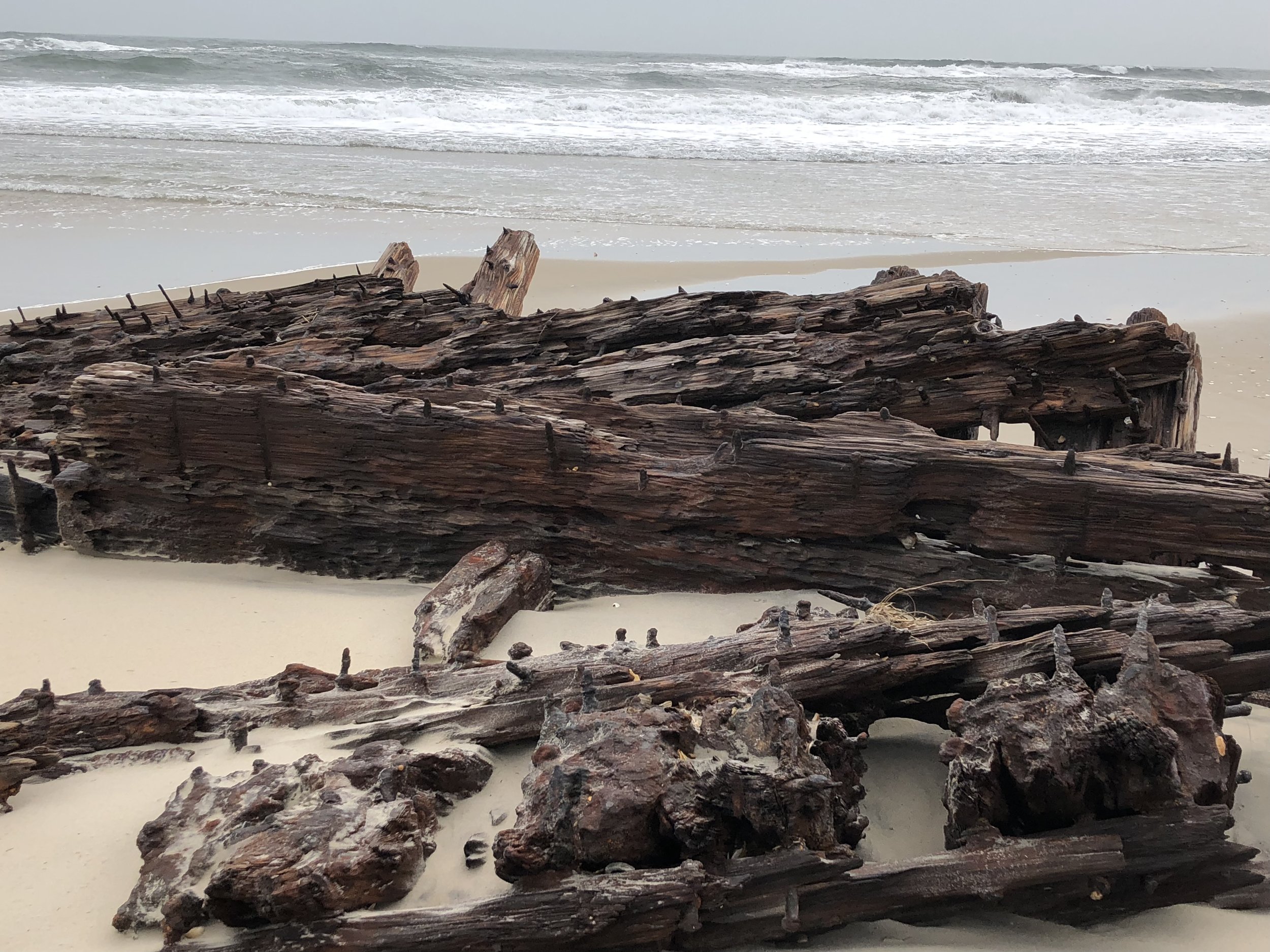
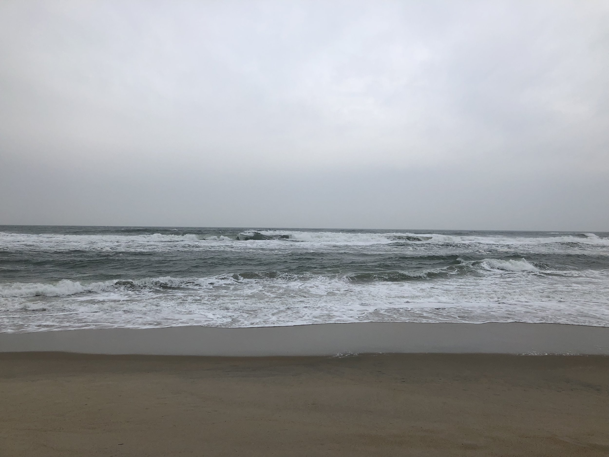
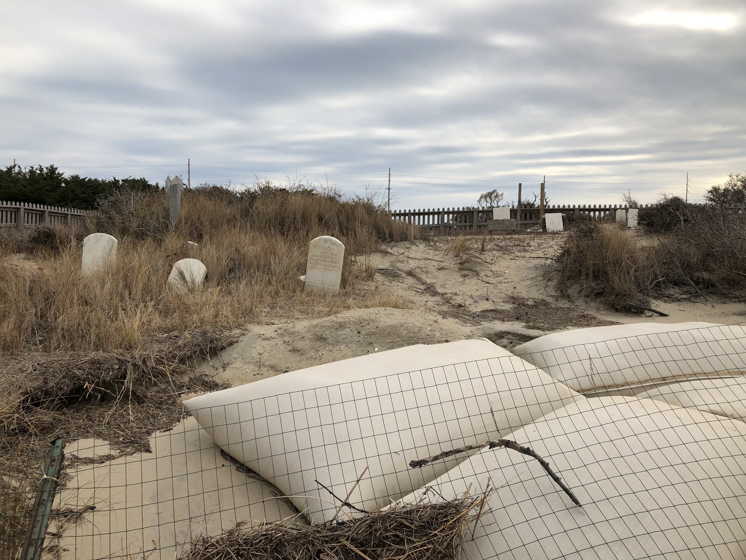
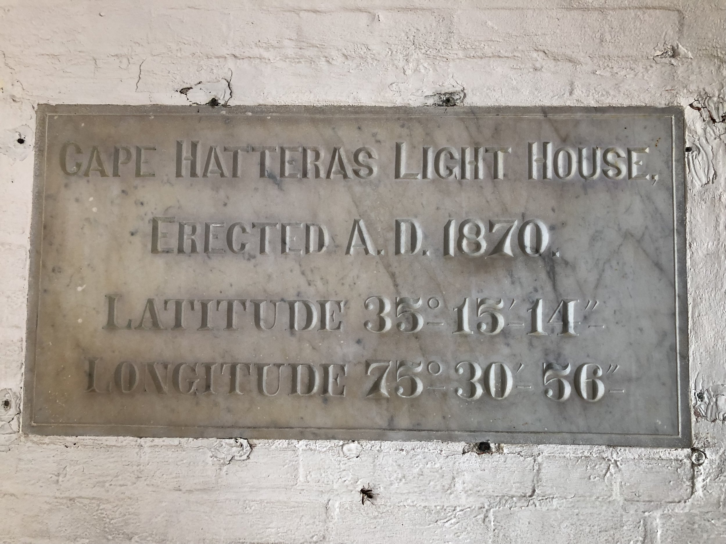
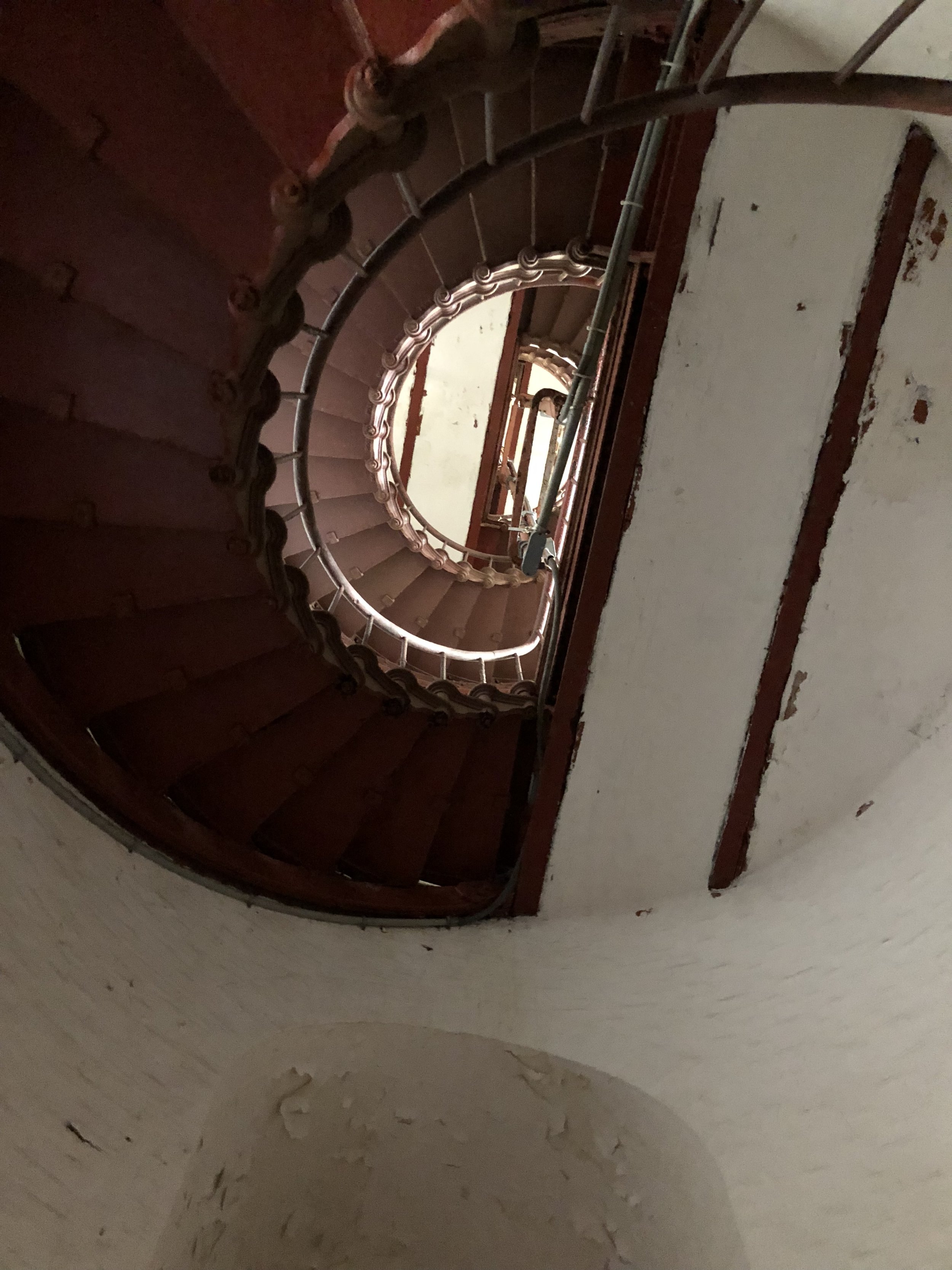
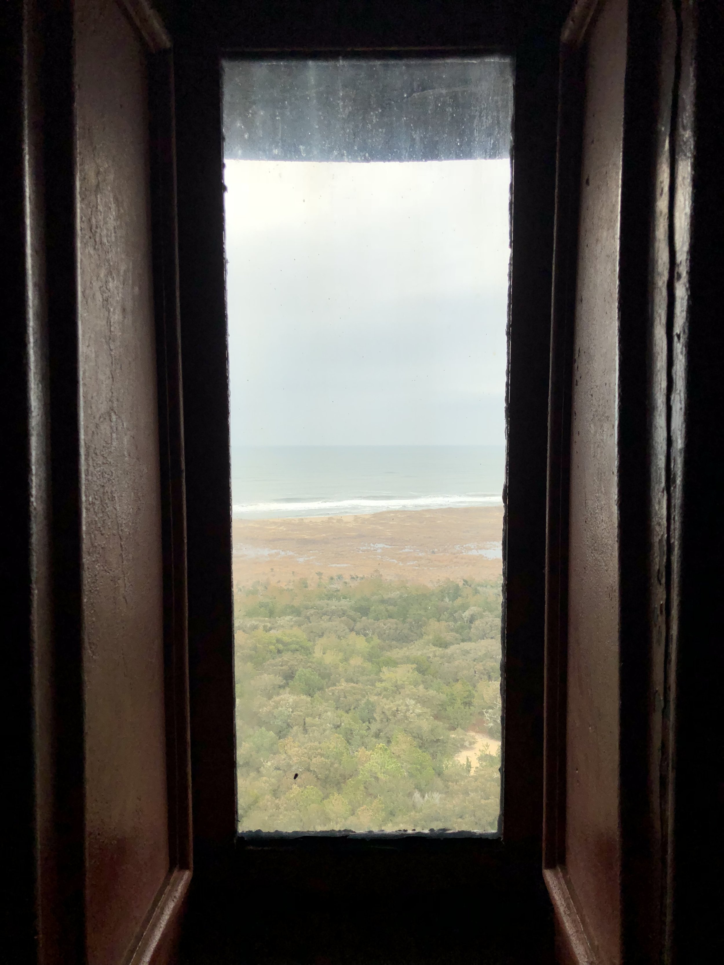
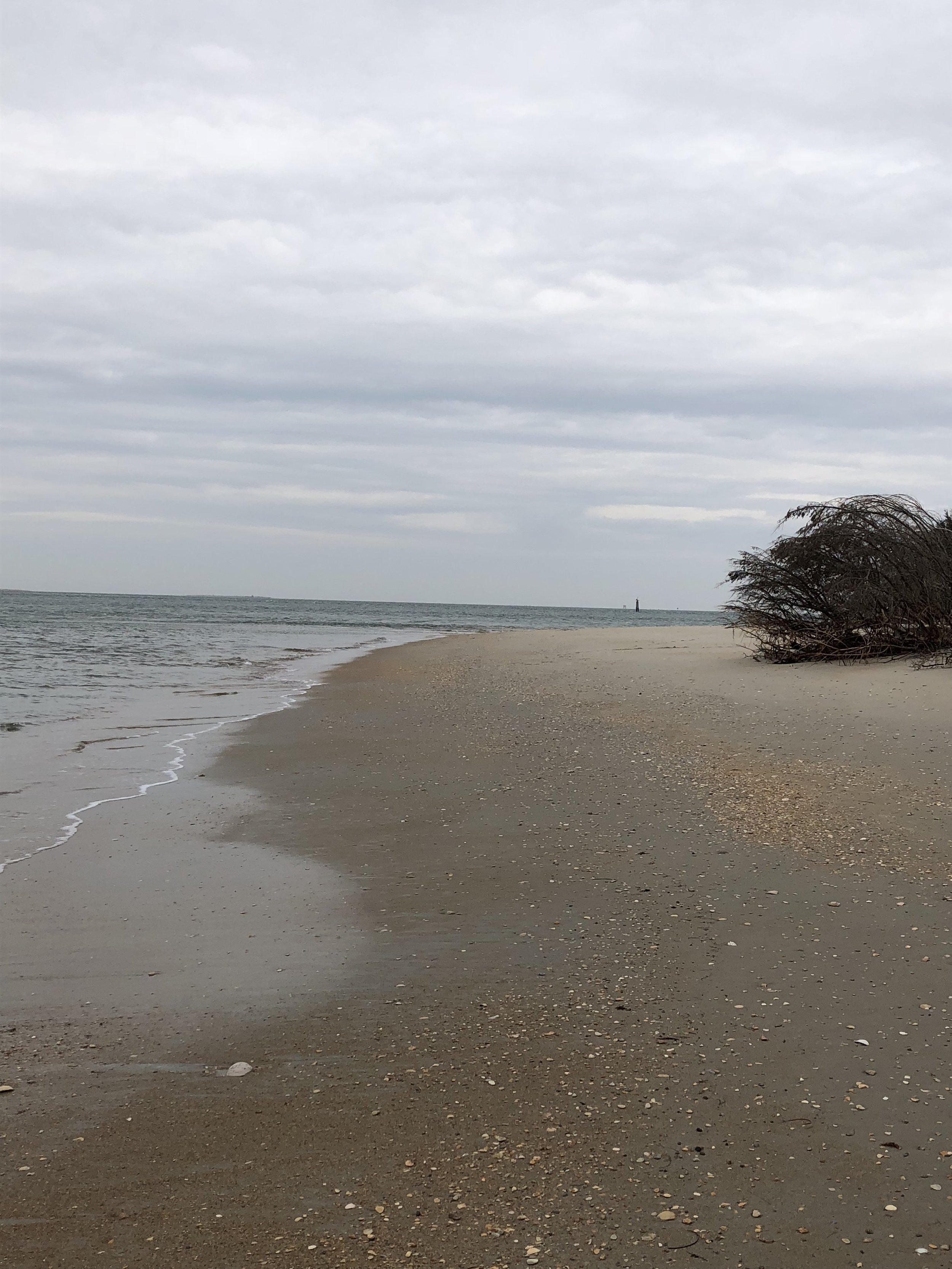
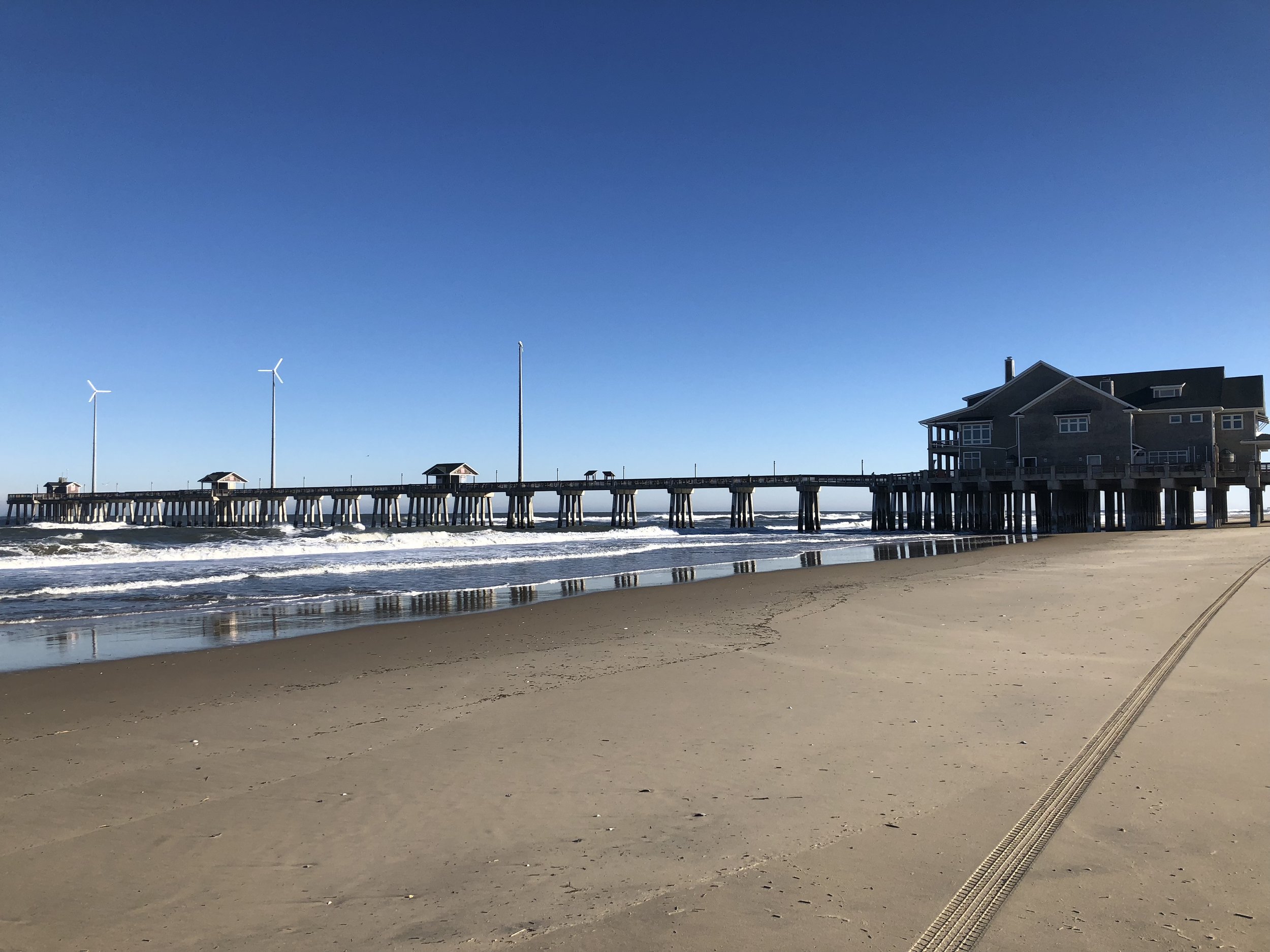
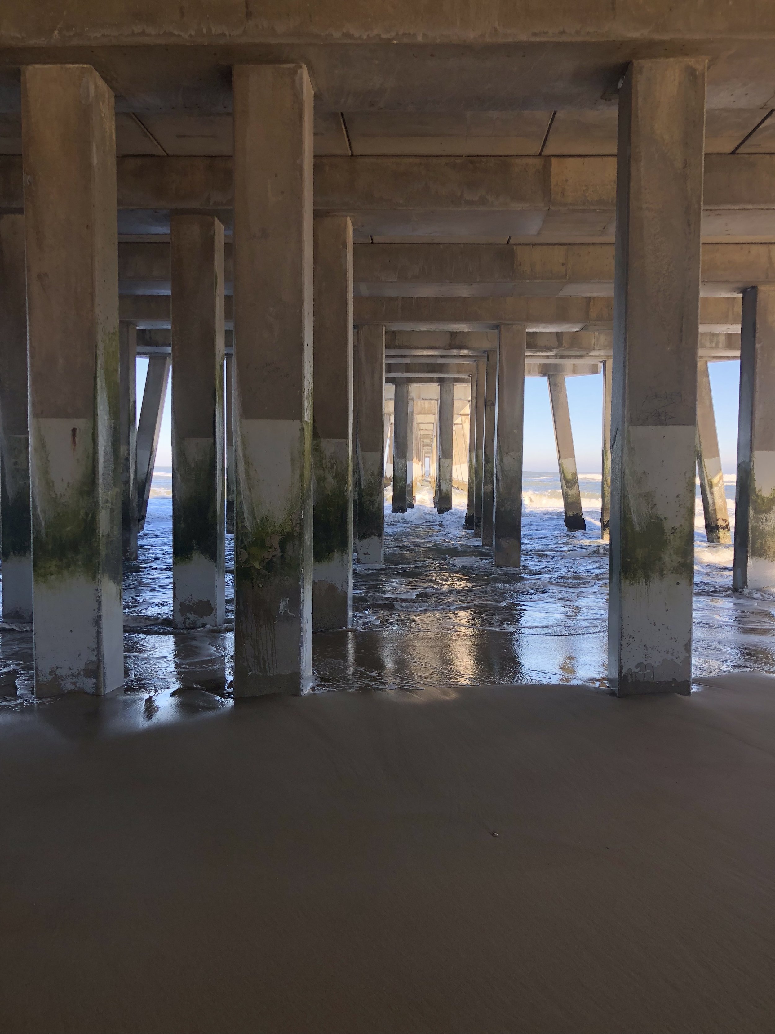
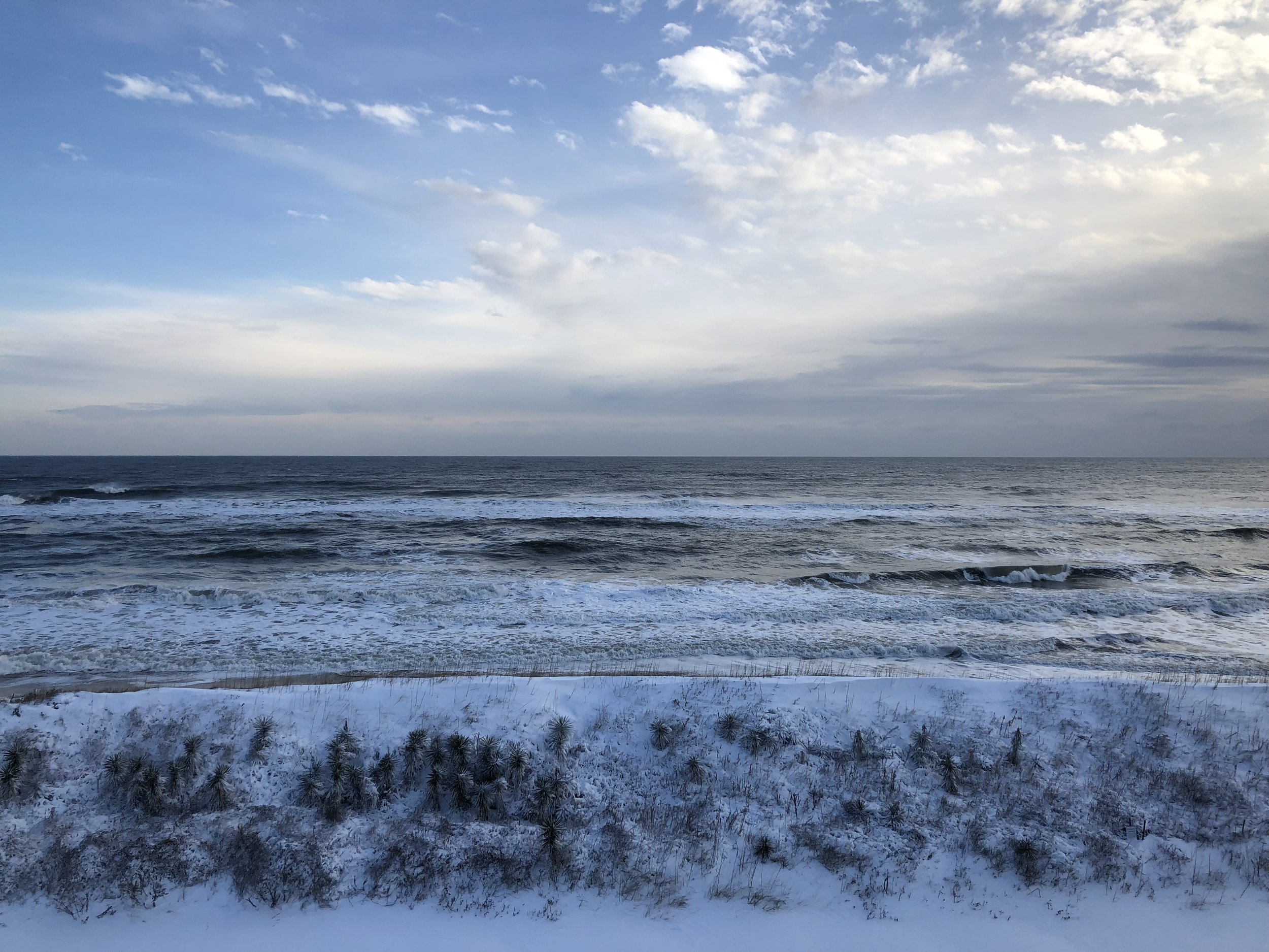
Cape Hatteras National Seashore
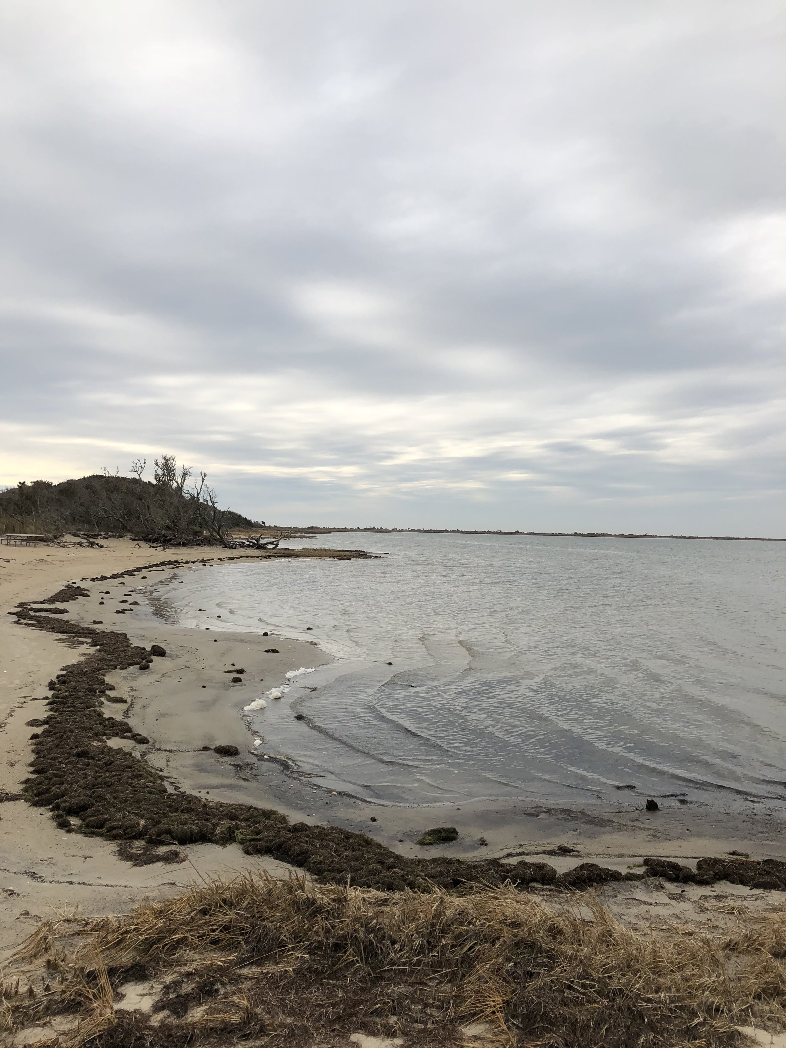
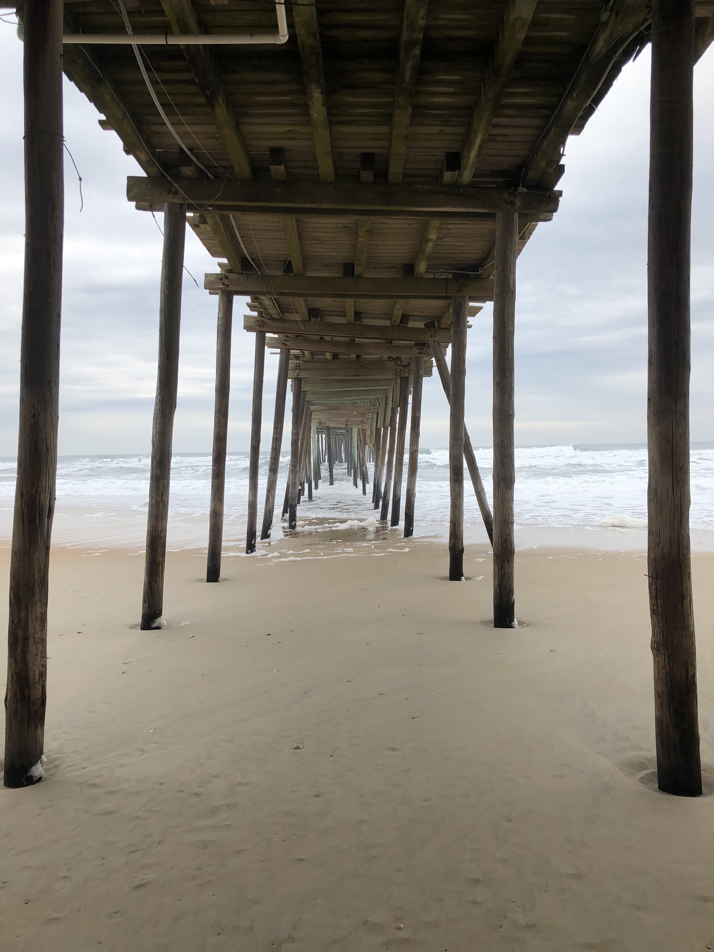
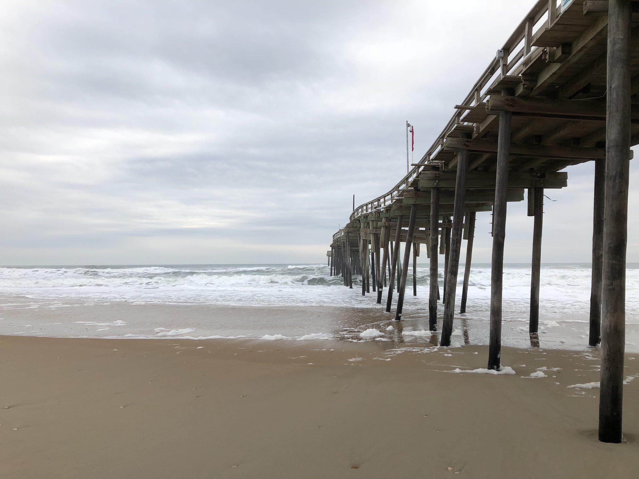
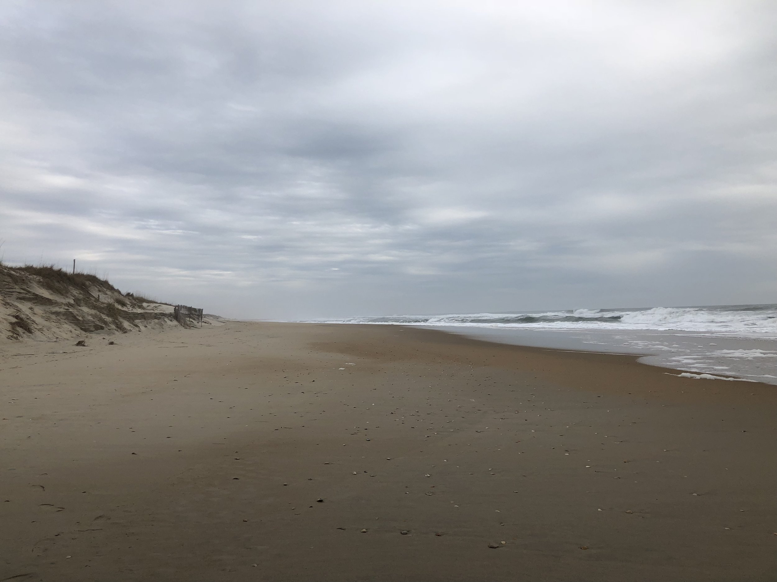
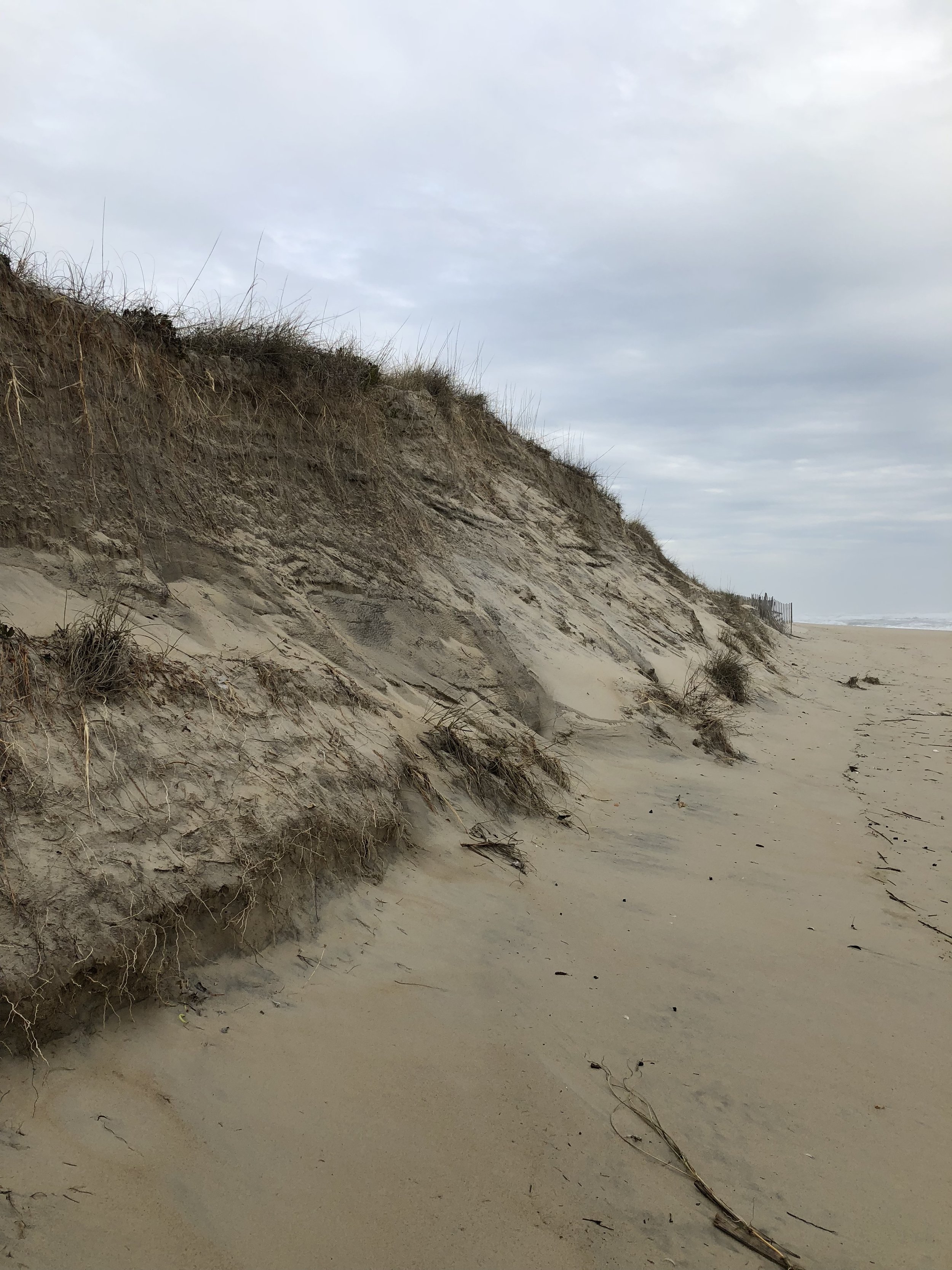
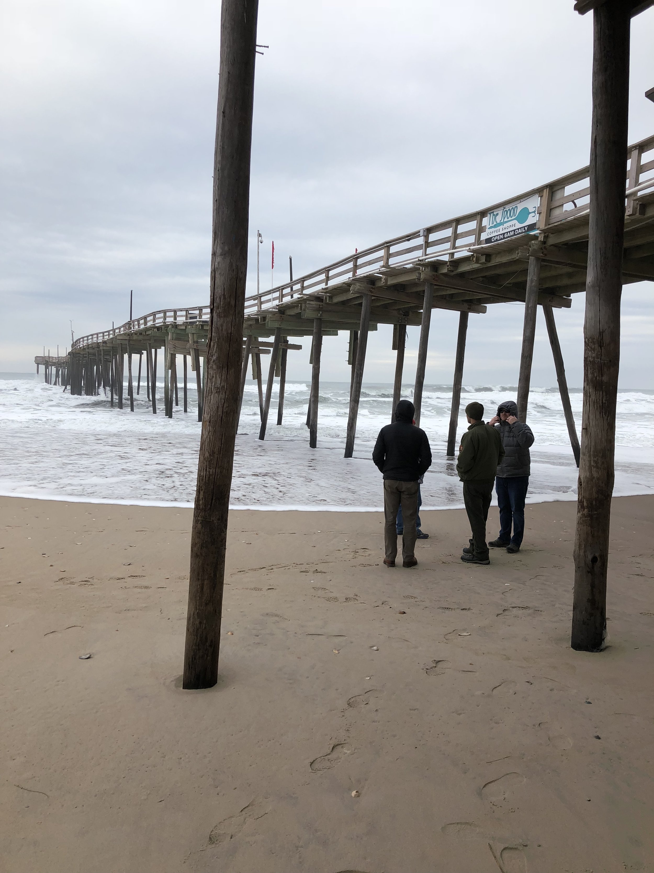
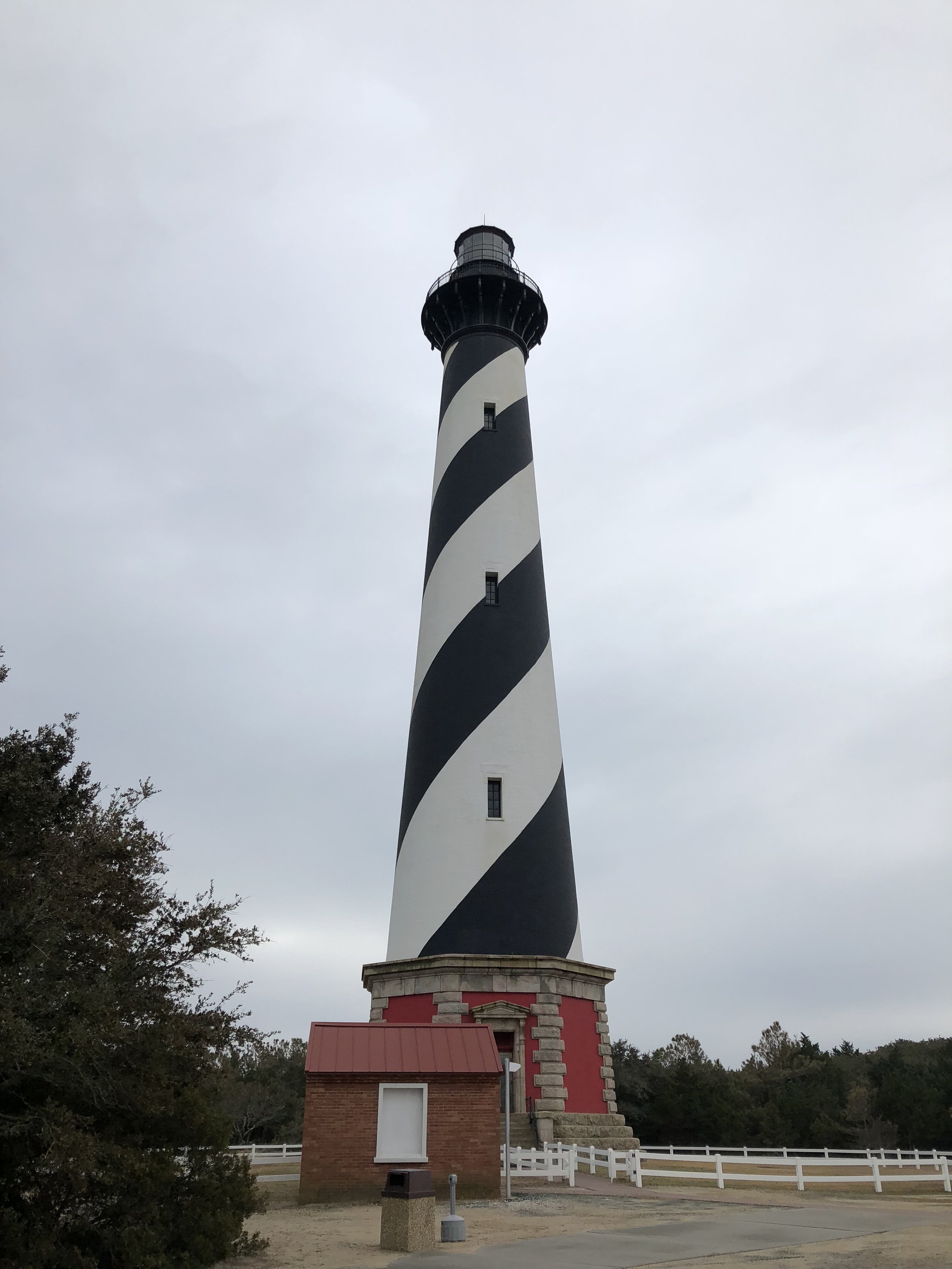
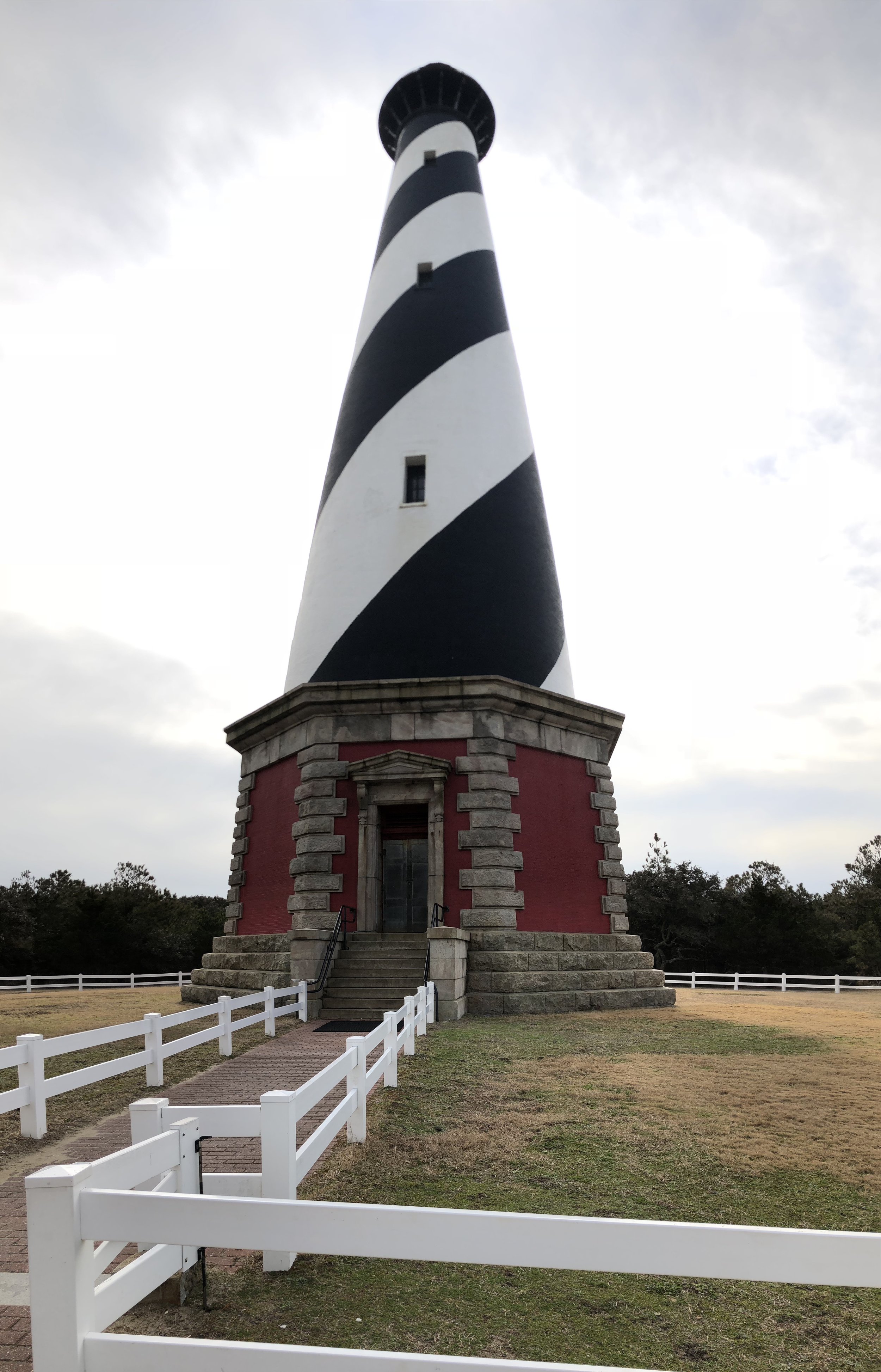
In mid-January of 2018, GSS staff Andy Nadeau and Kathy Allen traveled to Cape Hatteras National Seashore in North Carolina to kick-off the park's Natural Resource Condition Assessment.
The project team selected nine natural resource components for inclusion in the project, from vegetation communities (wetlands and marshes, maritime forests) and wildlife species to water quality and barrier island geomorphology. Park managers are concerned about coastal erosion and sea level rise, due to its impacts on wildlife habitat, water quality, and infrastructure. Cape Hatteras is home to a wide variety of shorebirds and a nesting population of loggerhead sea turtles. During the trip, Andy and Kathy saw numerous wintering waterfowl, miles of coastal dunes and beaches, and an 85-year old shipwreck. They also climbed the Cape Hatteras Lighthouse - all 248 steps - for a spectacular view of the Outer Banks.


GSS Spotlight!

Peter McColl
Student Intern
What is your education and professional background?
I got my B.A. in History with a focus on Medieval Literature and Philosophy since those subjects are in such demand in today's workforce (not). After graduating, I stayed in the area and taught for two years at a tiny parochial school, along with assorted desk jobs for another year. Once I started the M.S. GIS program, I focused on bringing my resume up to speed with relevant field experience. In addition to working at GSS, I've worked for a small forestry company out of Houston, MN primarily doing prairie restorations. For the last six years or so, I've also occupied a variety of roles with the Minnesota Beethoven Festival, an experience which has been pretty formative in the way I approach teamwork and confirmed me as a dry, boring music snob who no one should ever invite to their party.
What made you get into GIS? More specifically, how did you get to Saint Mary's University of Minnesota (SMUMN) in Winona?
My B.A. is from SMUMN and I've always wanted to stay in the area, so when I started looking into some alternative career paths, I naturally gravitated to local colleges. There were a variety of areas I wanted to develop professionally that weren't really an option with the background I had. I've always wanted to do work that really benefits my local community. I really just discovered GIS through research and was immediately intrigued by the possibilities and the variety it offered.
Explain briefly a project at GSS you've done that contributed to your overall knowledge and skillset.
This summer (2017) I had the opportunity to work with some local archaeologists on a dig they were conducting in Virginia. They wanted to analyze clusters of the various artifacts they has unearthed at the site. It was an excellent learning experience translating minimal spatial information into an accurate map display and working with the client to provide the analytic output they needed. Even the small amount of project management I contributed to getting the product delivered provided a window into how complex (and time consuming) that aspect of GIS can be. So shout out to Project Managers!
To see Peter's work, check out our past blog post: GIS and Archaeology
How do you see GIS fitting into your future?
The field is so versatile, I could see myself applying it in any number of ways. As I said earlier, I'm fascinated by the tools it provides to local community development projects. Whether its protecting a natural resource, analyzing demographic statistics, or used as a tool to promote local tourism, GIS can support and enhance any number of efforts to improve quality of life for communities of all sizes.
Where can we find you outside of GSS?
I am a husband and father of three, so if I'm not working or studying, I can be found with my amazing family. Outdoor recreation figures prominently in our lives and we're constantly adding to our ridiculously outsized menagerie of farm animals. Rabbits, a cow, chickens, sheep, dogs, and cats thus far, not to mention the odd hamster. In my rare moments of unoccupied time, I really enjoy reading - mostly fiction or alternative agriculture propaganda.
Douglas County, WI Workshop
On December 8th, 2017, Kevin Benck presented a training session workshop for Douglas County, WI staff on the use and application of a set of tools and data that will aid county staff in the identification and prioritization of wetland restoration sites/projects.
Over the last several years, GSS Analysts have been working with the Douglas County, WI Land and Conservation Department (LCD) to develop a site selection/prioritization protocol and the necessary tools and data as a component of a multi-criteria decision support system to support land management, proposed development, evaluation of wetland mitigation proposals and the creation of regional in-lieu fee mitigation (ILF) program.
GSS worked with the LCD to develop a site selection matrix protocol, the data required for this matrix, and the design of the geospatial tools to support decision-making. GSS developed geospatial datasets representing a functional assessment of current wetlands, locations of potentially restorable wetlands, and a variety of other hydrologic and land use datasets that were used to populate the site selection/prioritization matrix. Finally a set of tools were developed that allows County staff to interrogate the datasets that populate the matrix and generates data outputs that can be incorporated in the decision-making process for site selection, or to identify high priority locations for wetland restoration or preservation, or to create new matrix data for use in scenario planning or other what-if situations.


GIS and Archaeology

A map displaying the hotspot analysis on the distribution of ceramic sherds inside the project site (Newport House)
During the summer of 2017, GSS student intern Peter McColl participated in an archaeology study with James Gloor and Carol Reynolds of the Archaeology Society of Virginia. Peter used his GIS expertise to run a hotspot analysis on the data collected from the archaeology dig at the Newport House near Eyre, Virginia (see map below). He helped determine what types of ceramic sherds (and how many) were distributed throughout the project site. Peter also designed many maps that James and Carol used in their final report.
The Archaeology Society of Virginia held their annual meeting on October 26-28th, 2017. At this conference, James and Carol presented their findings; Peter's work was recognized and published.

2017 Wetland Mapping Consortium
On October 18th, GSS Director Andy Robertson presented at the 2017 Wetland Mapping Consortium about the work GSS is doing with the Stockbridge-Munsee Mohican Community in Wisconsin.
To view his online presentation titled "Developing a Spatially Enabled Wetland Program Website to Communicate the Importance of Tribal Land Management", click here.
This webinar series is put on by the Association of State Wetland Managers (ASWM), a nonprofit membership organization designed to promote and enhance management of wetland resources across the nation.
Tribal Story Map Workshop
On October 18th and 19th 2017, GSS hosted the two-day “Tribal Story Map Workshop” at the Saint Mary's University Alverna Center. The workshop was funded by a US EPA grant and conducted as a collaborative effort between GSS and the Stockbridge-Munsee Community Environmental Department.
“By the end of the two days, participants were already using their own data to produce Story Maps for use in their own projects!”
The goal of the workshop was to provide members of tribal government organizations with technical training in how to develop Esri Story Maps using ArcGIS online tools. Story Maps are web-based applications that integrate multimedia, narratives, and web maps to effectively convey a story. Incorporation of these Story Map applications in their work will provide members of tribal organizations with an effective tool for not only sharing information internally but also to the general public for education and outreach. The workshop was well received by the 18 workshop participants as well as US EPA representatives in attendance.
West Wide Wetland Functional Assessment
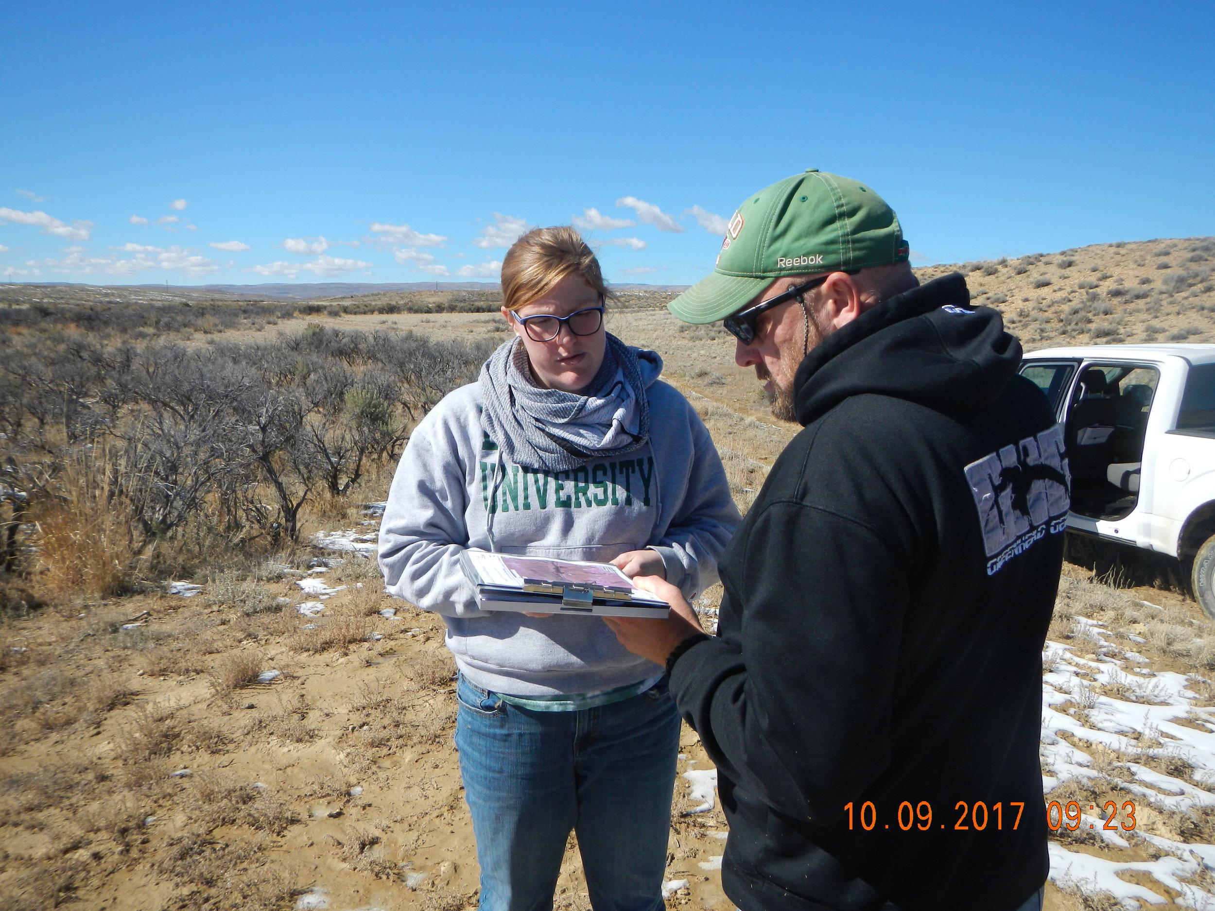
On October 24th and 25th of 2017, GSS staff traveled to the BLM headquarters (National Operations Center) near Denver Colorado for a meeting to discuss the application of wetland functional assessments across the semi-arid and arid western landscape.
In addition to GSS (Hannah Hutchins, Andy Robertson, and Kevin Stark) and BLM AIM staff, skilled wetland scientists and landscape ecologists were in attendance from the following organizations:Colorado Natural Heritage Program, Montana Natural Heritage Program, New Mexico Environment Department, Wyoming Natural Diversity Database, and Utah Geological Survey.
This collaborative meeting was designed to open up dialog regarding current wetland mapping and classification methods used across the west and then discuss how to apply consistent hydrogeomorphic characteristics to wetlands which will then feed a standardized wetland functional assessment in areas that need updated data.

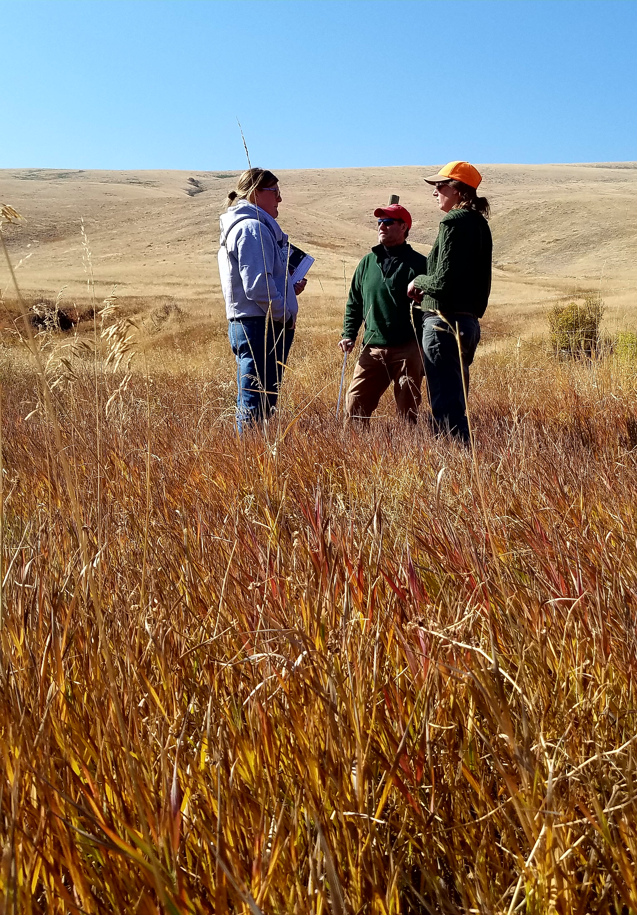
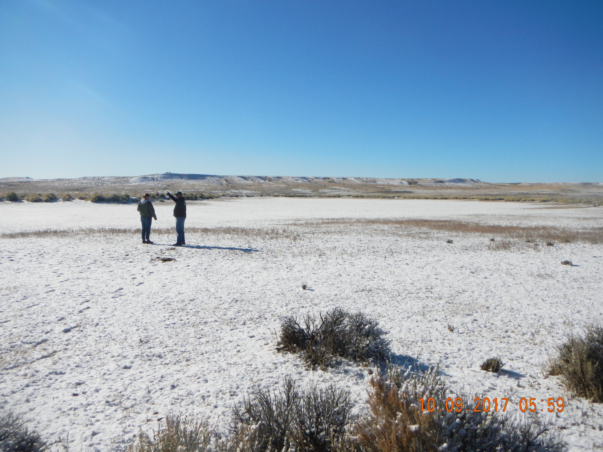
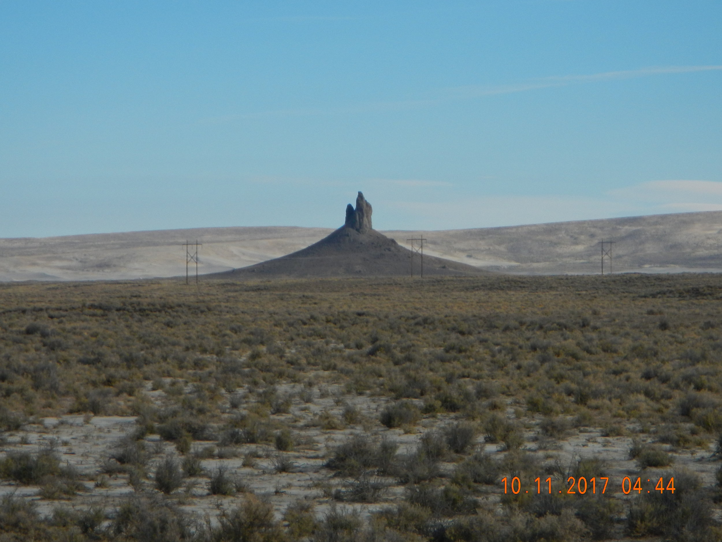
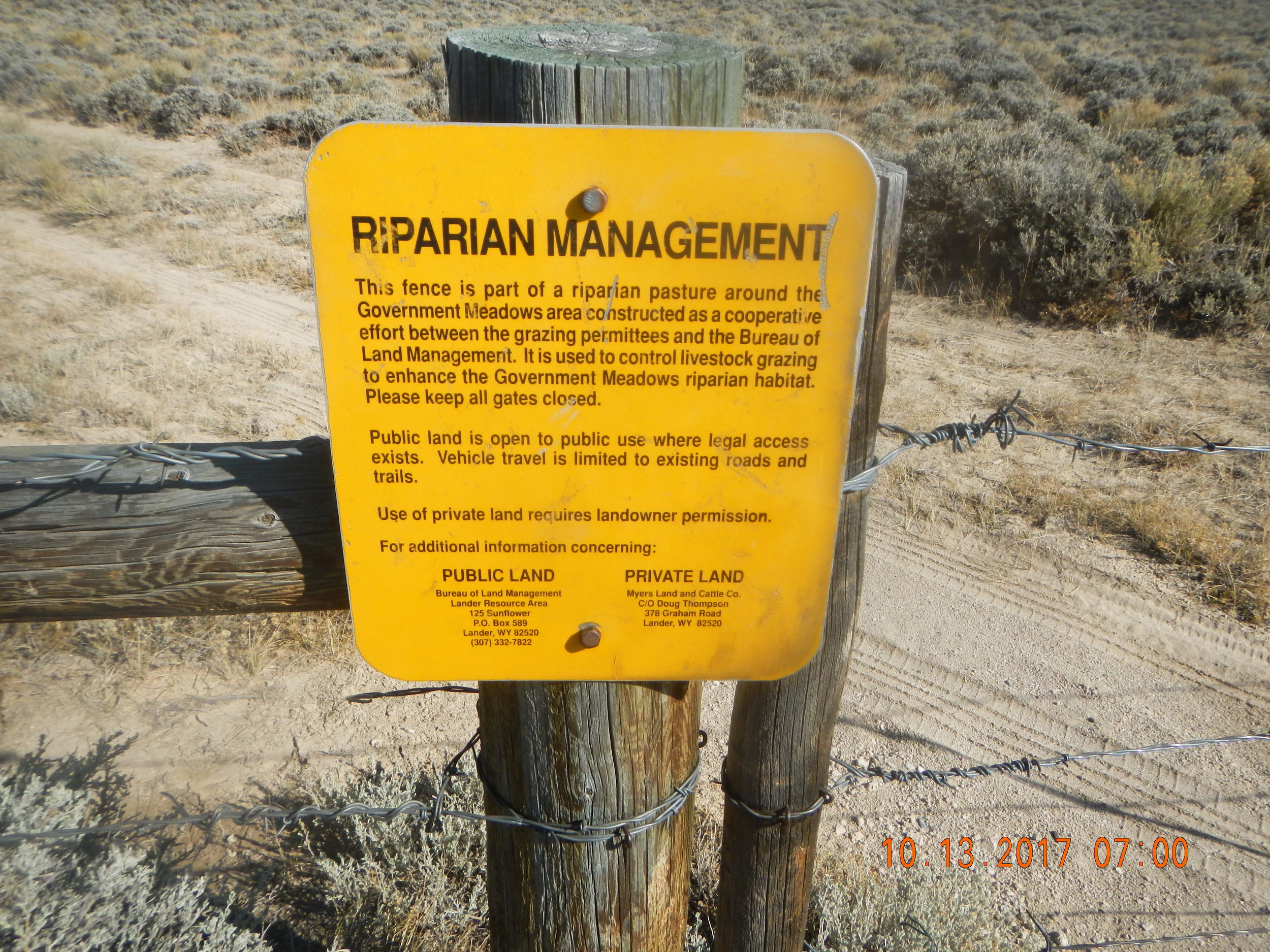
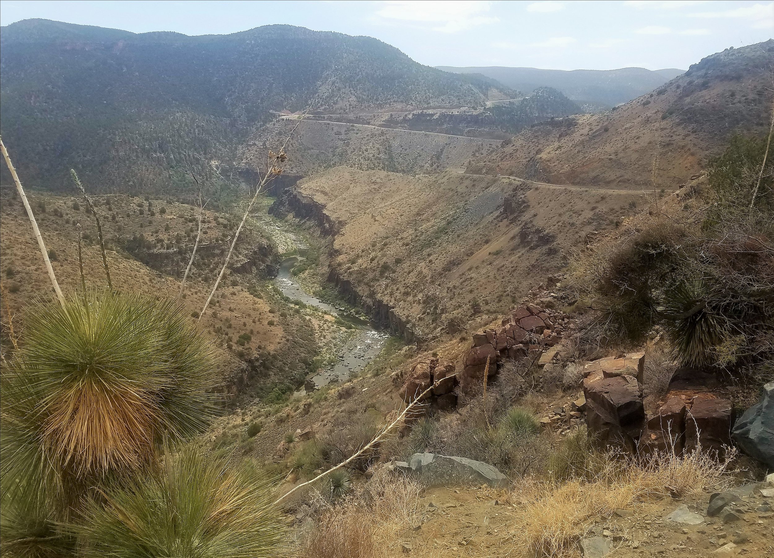
Wyoming BLM Fieldwork
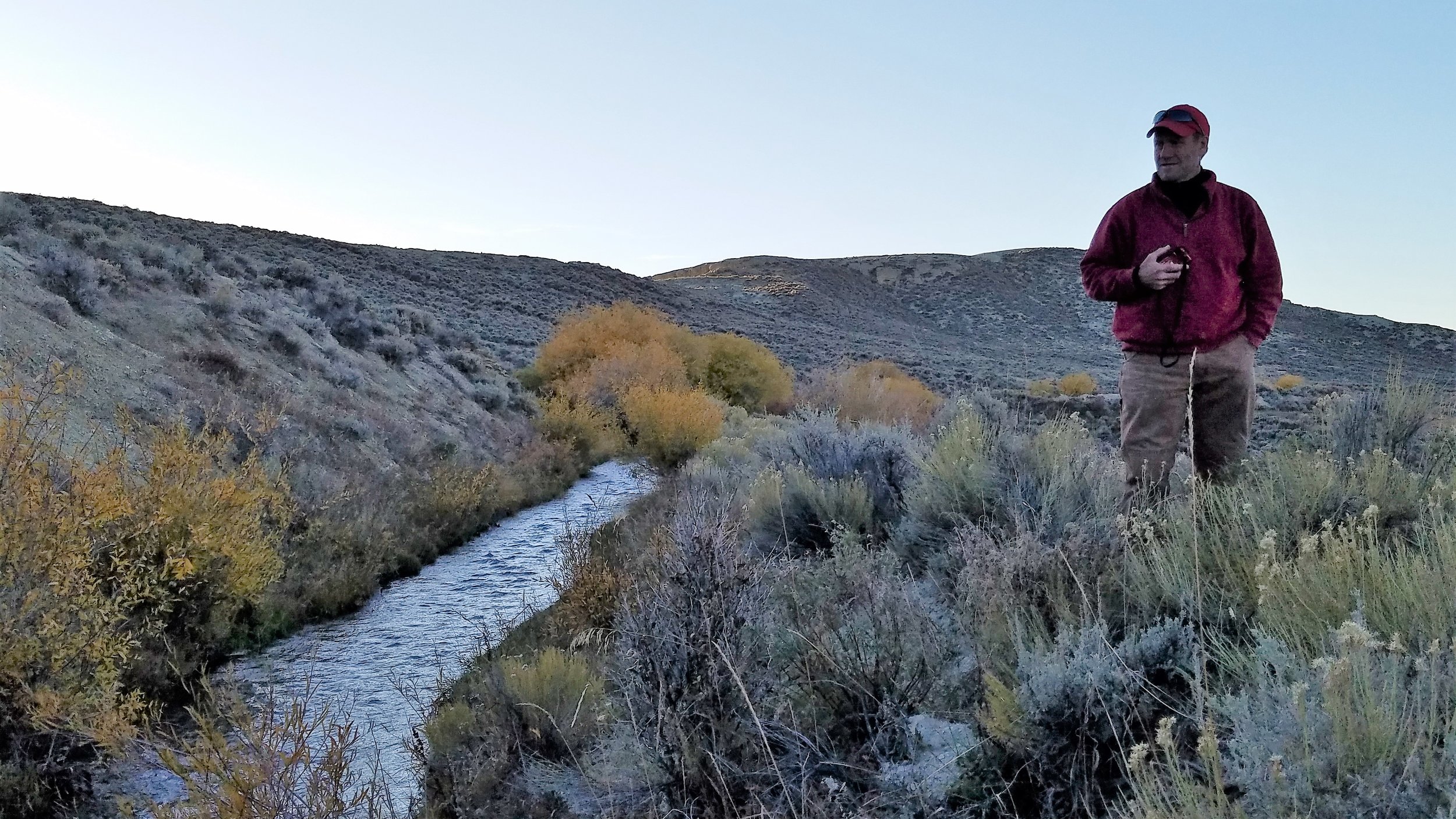
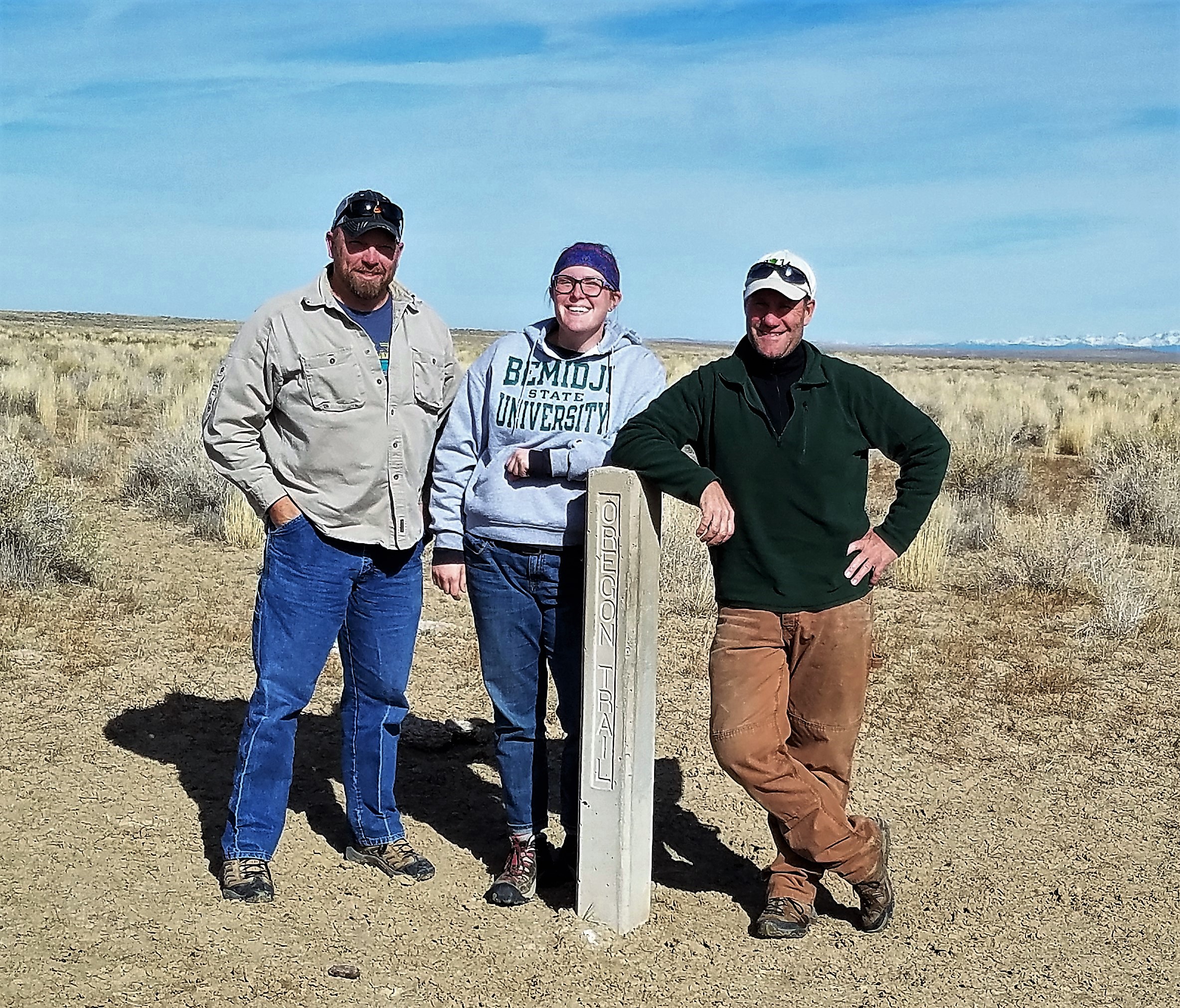
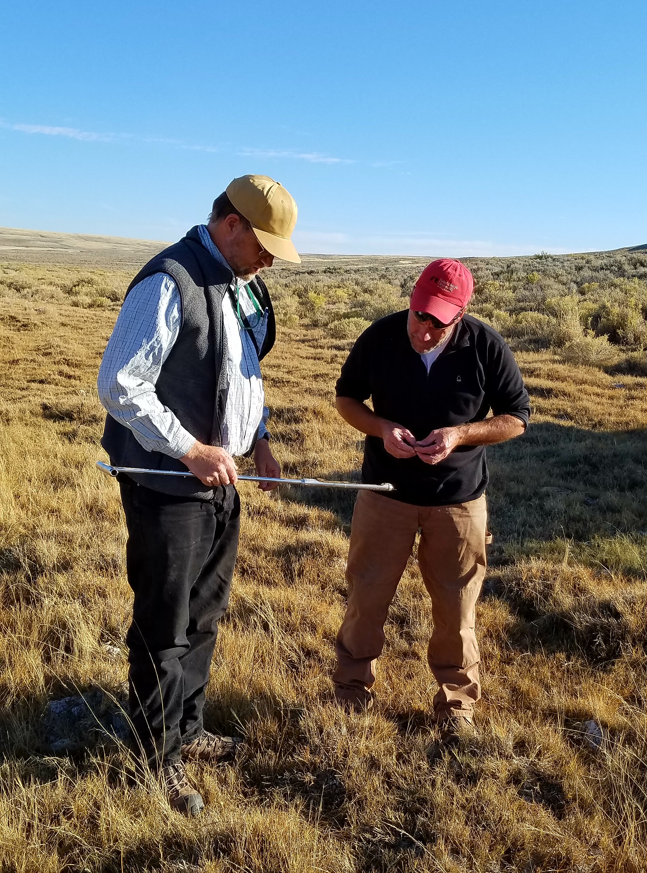
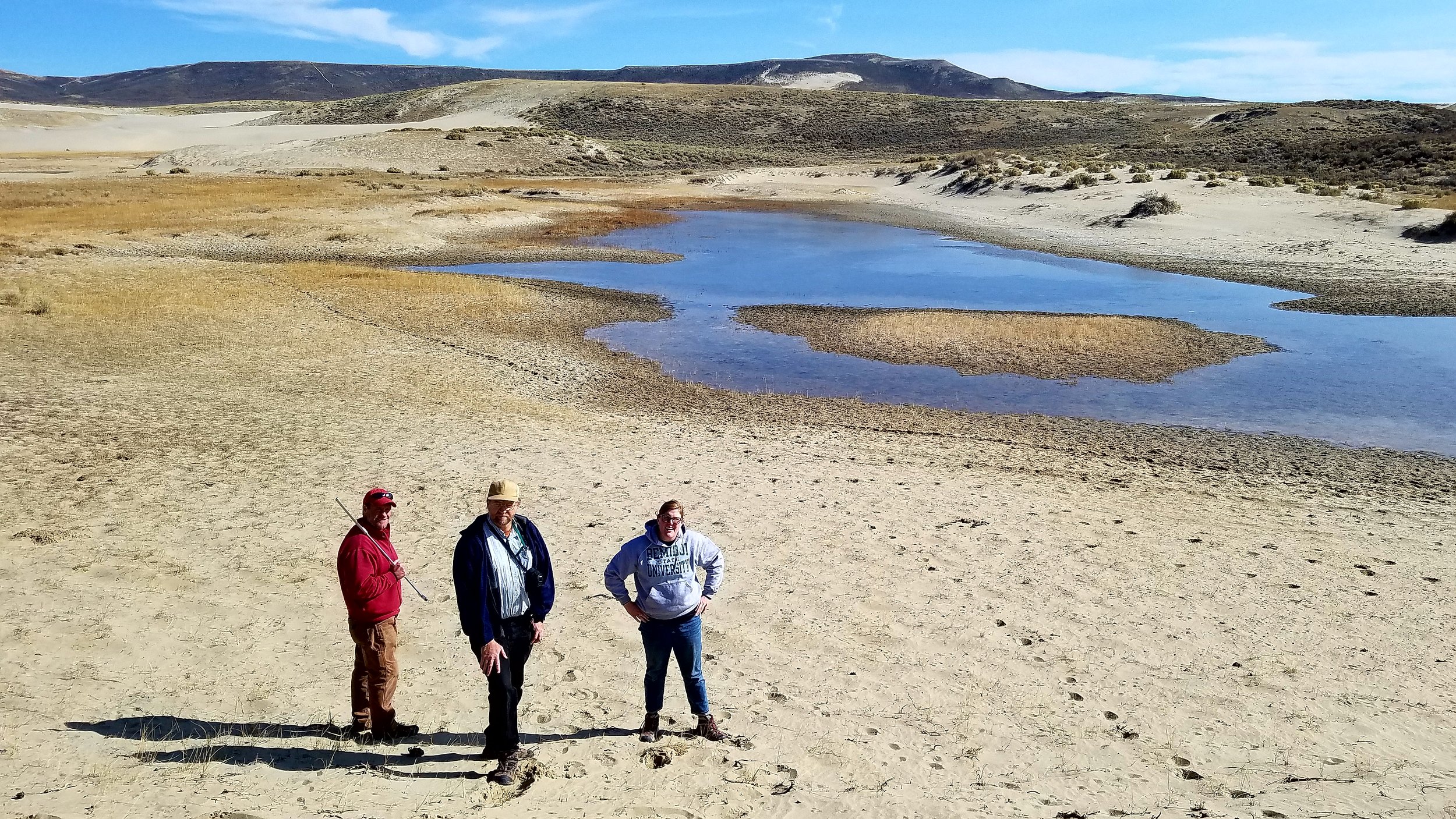
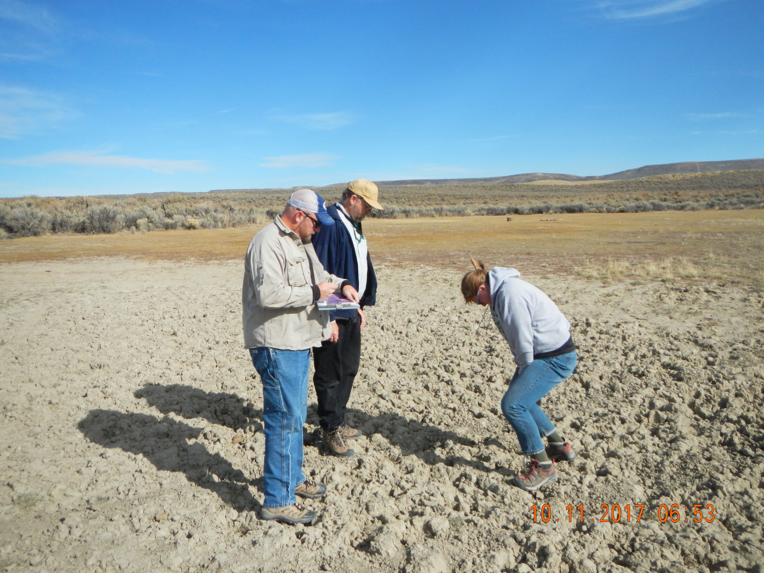
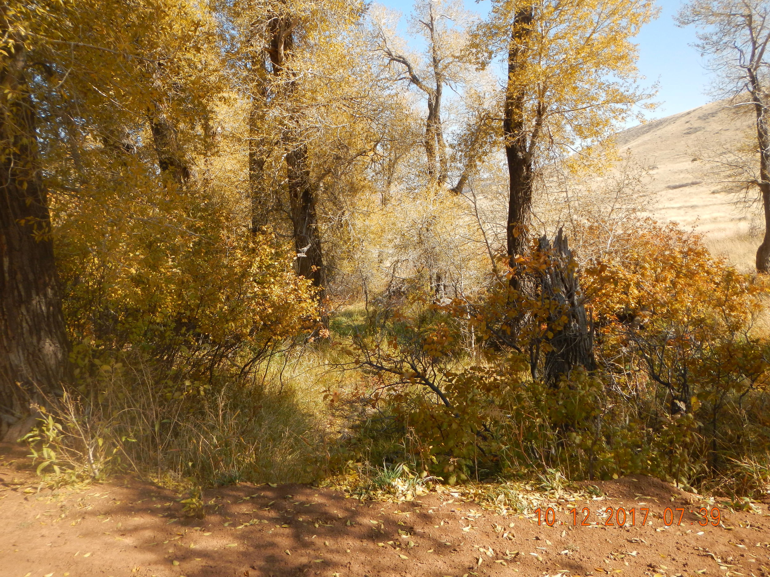
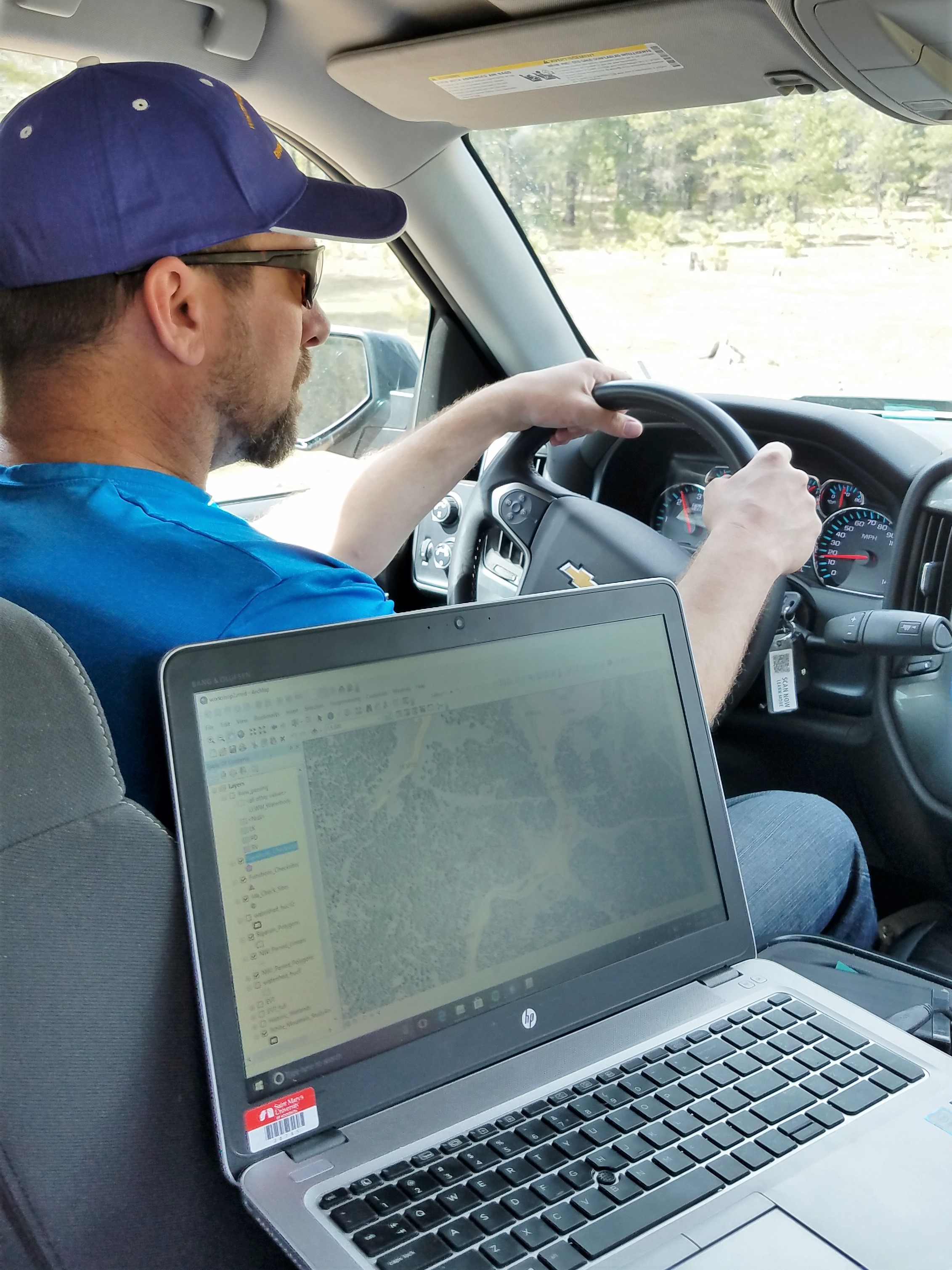
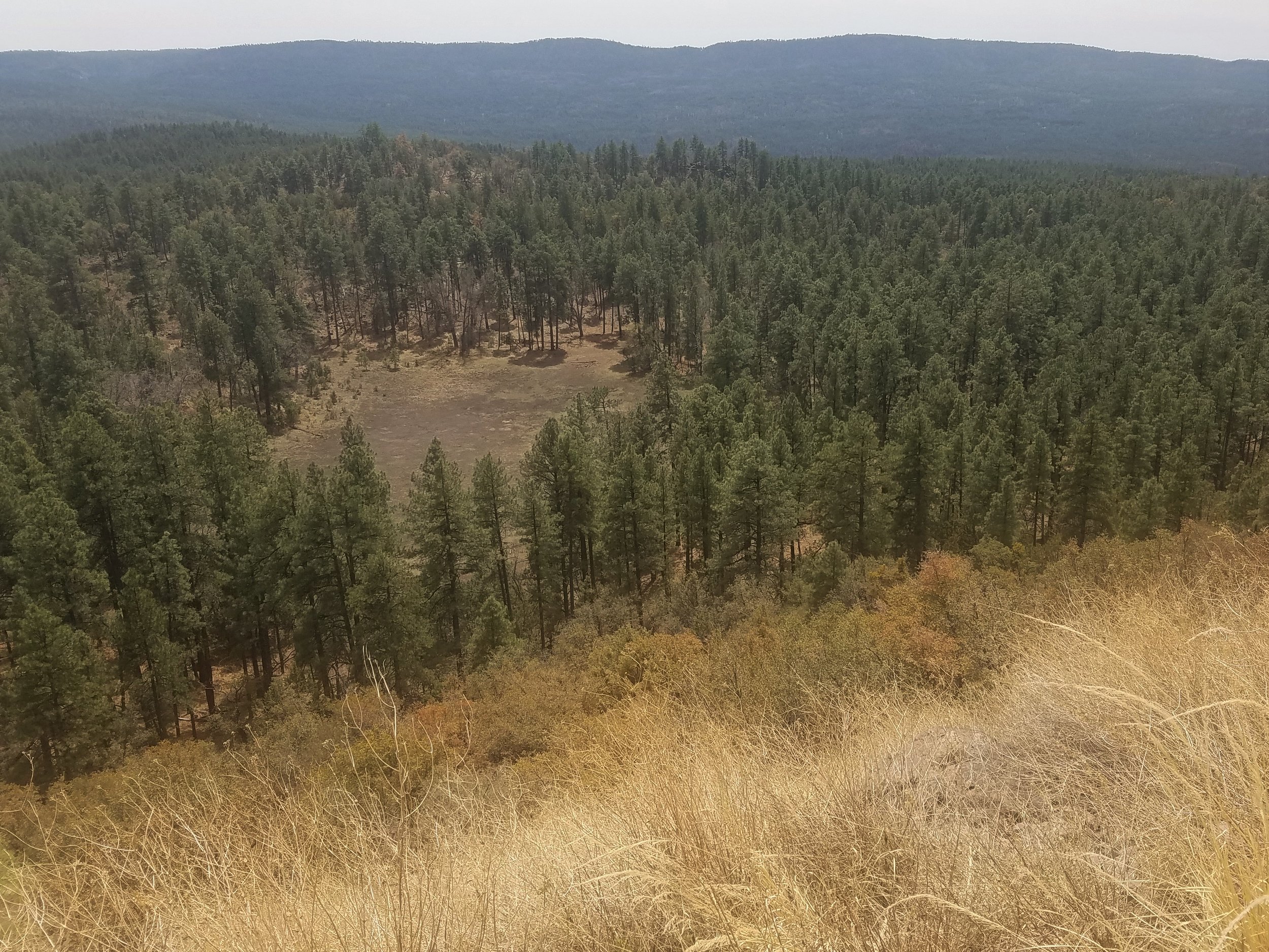
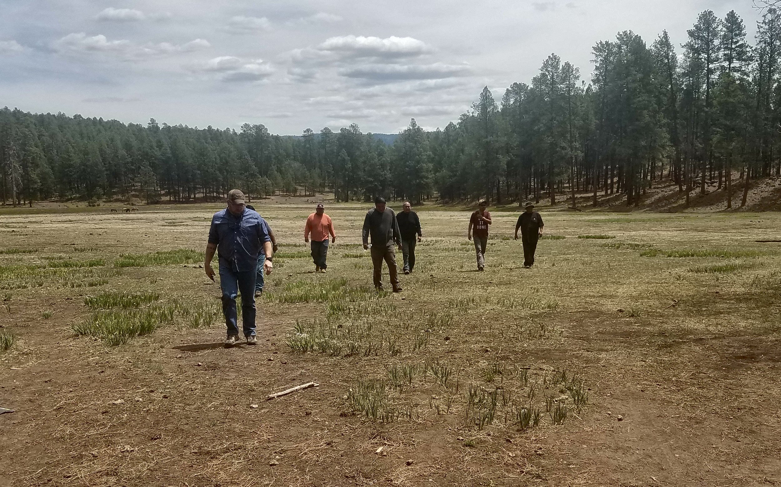
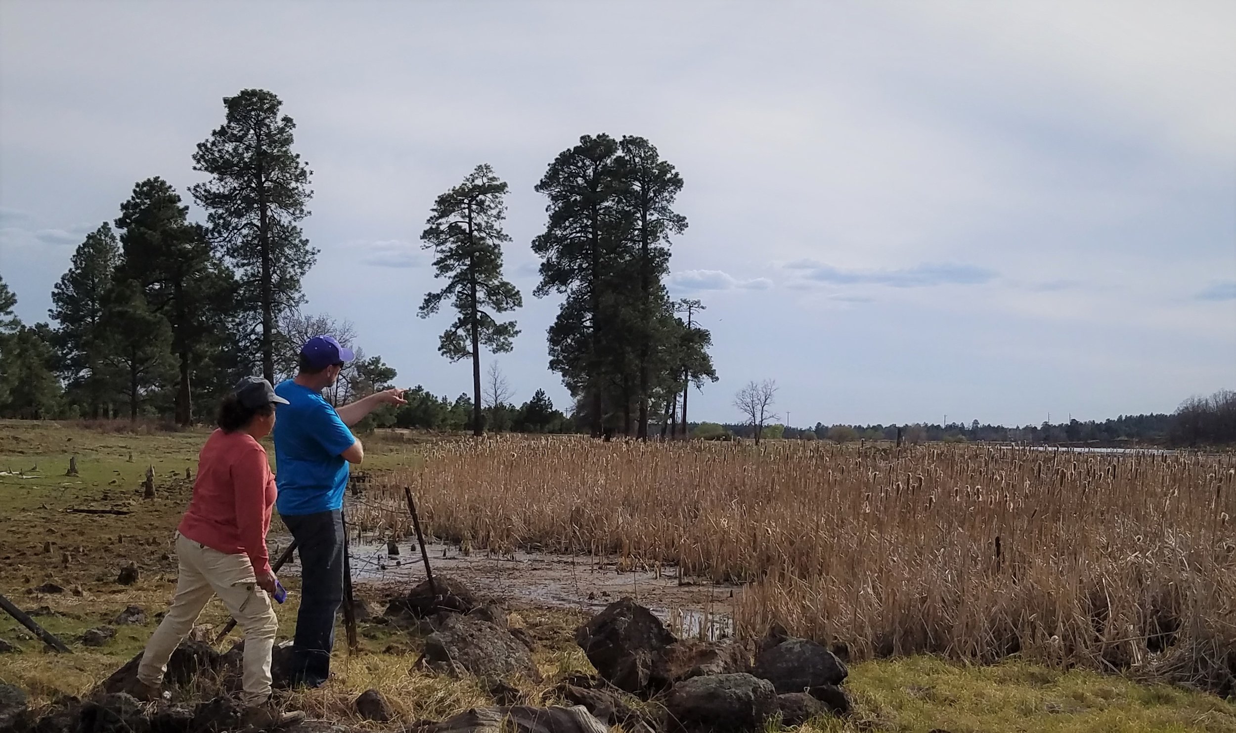
GeoSpatial Services staff members, Andy Robertson, Hannah Hutchins, and Eric Lindquist spent the week of October 9-13 doing pre-mapping fieldwork for the Bureau of Land Management Wetland and Riparian Area Mapping and Assessment Project.
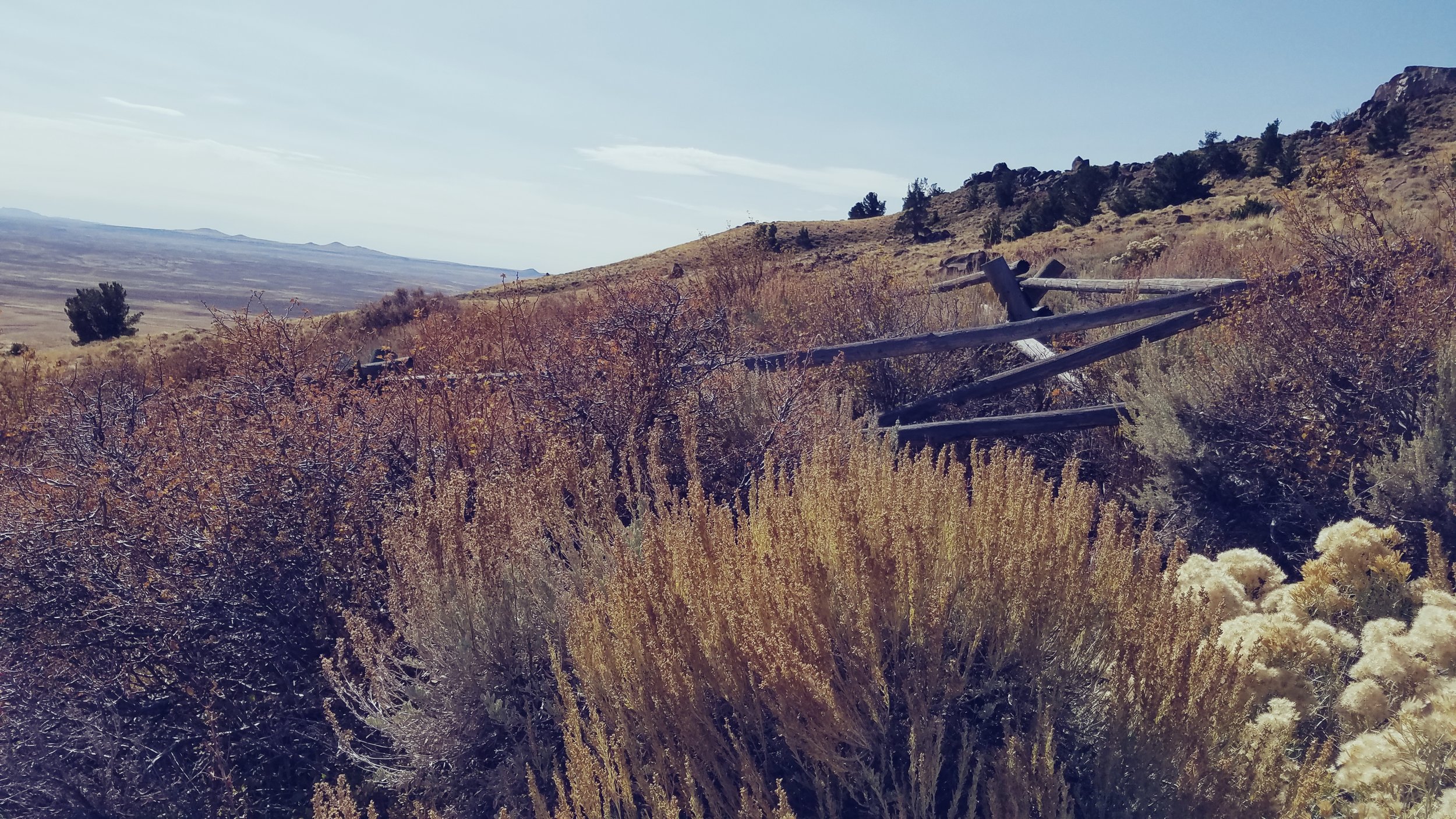
The team traveled the approx. 6.4 million acre study area that is often referred to as Wyoming’s Red Desert, located in south central Wyoming. Staff visited the unique landscape for the purpose of ‘ground truthing’ upcoming mapping in the area. This part of Wyoming includes areas of the Great Divide Basin, the Killpecker Sand Dunes and parts of the Oregon Trail, California Trail, Mormon Trail and the Pony Express. It is located at the base of the Wind River mountain range of the Rocky Mountains. GeoSpatial Services also met with members of the Bureau of Land Management and WYNDD (Wyoming Natural Diversity Database) while in the field to enhance understanding of the area.
The geography of the study area has influenced much of its use, especially the water and land use. Ranching and oil/gas are the dominant economic activity. Cattle and humans share the varied water and land resources with elk, antelope and many other types of wildlife.
Dozens of different wetland sites were visited making it a priority to document the present plant species; how water is moving through and sitting in the wetland landscape; and what, if any, surrounding land use practices are potentially affecting the wetland feature at hand.
Once mapping and classifying these semi-arid west wetlands are complete, a wetland functional assessment will be performed to determine what services the wetlands can provide to the surrounding ecosystem.